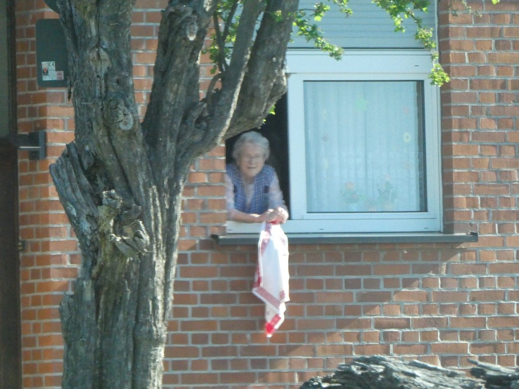
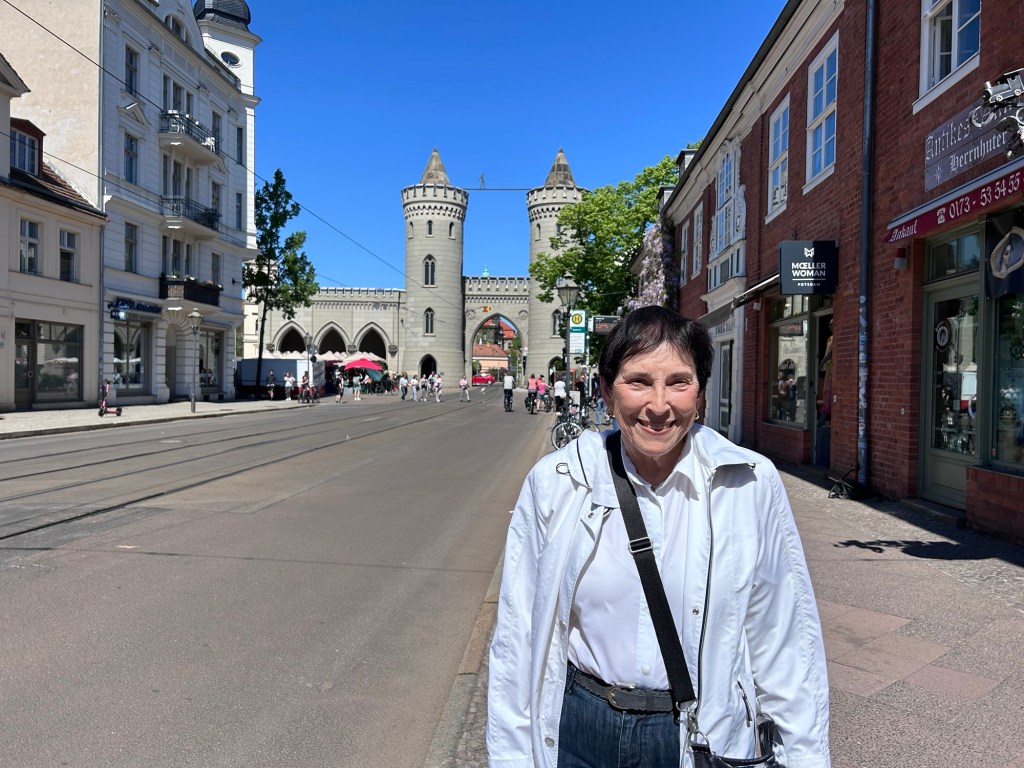
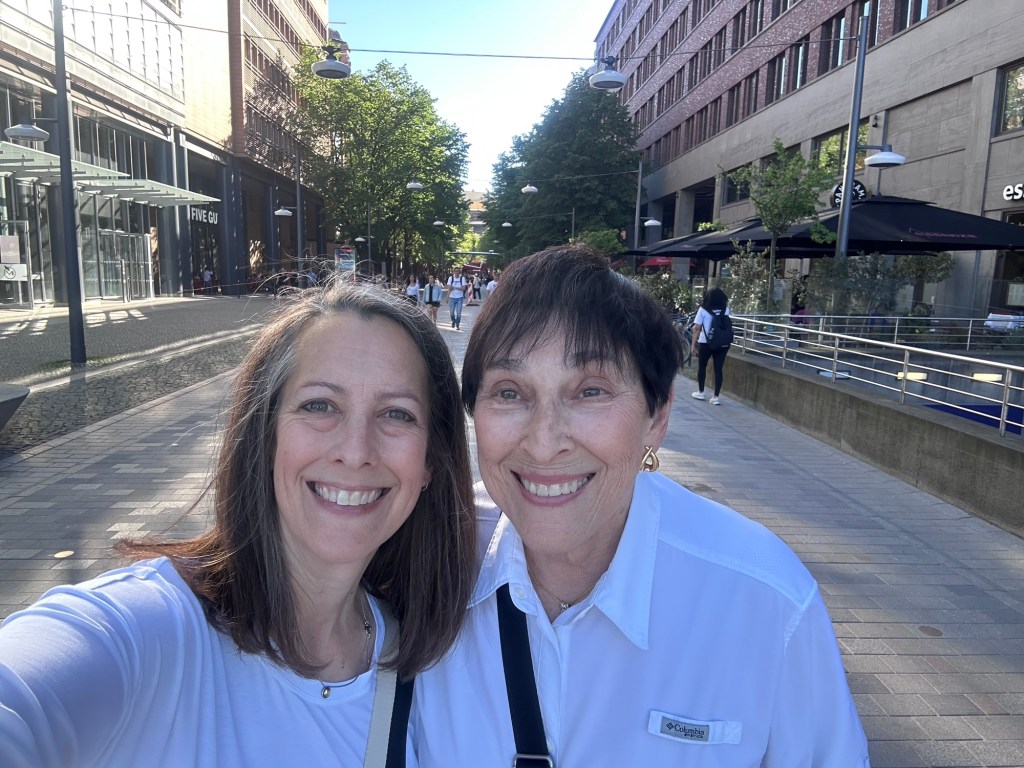
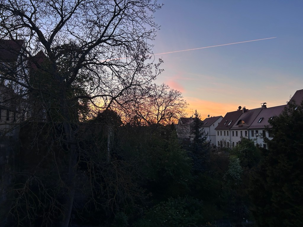
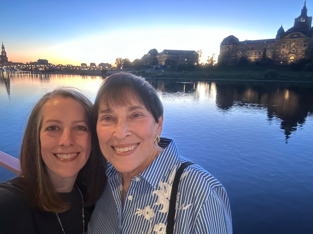
We left the ship this morning for the final time. The day was organized with a ride of 1 hour to the town of Potsdam. We had a tour in Potsdam with time for lunch. Then we transferred to Berlin. The sign saying you are in Berlin was only 10 minutes into our ride, but to actually get to the heart of Berlin and our hotel took an hour. When we left the ship there was an older woman who waved at all the buses each time we left the boat.
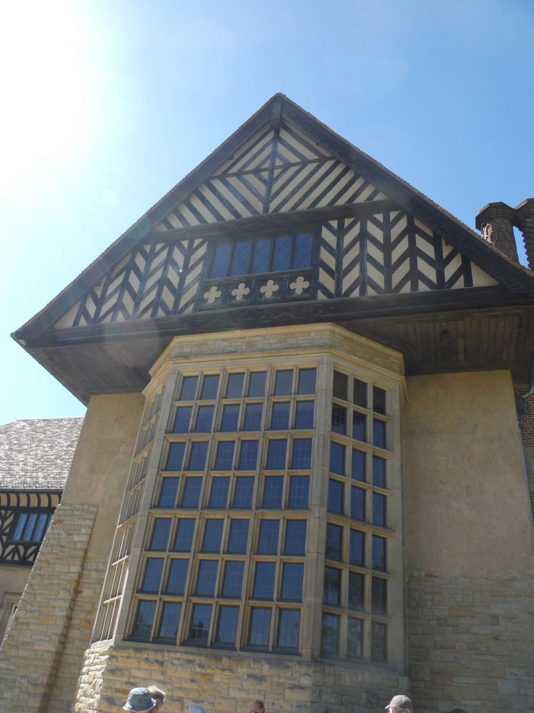
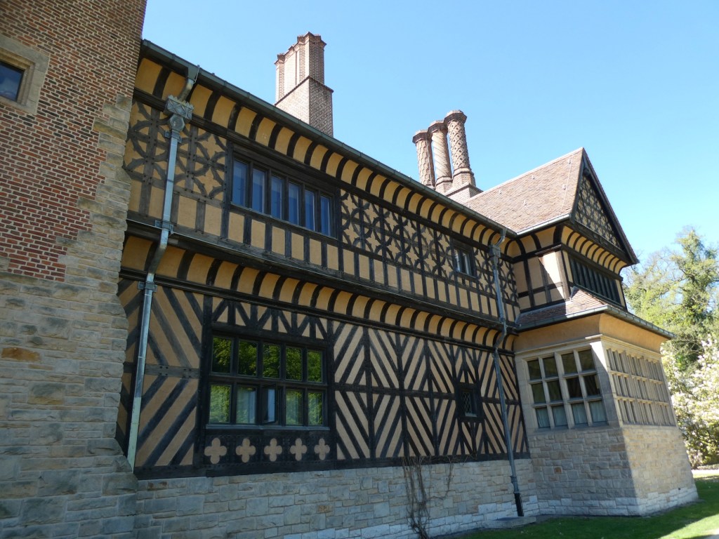
Potsdam is the capital of the Brandenburg region of Germany. It means under the oaks. It is famous for the Potsdam Conference which was held at the end of World War II to divide up Germany. The leaders at this conference were Stalin, Churchill and Truman. The purpose was to also denazify Germany, deal with war criminals and to support democracy. We toured the exterior of the palace where the conference was held. They only made an agreement not a treaty. It was held at Schloss Cecilienhof. This was the start of the Cold War.
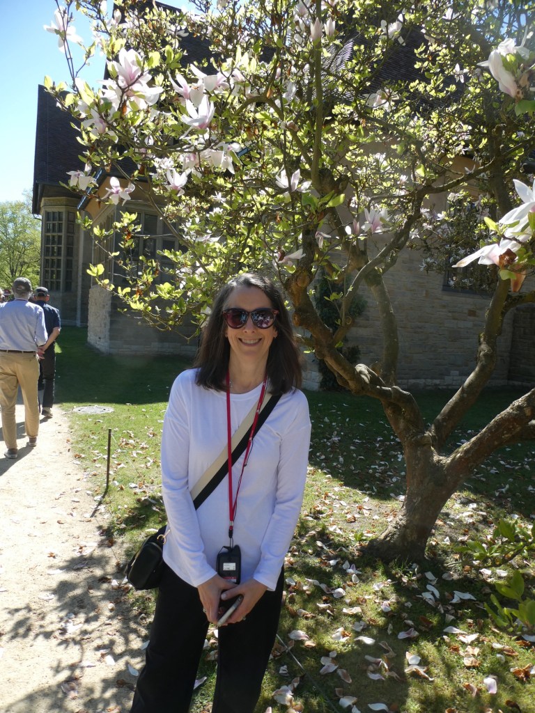
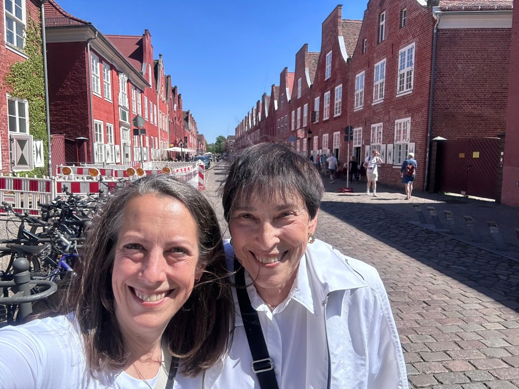
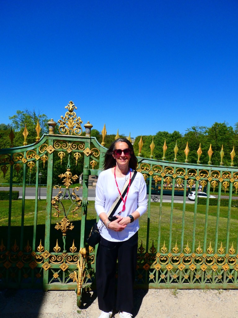
Magnolia tree and JenGreen Gate in PotsdamDutch area in Potsdam
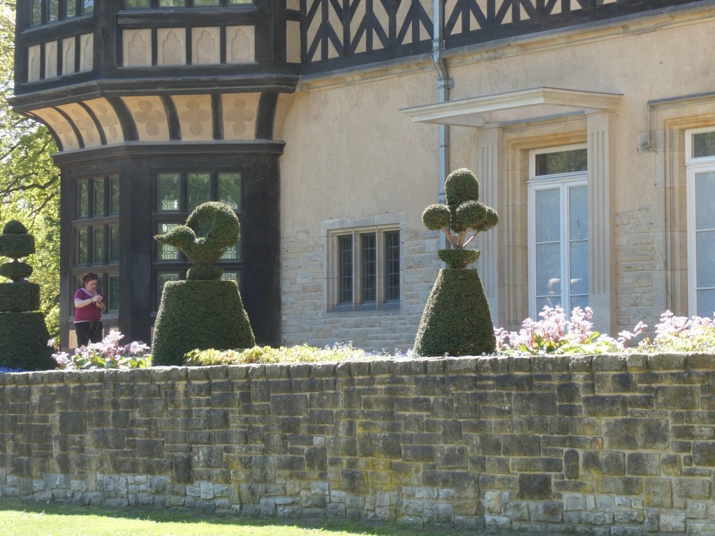
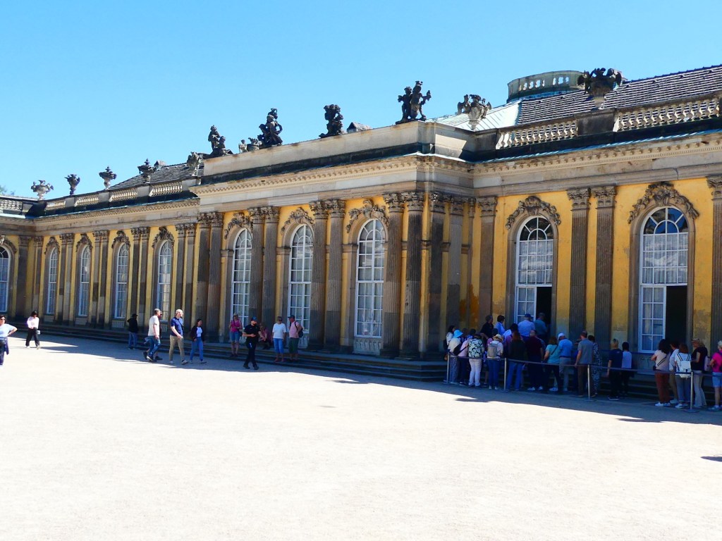
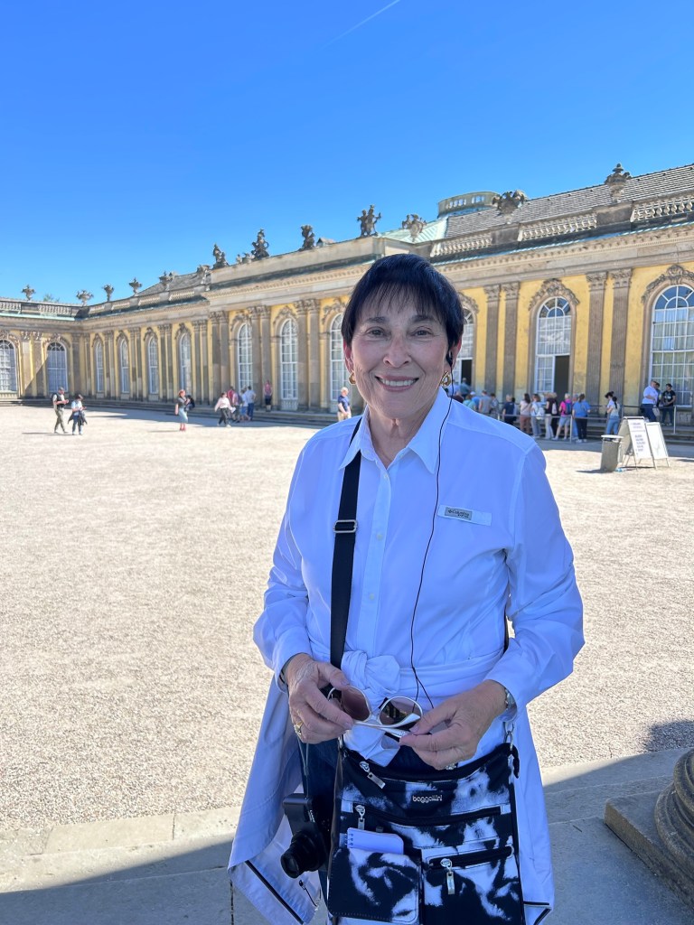
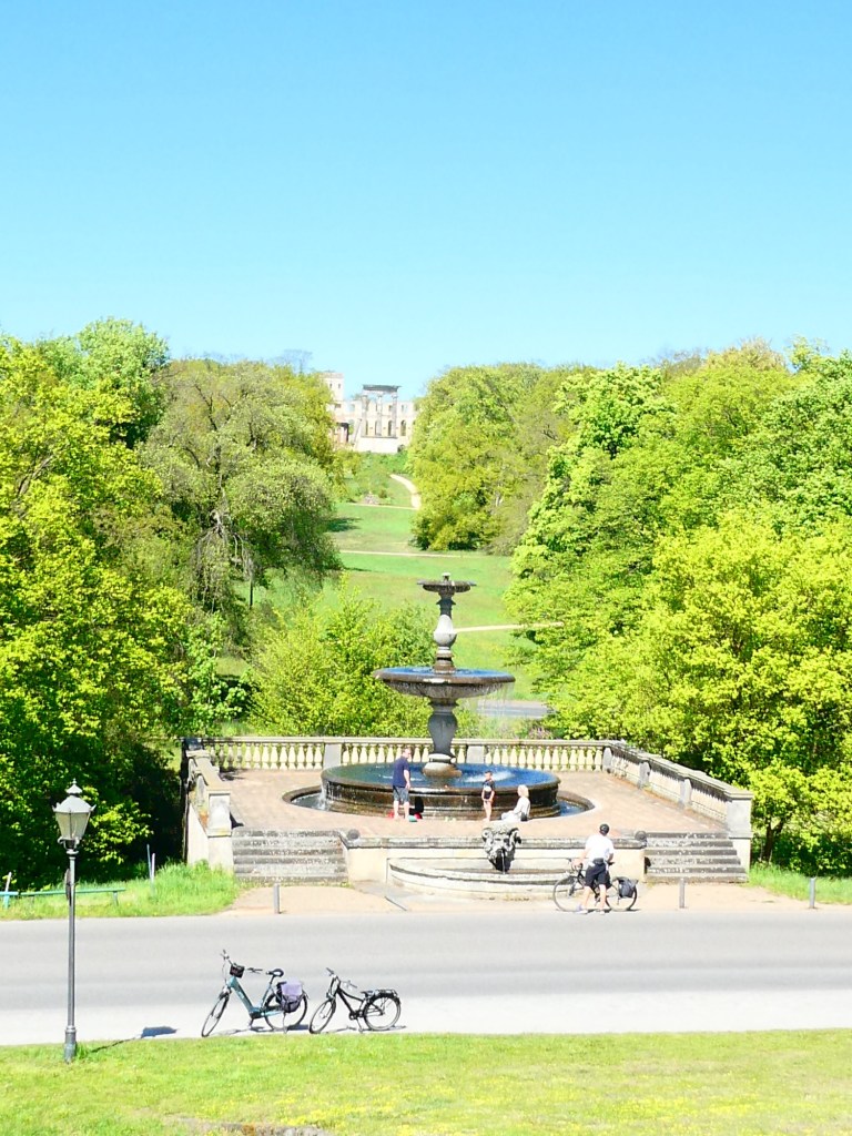
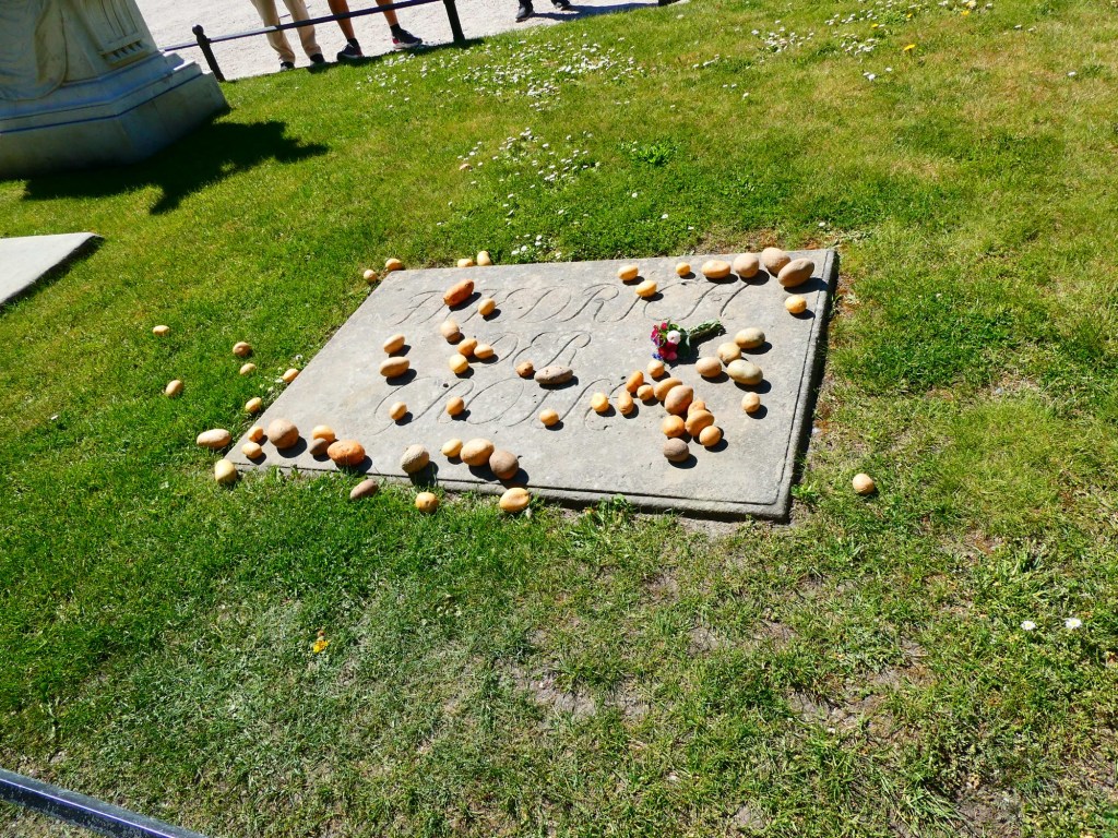
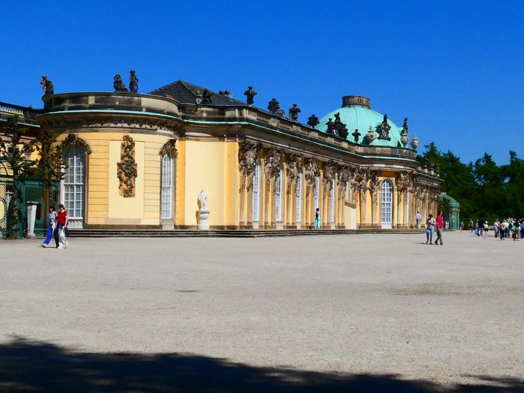
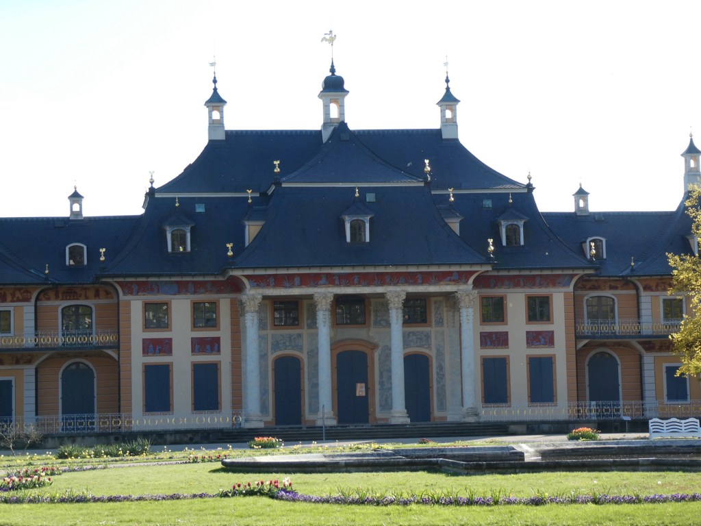
We then went to our second stop which was Sanssouci Palace. It was built for Frederick the Great in only 2 years. It is a small palace and was only used by him. He had a well stocked library of over 2,000 books all bound in red calfskin. Frederick the Great came into power at the age of 28 in 1740. The decorations were very ornate. The palace was in a huge park.
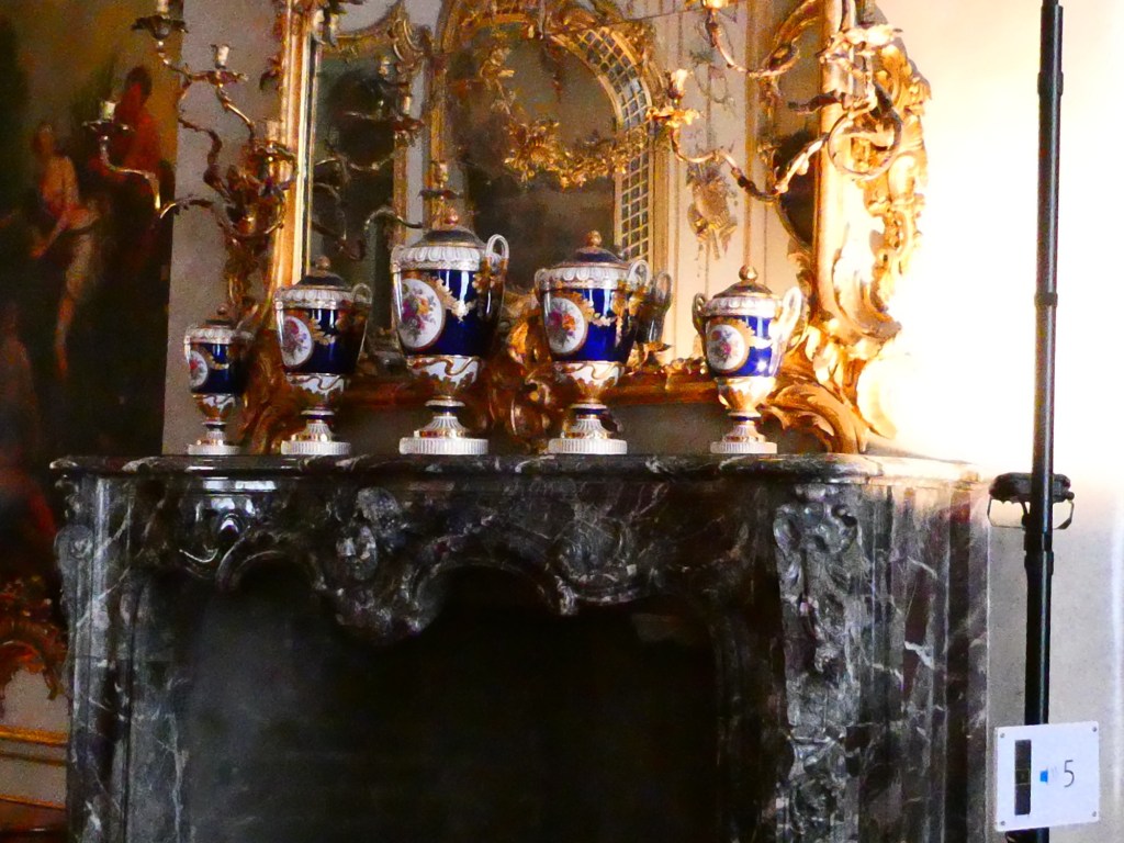
Frederick the Great’s grave covered in potatoes Meissen vases
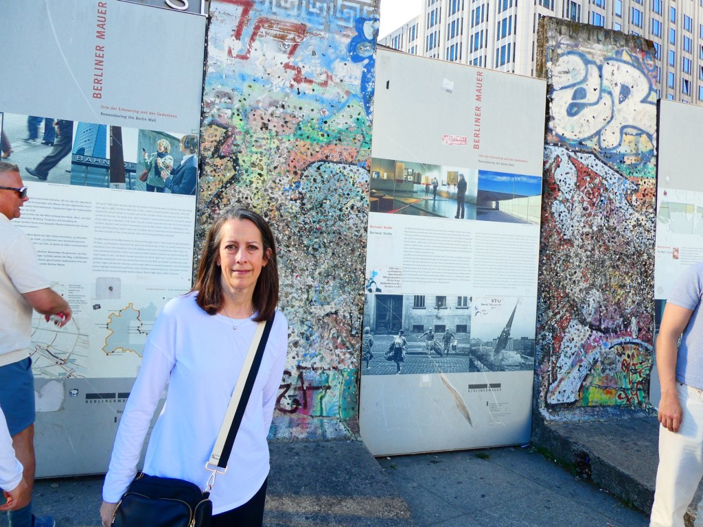
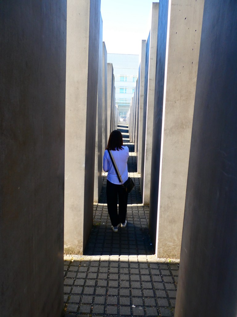
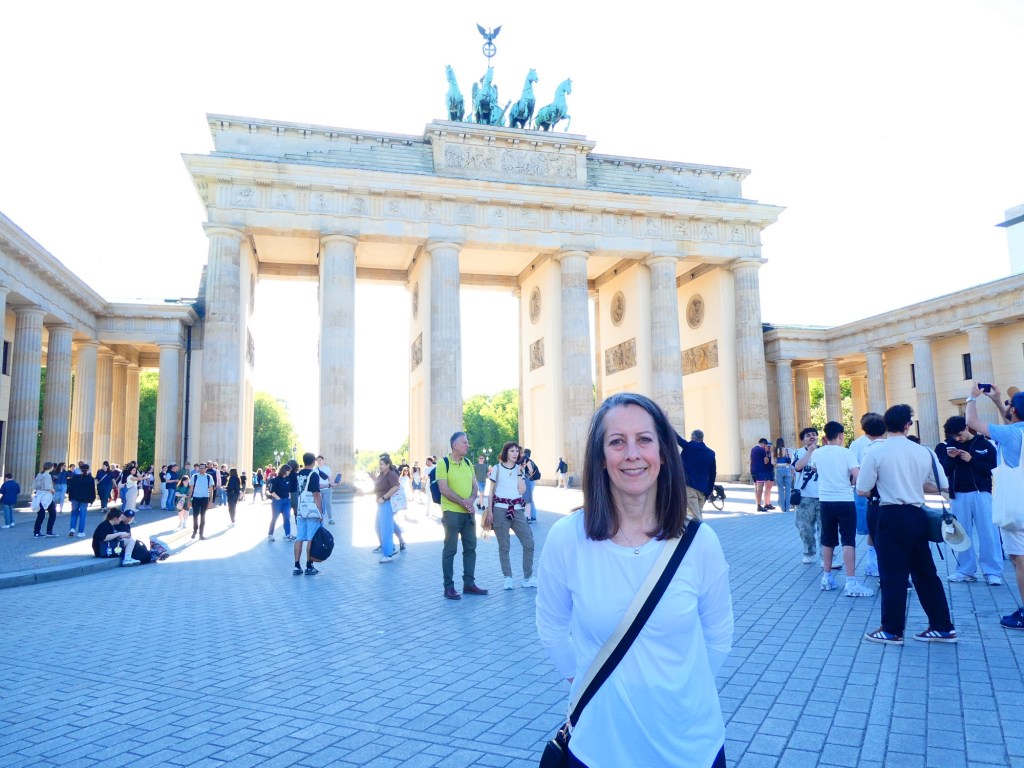
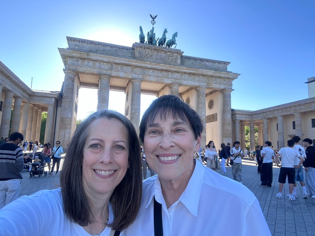
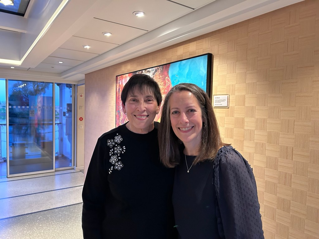
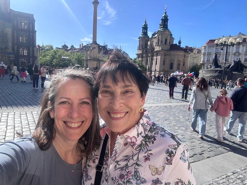
Upon arriving in Berlin, Jen and I walked to the Holocaust Memorial and the Brandenburg Gate. We then had a wonderful dinner at Berta.
We sailed most of the morning from Torgau to Wittenberg. About 7 kilometers from Wittenberg the ship usually spins around and they back into the docking area. Unfortunately the river has grown even more shallow and they could not turn the boat as needed. So we ended up sailing into Wittenberg going forward. This posed no problem for us, but the next cruise will not be cruising, they will be parked here and bused to the sightseeing events. Then half way through the cruise, they will have to pack up and transfer to the boat that is now stuck in Dresden for the rest of their trip. We were so fortunate to not have that happen to us.
Wittenberg currently has a population of about 50,000. It is in the area called Saxony. It has 4 UNESCO World Heritage Sites. Our tour focused on Martin Luther. He was the reformer who changed the religion from the Catholic way of thinking to a more liberal way. The Lutheran Church follows his beliefs.
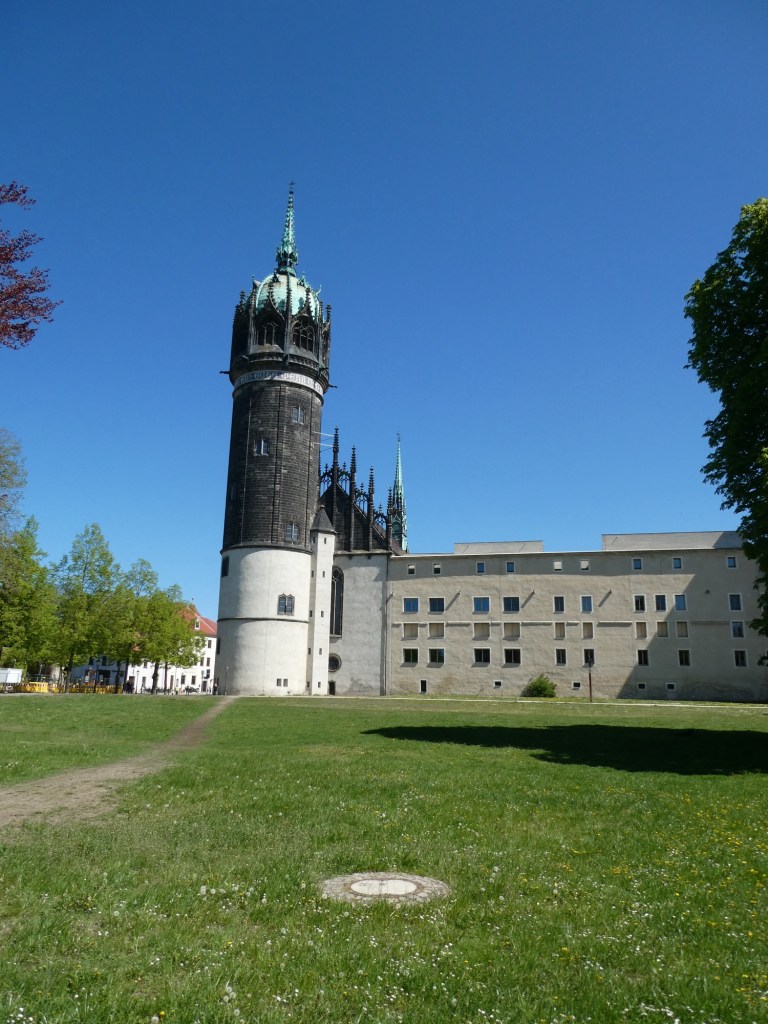
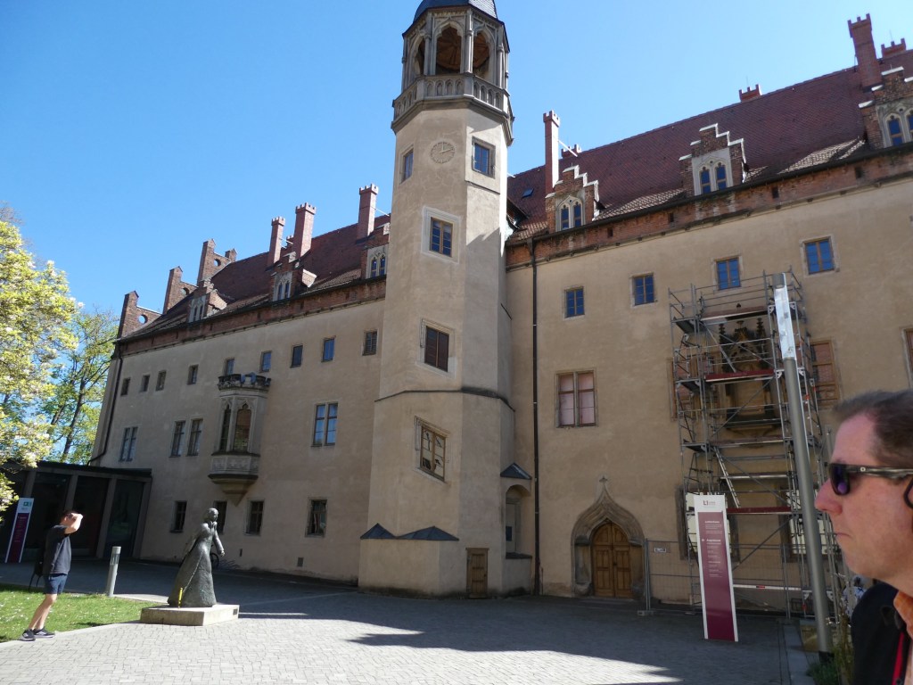
We visited the Castle Church which was built by Frederick III, also called Frederick the Wise. It was built in 1506, with the tower being added in 1842. The large church was built for the exclusive use of the king.
Martin Luther was a monk who came to Wittenberg to become a teacher at the University. He found that he had more ideas about religion and on October 31, 1517 the reformation of the church started with Luther posting on the church doors his 97 treatise. In 1534, the Luther bible was printed, which was a translation of the bible of the times into what became the current German language.
He eventually marries a woman named Katharina who was a nun. He helped her and 11 other nuns escape from their house. He married her because she was very smart. They had a home in which they housed students. They also fed the poor and had 6 children. Every year in June, Luther and Katharina had a marriage ceremony.
There is a garden in his name with 500 trees from around the world. His symbol is the Luther rose and the town has Luther bread.
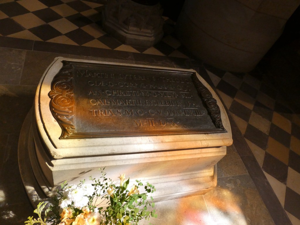
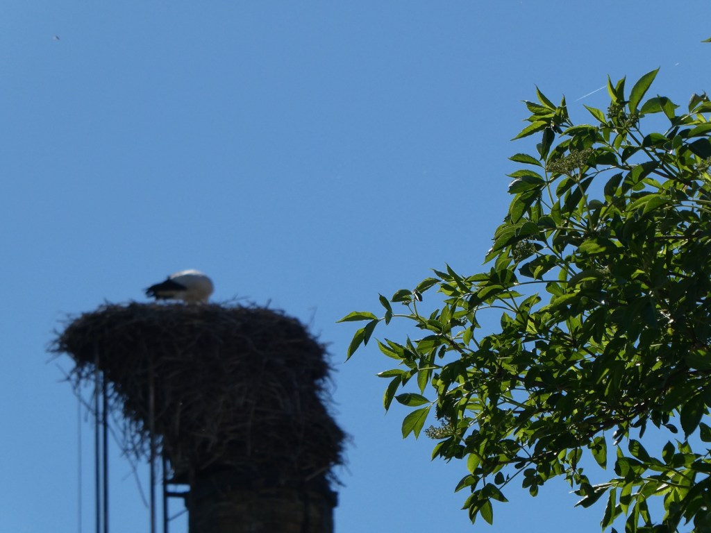
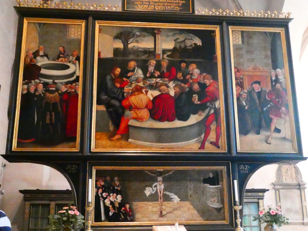
Martin Luther’s graveMartin Luther houseA stork in its nestAltar piece in St. Mary Church
After our tour we stopped at a beer garden and then Jen and I and 2 others walked back to the ship. Fortunately Jen had an airtag in her suitcase which allowed us to follow the signal back to our boat.
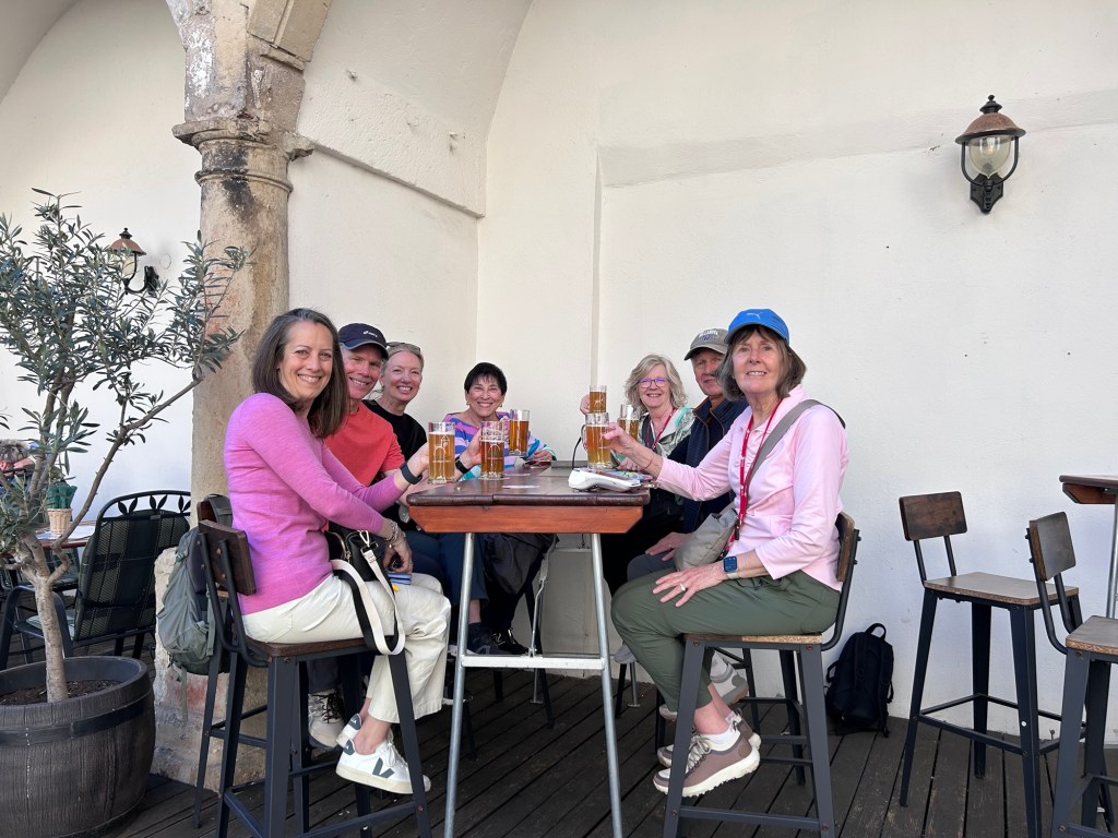
Jen, John, Linda, Bette, Nancy, Jack and AnnOur last night on the boat
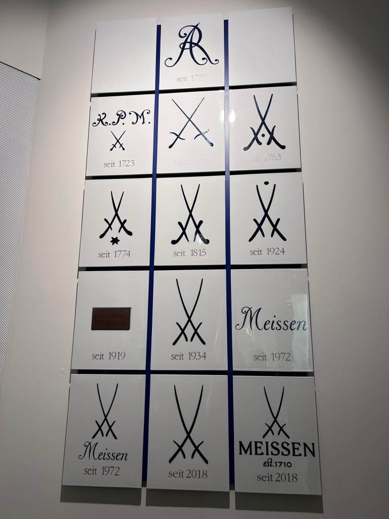
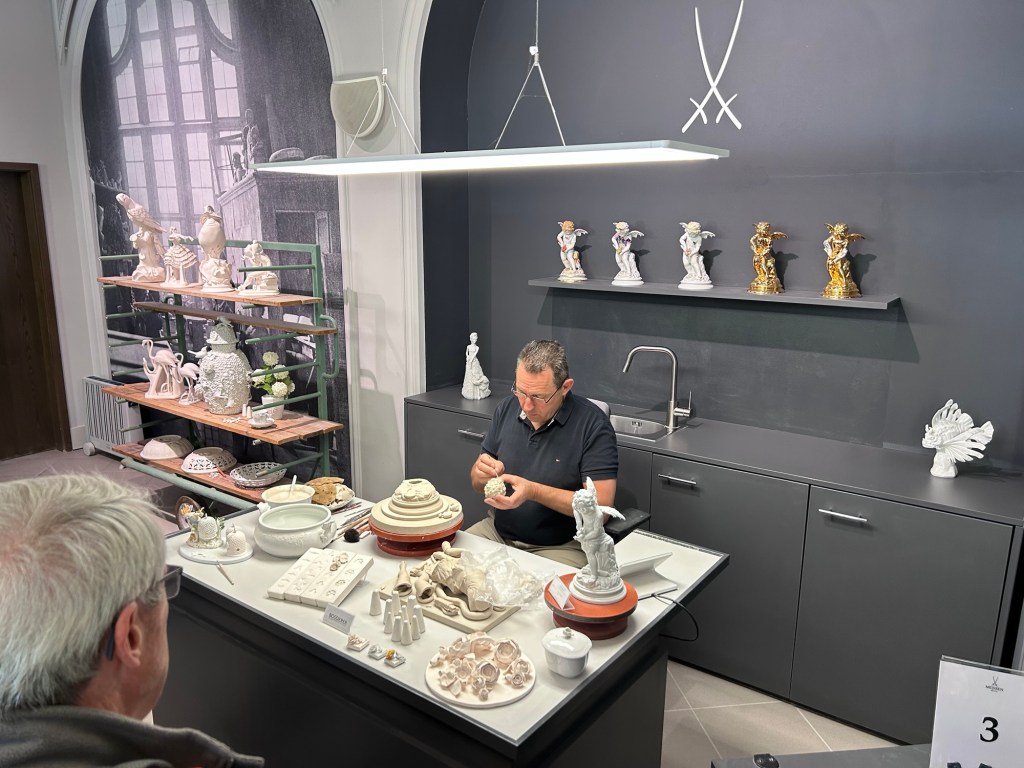
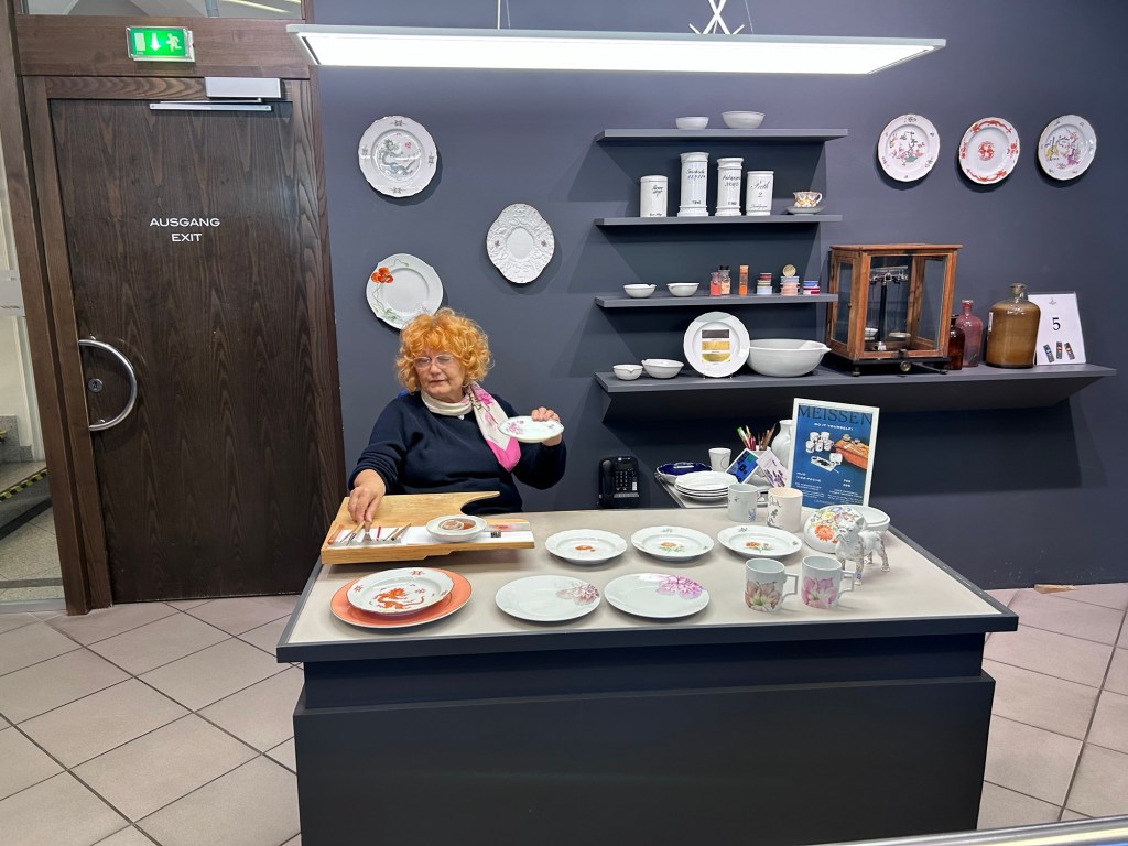
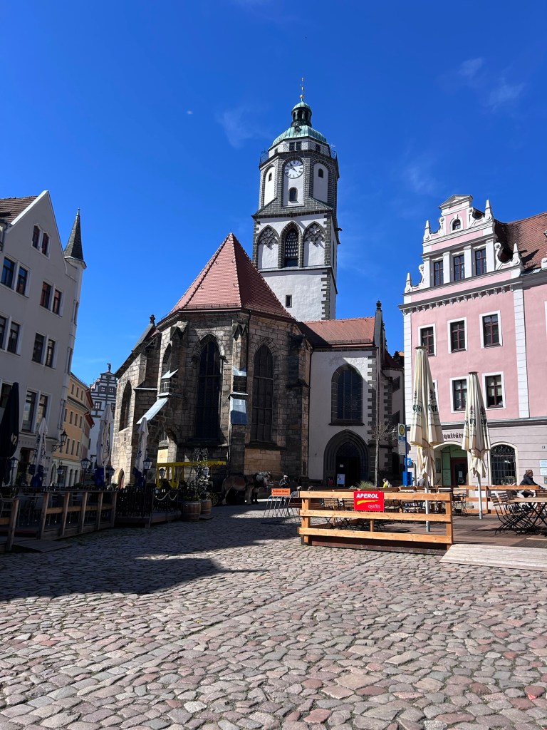
We spent the morning in the town of Meissen. Meissen was settled in 959 by Slavic people. It is most well known for the production of fine porcelain china and other objects.
August the Strong had seen the porcelain coming from China in the late 1600s and being a collector of fine art objects wanted more. Some men in Meissen were experimenting and discovered the way to make porcelain. August the Strong employed them and the production of porcelain began in Meissen.
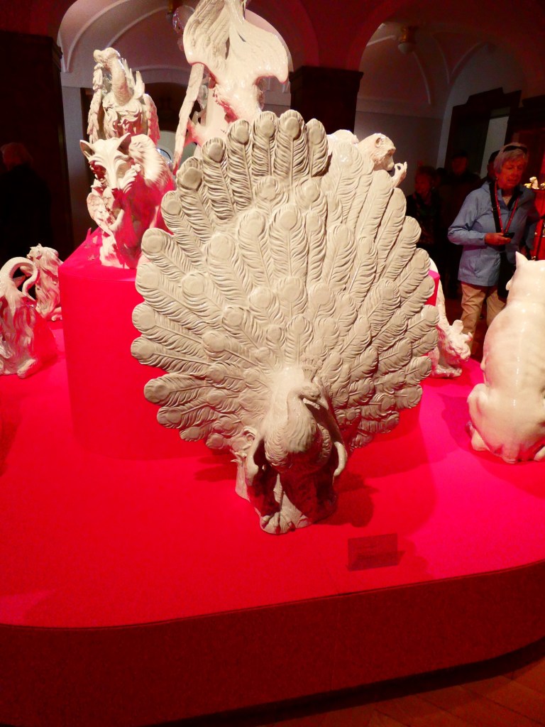
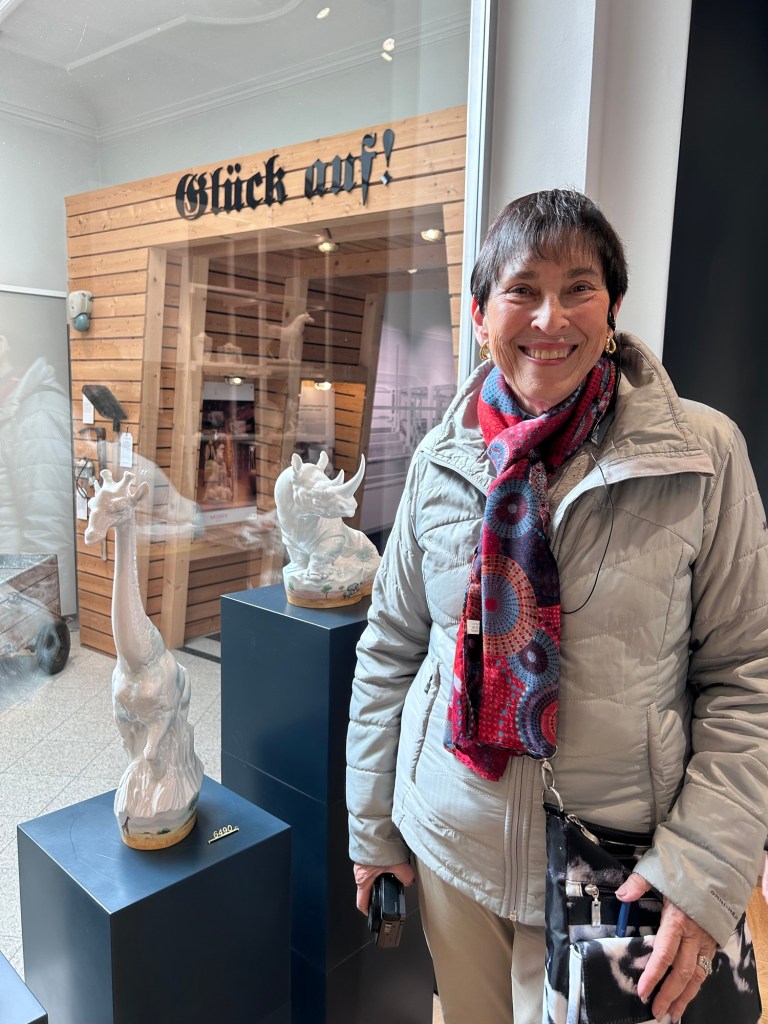
The original factory dates back to 1710. We toured the porcelain museum and learned how the porcelain is actually made. The museum pieces were amazing to see. They have over 10,000 molds and can remake items that were first produced hundreds of years ago.
The giraffe we did not buy, price around $8,000
After the museum and factory tour we toured the town of Meissen.
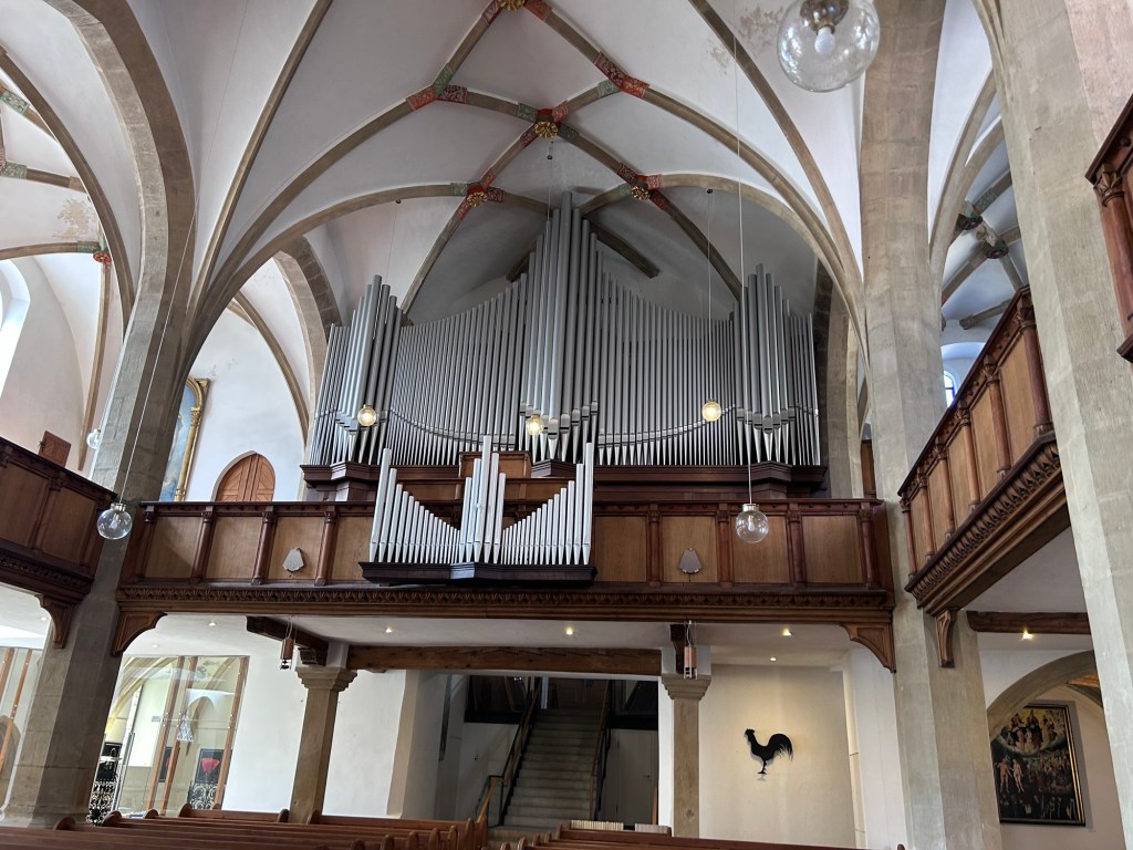
An organ with Meissen pipes
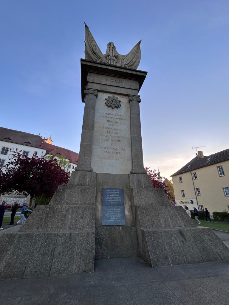
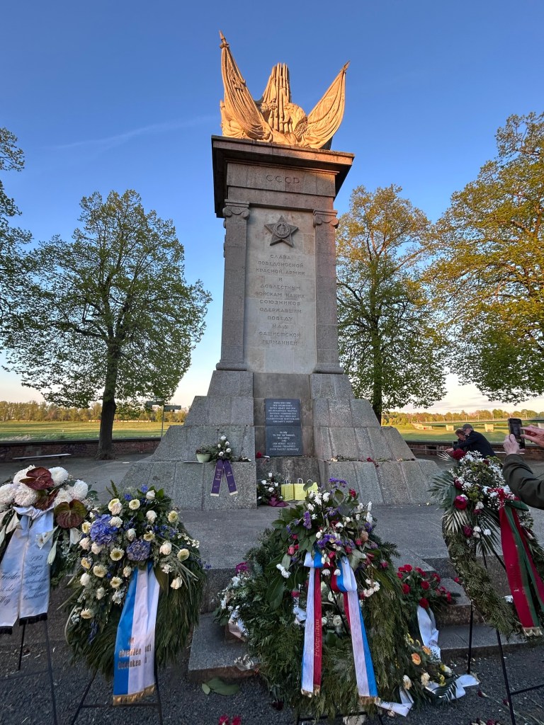
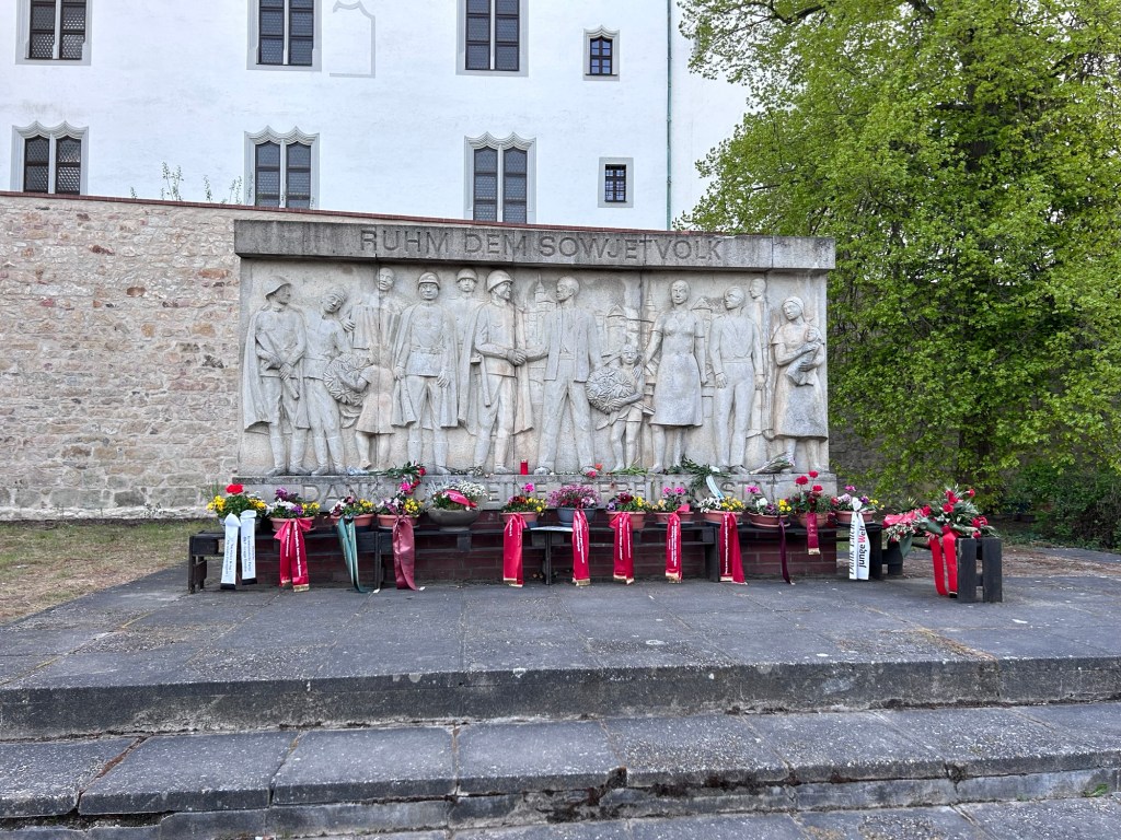
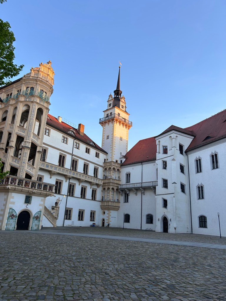
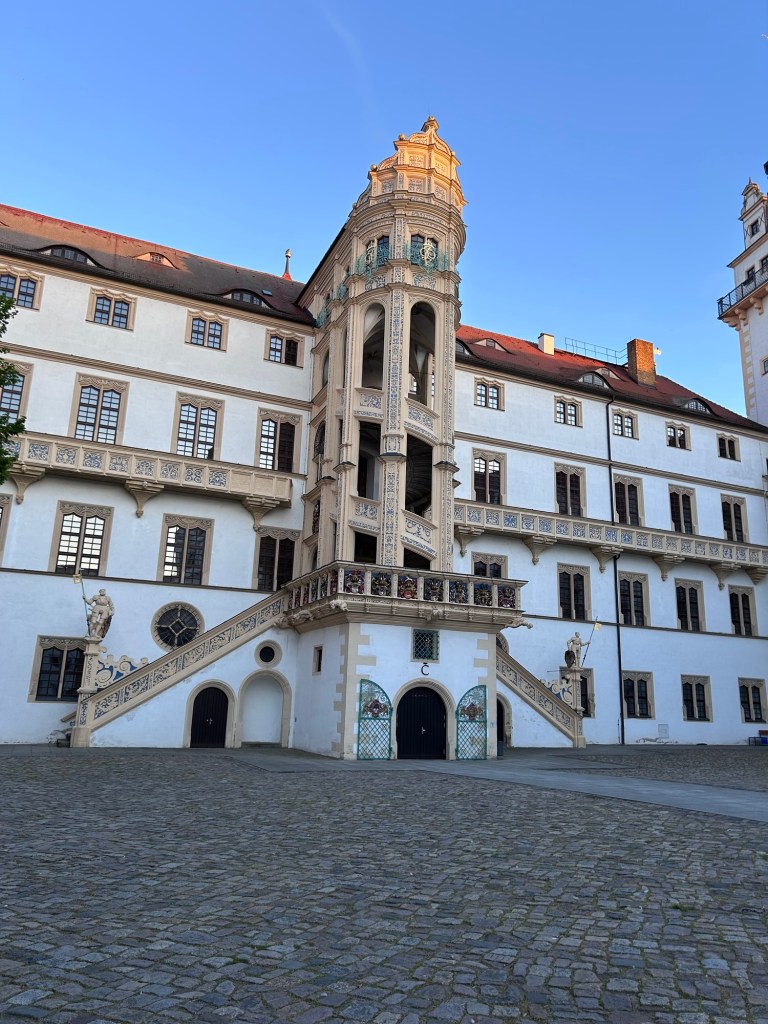
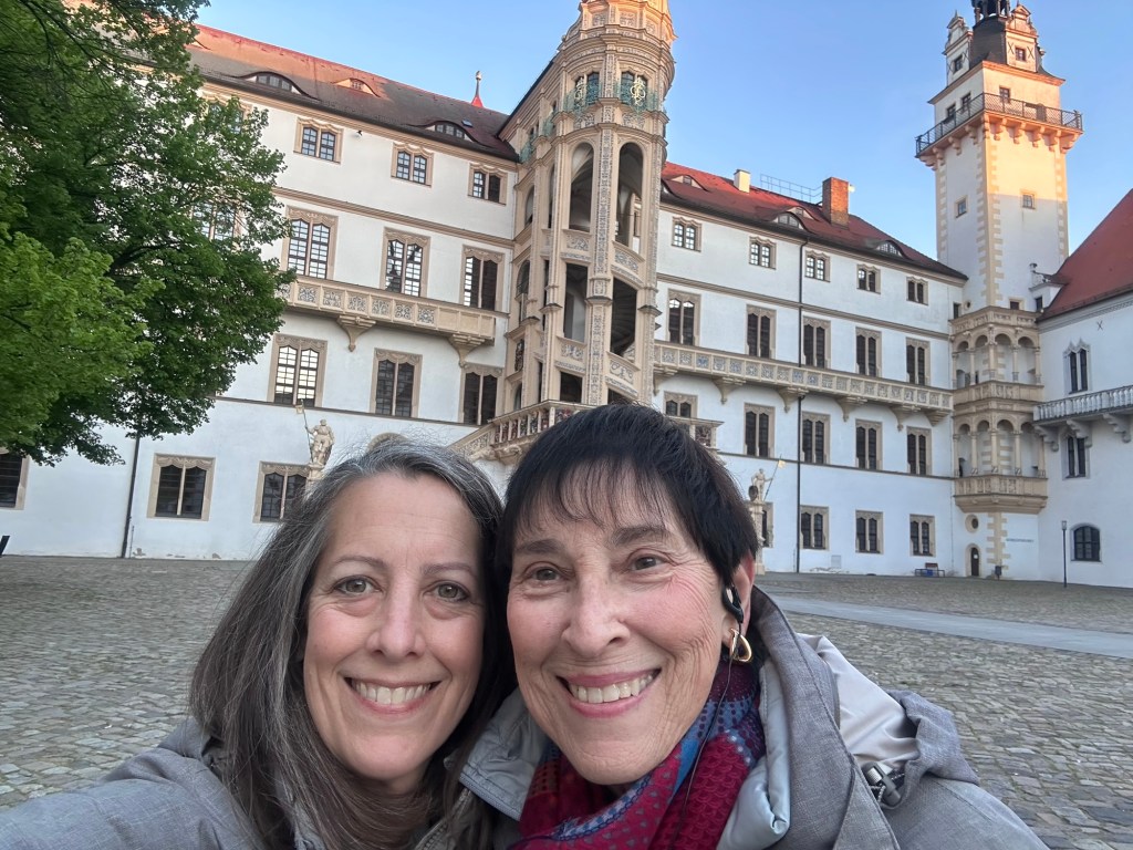
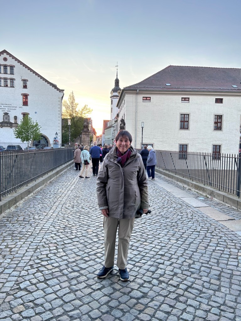
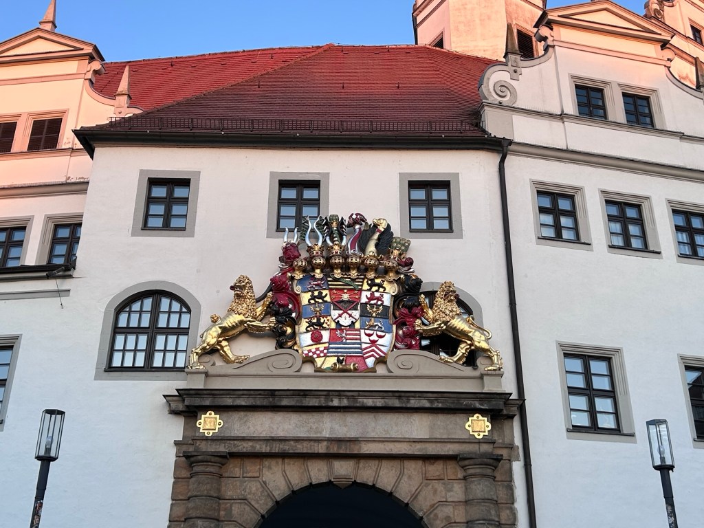
We sailed most of the afternoon and docked for the night in Torgau. At the end of the 2nd World War this town was freed by the American army, but the next day the Soviet army came in. The Soviets claimed they had liberated the town and the Americans let them say that. There was a famous photo taken of the two sides shaking hands here. We saw the memorials to this. April 25 was the anniversary and the memorial was covered with wreaths. Of course there is a castle here, so we walked through it. Our walk was after dinner.
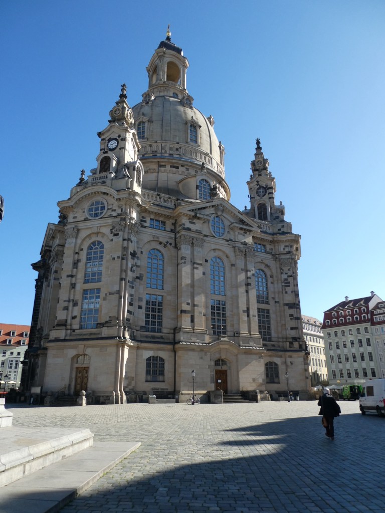
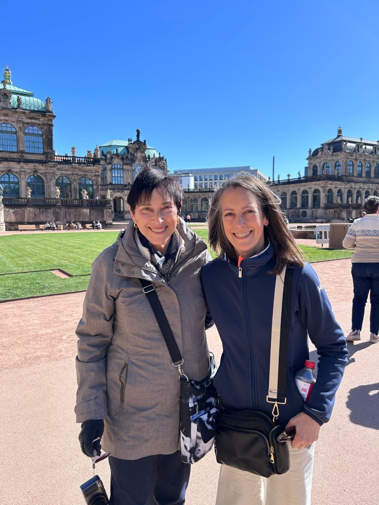
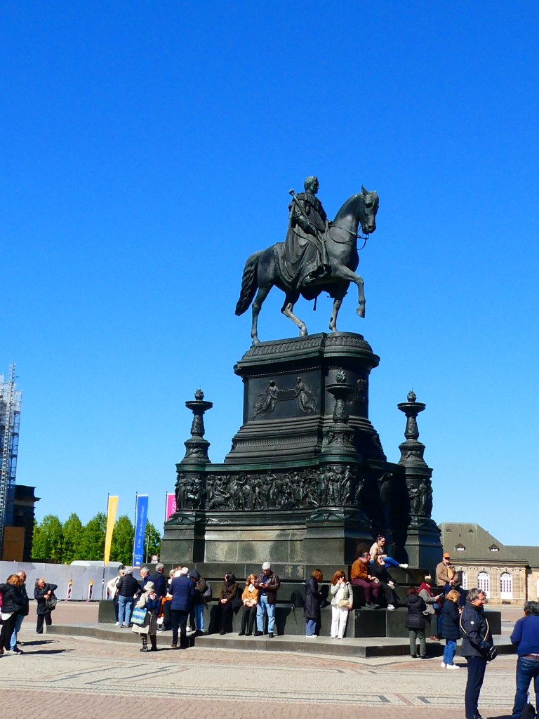
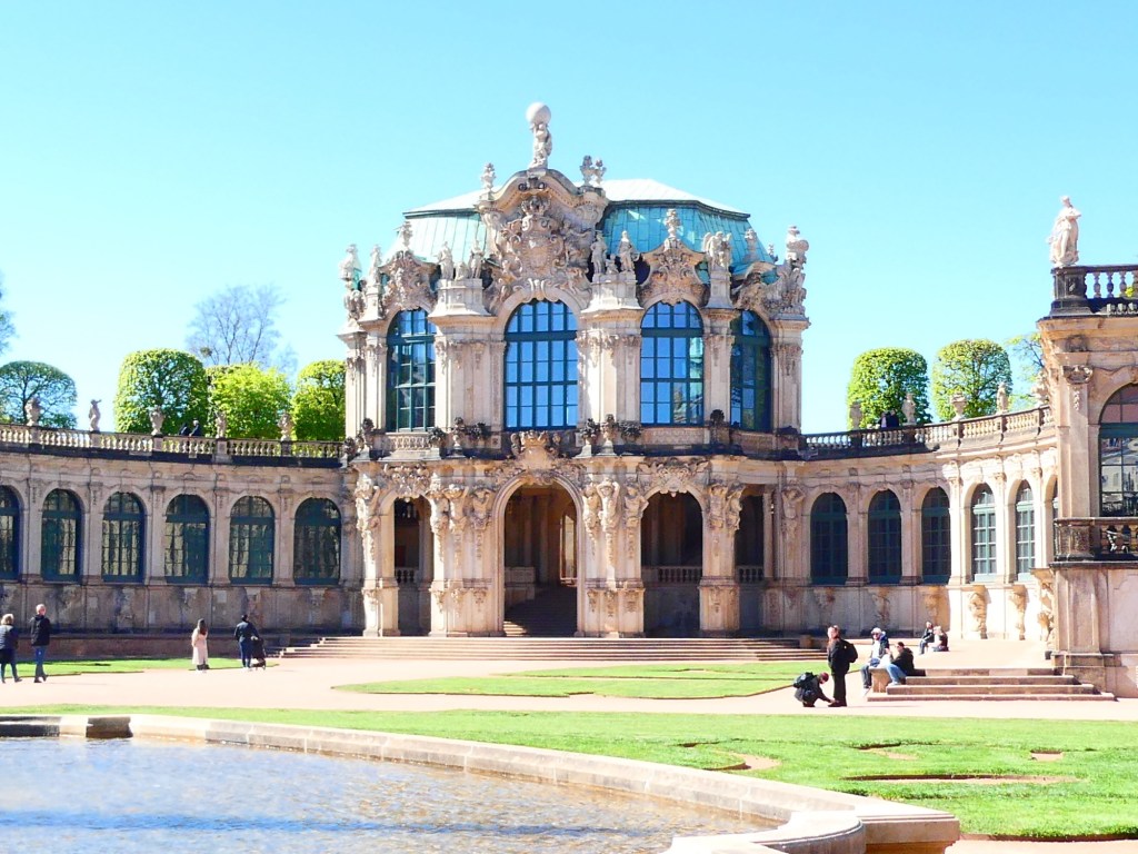
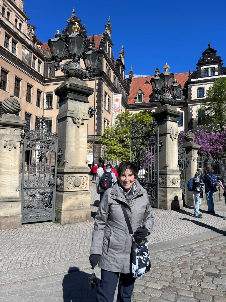
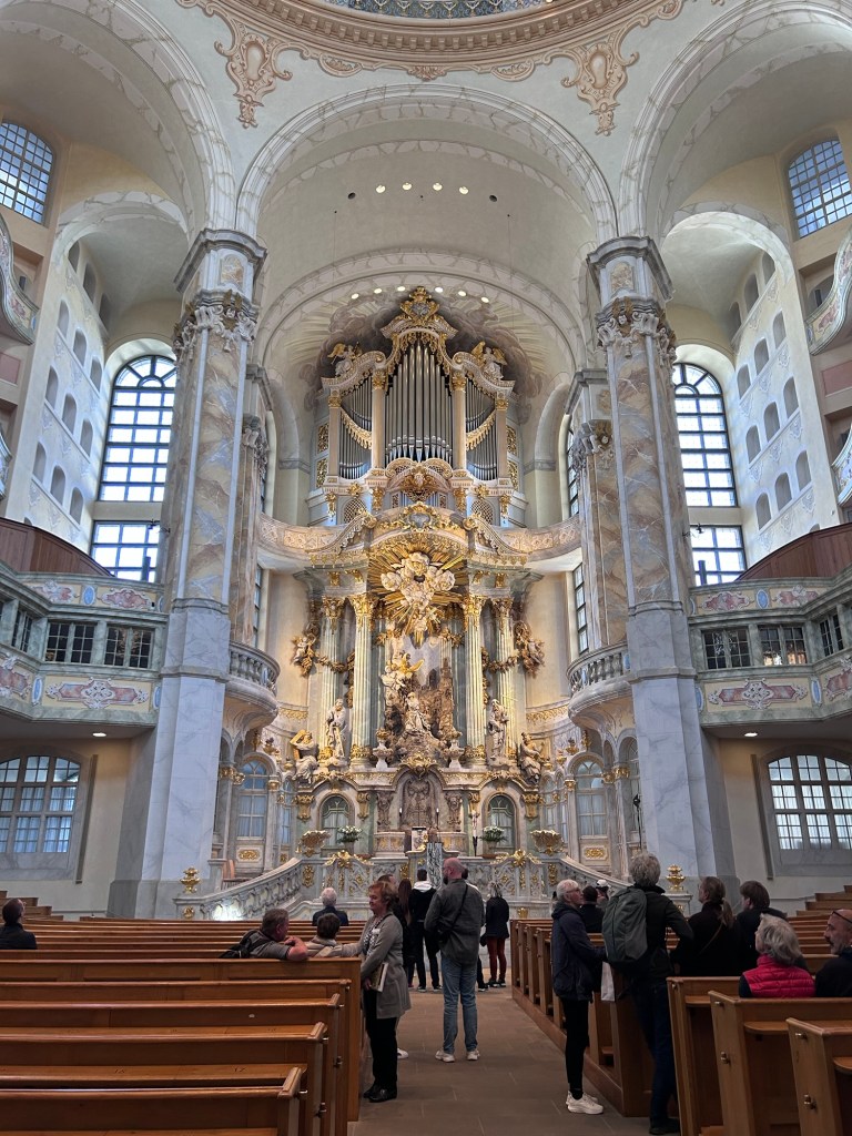
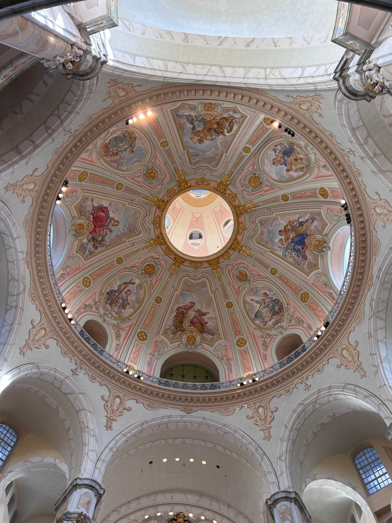
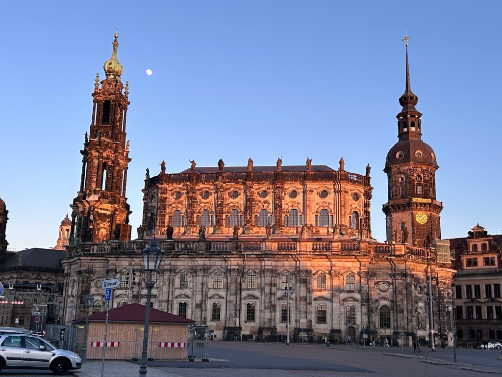
We had an all day tour today. We started with a walking tour in the center of Dresden. Dresden has a population of just over 1/2 million people. It was bombed very badly during the 2nd World War. Today they have rebuilt the center of town to look like the historic buildings looked. Fortunately there was an artist who painted Dresden in the height of its grandeur and they were able to recreate the buildings. It has taken many decades. The central square where we started has the Opera House, many of the buildings called Zwinger and beautiful squares. In 1956 Dresden celebrated its 750th anniversary. We saw the outside of the big church, being too early in the morning to go inside but learned about how it was destroyed during the war.
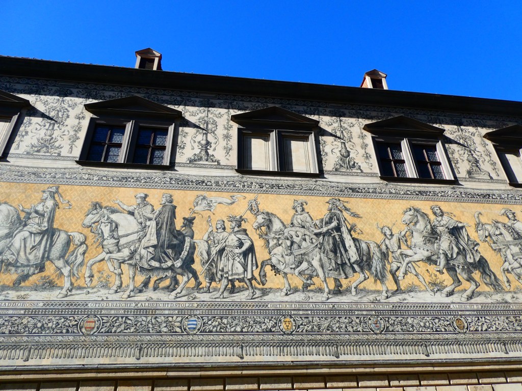
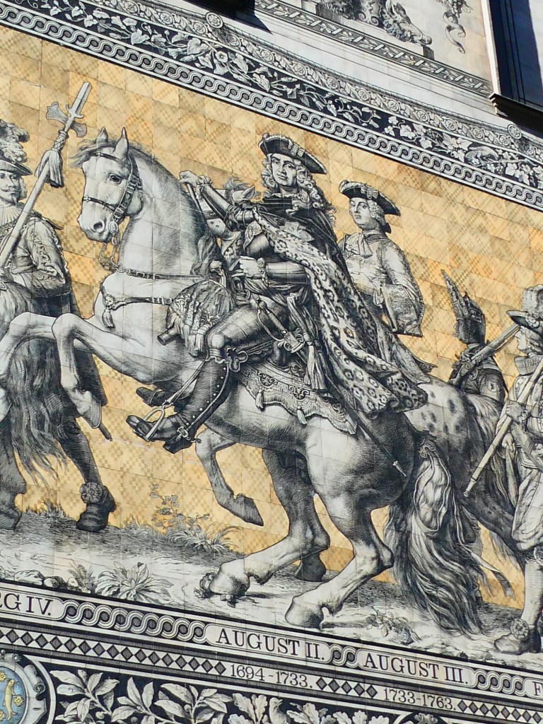
We then walked by a mosaic from 1876 depicting all the Saxon kings from the beginning of the reign through the date the mosaic was made. It is porcelain and probably 100 or more feet long.
A section of the mosaicAugust the Strong
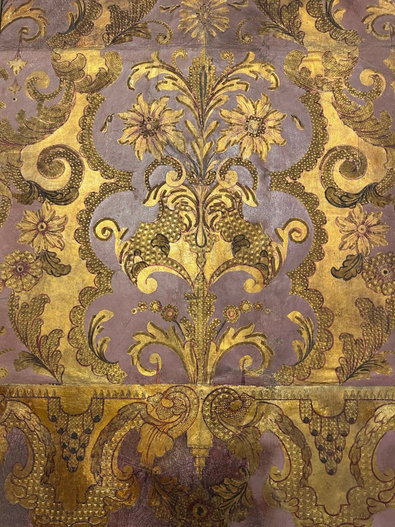
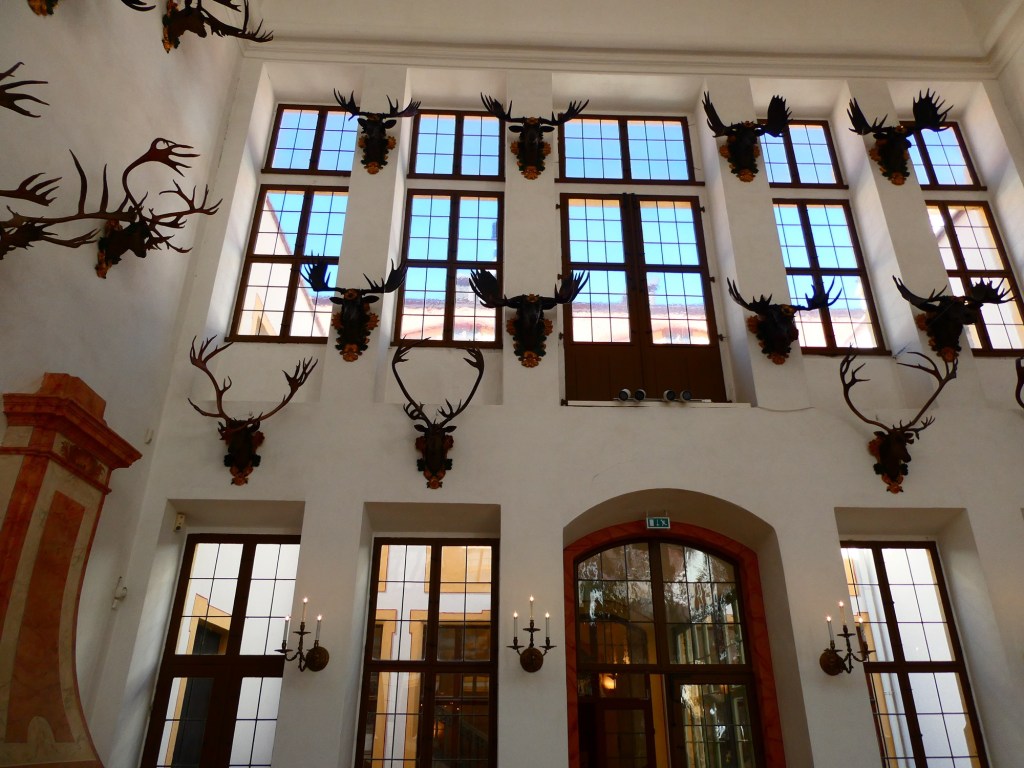
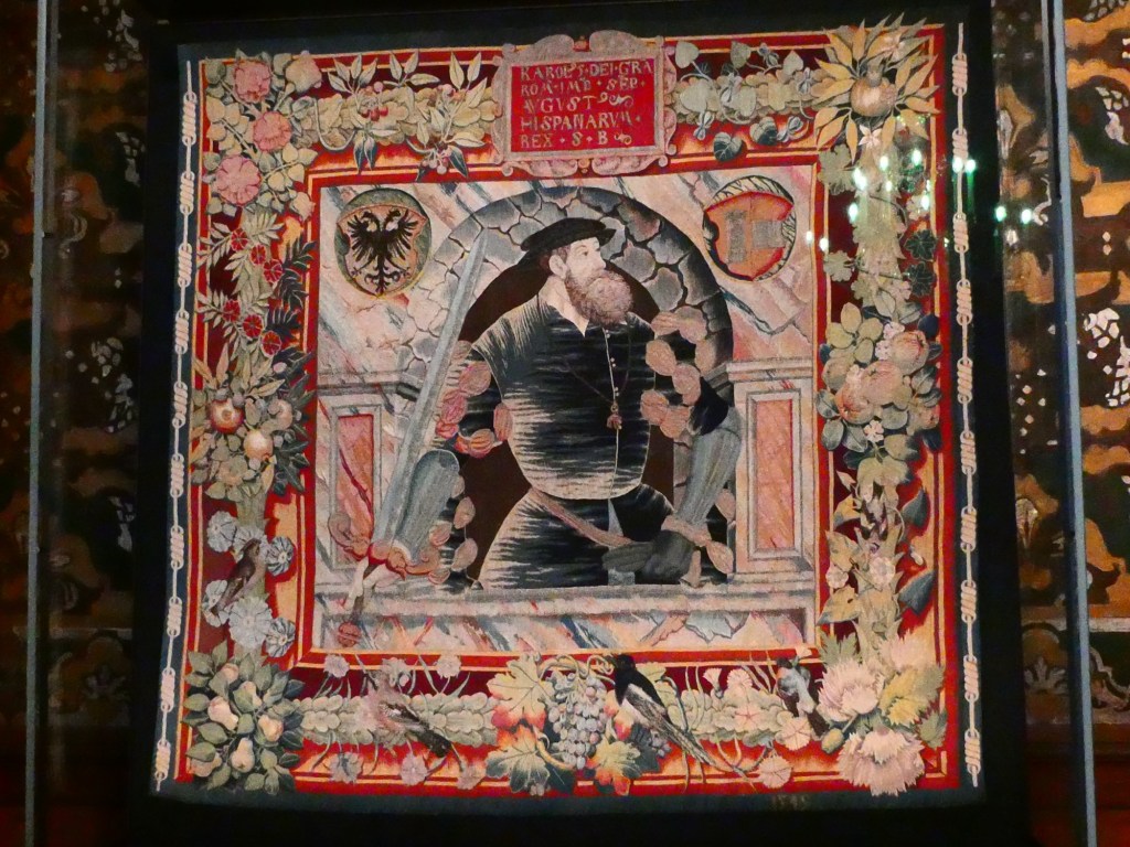
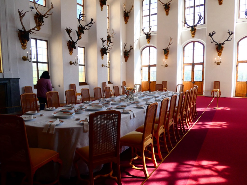
We then left the city and went out to a hunting lodge of August the Strong in Moritzberg. The entry rooms were filled with the antlers of the stags that had been hunted. The antlers were on wooden heads of the animals, not real heads preserved by taxidermy. When we got into the living quarters we found out that all the walls were covered in leather. Some were like tapestry wall hangings, but other areas it was like wallpaper. We also saw an explanation of how these leather pieces were made and now preserved. The castle has 220 rooms and has 2 manmade lakes on either side made 600 years ago.
The leather wallpaper
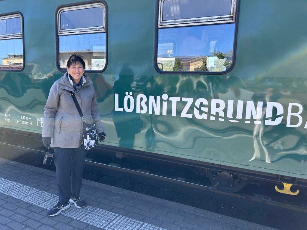
We then went by small gauge steam train to the next town for lunch at a winery.
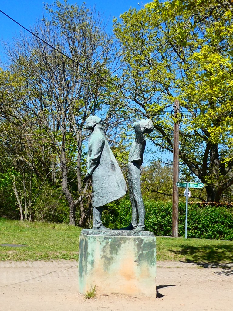
A statue outside the local planetarium
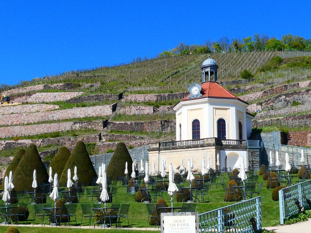
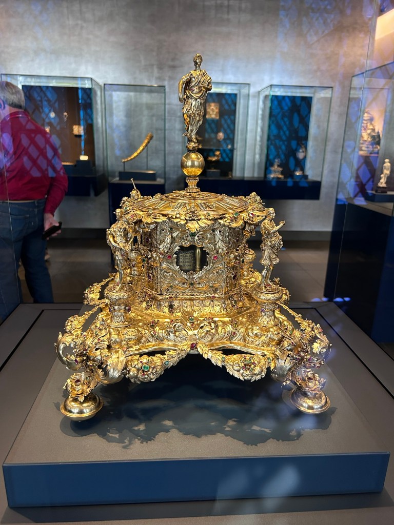
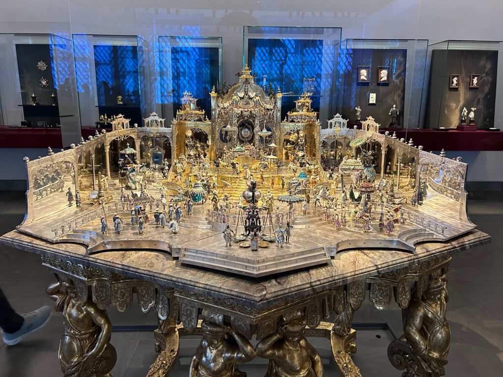
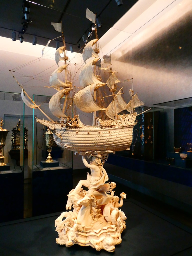
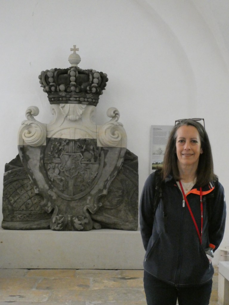
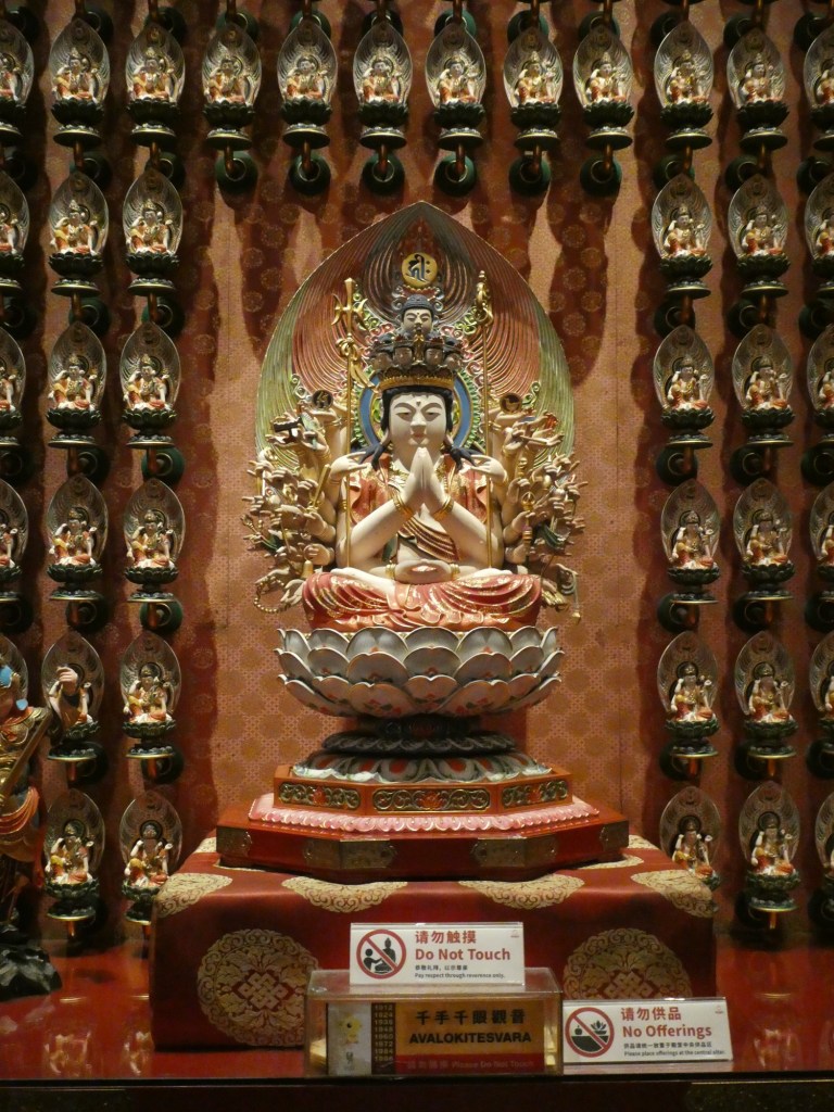
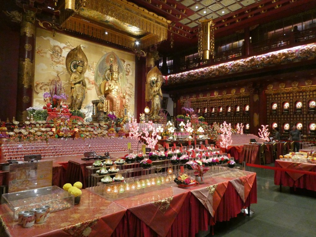
After lunch we returned to Dresden for the highlight of the day, the Green Vault in the Zwinger Palace. This area had the beautiful treasures collected by August the Strong, we saw the gold, silver, gemstone and ivory collection. The items were exquisite. We were told that all of these treasures had been taken to the Soviet Union during the war, but had been returned after the war ended and Dresden had been rebuilt.
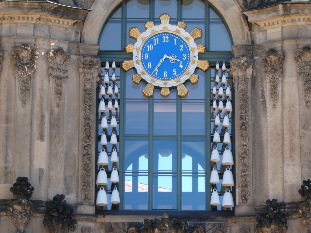
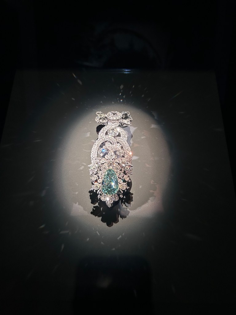
Meissen bells The outside of the room we had gone to for the concert the evening beforeThe famous 40 carat blue diamond
Before returning to our boat we were able to go into the church we only saw the outside of in the morning.
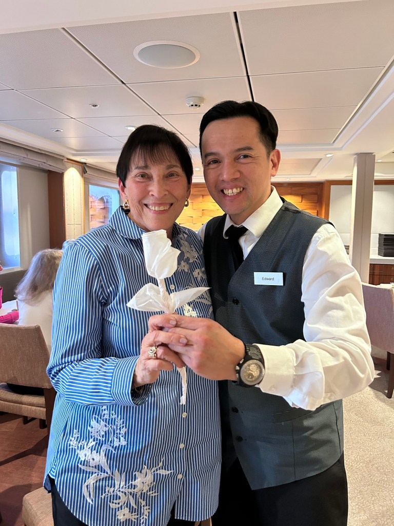
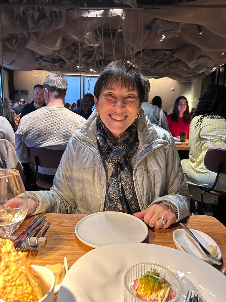
As if this was not enough of a day, Jennifer had arranged for a cake at dinner to celebrate my 80th birthday. Our waiter Edward made me a rose from a paper napkin. It was truly a lovely day.
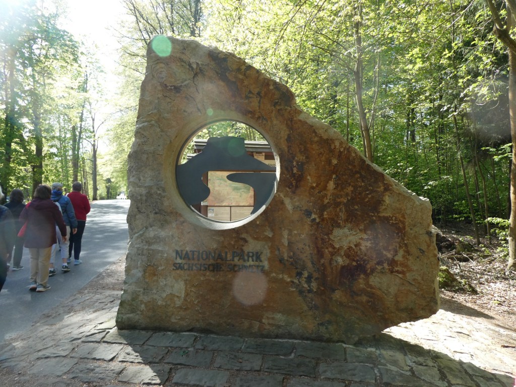
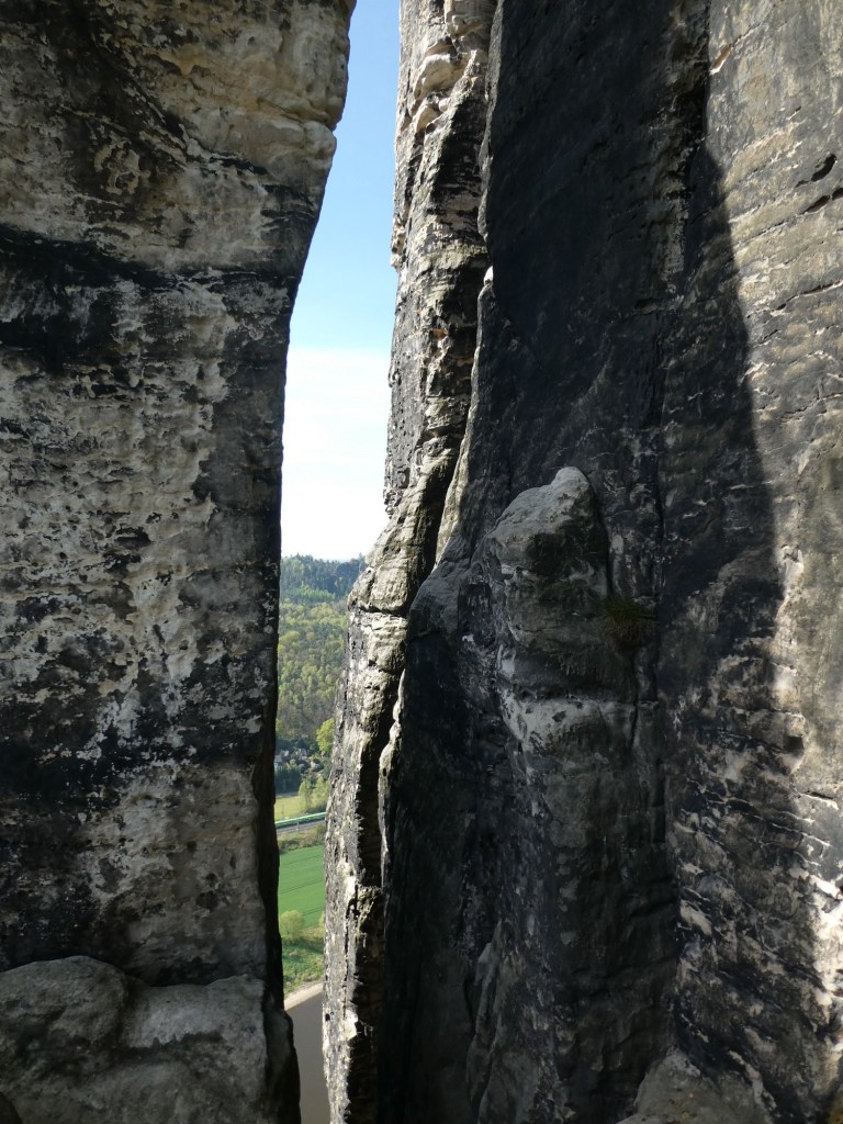
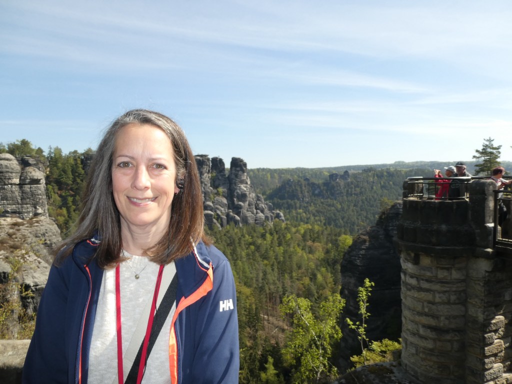
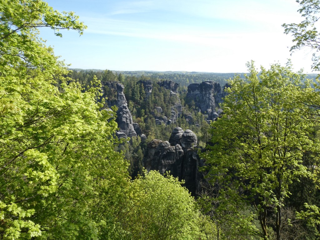
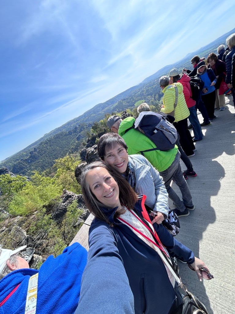
We started a morning tour to Bastei, a famous rock formation. This area is in the Elbe Sandstone Mountains which are millions of years old. The area had sediment from when this land was covered by an ocean and then the land was eroded. The sandstone is yellow in color. This area is also called Saxon Switzerland, called this because of its beautiful landscape. It is within a national park with 30% in the Czech Republic and 70% in Germany. This area is known for its hiking and rock climbing.
We started by walking to an observation platform. We were able to see the various rock formations and the valleys. Then we climbed down to cross the famous stone bridge. We went to several other view points before returning to our bus and then the ship.
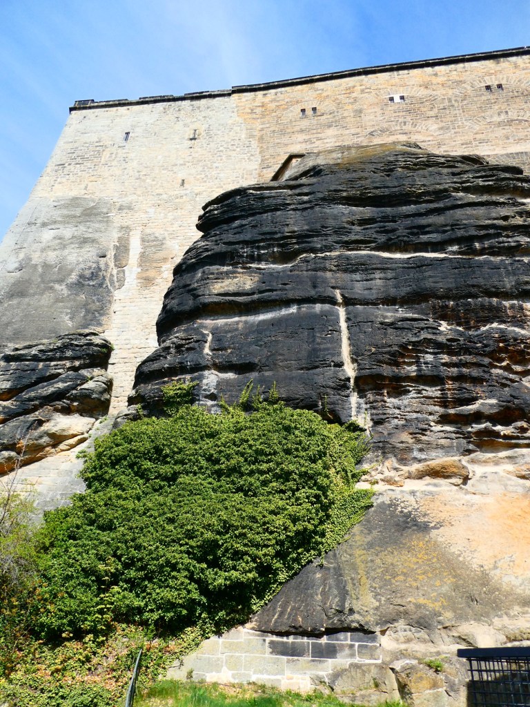
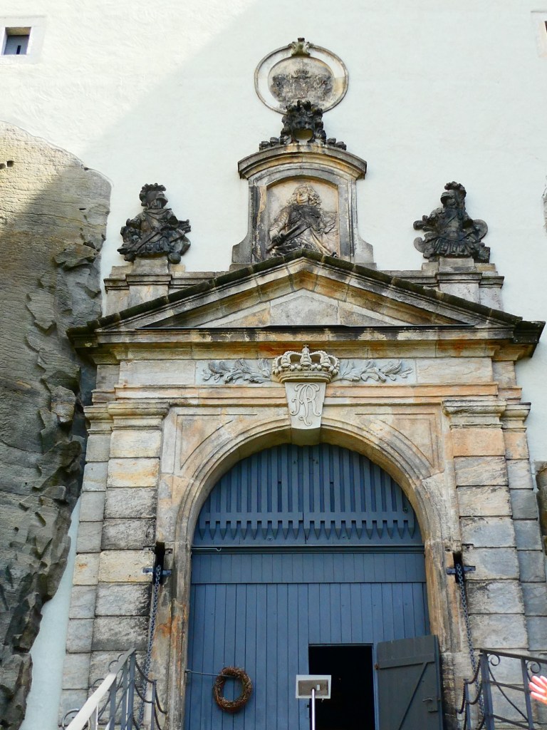
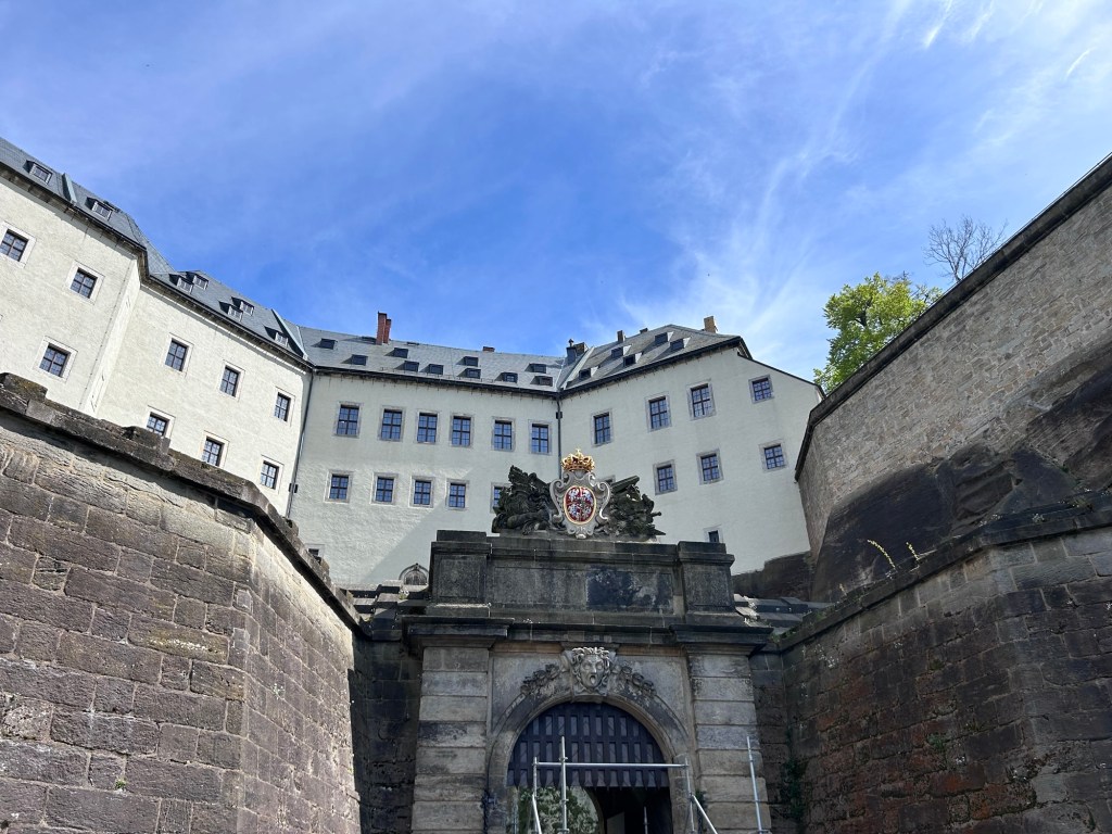
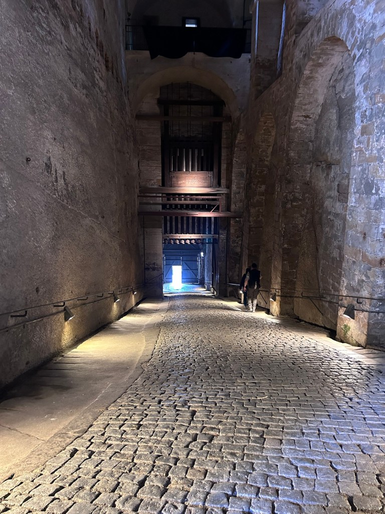
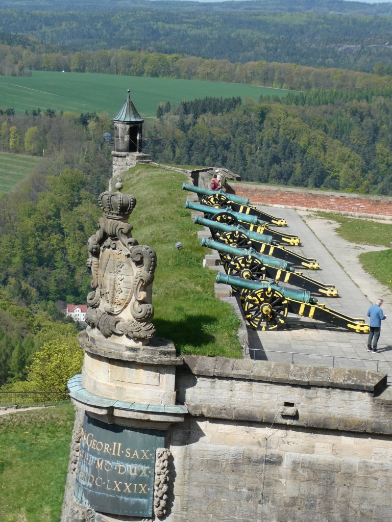
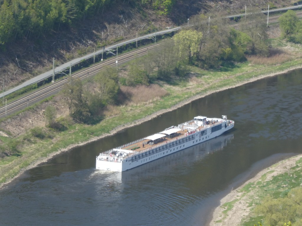
After lunch at the ship we went to a fortress called Königstein. Here we had to climb up the ramps into the fortress/castle. This was our first introduction to August the Strong, the ruling king of this region. He was very progressive and collected art and other things as well as building beautiful palaces all over the Saxony region. We toured the various buildings and squares. This was the first castle built by a Bohemian king. It has the deepest well in Germany. At one lookout over the Elbe River we saw our ship sailing between Bad Schandau and Dresden. It was used as a fortress until 1913, but now is a museum. It was never conquered and had the ability to store enough food for 1.5 years.
August the Strong’s crestLooking up to the fortress at the topLooking down the ramp we climbed to get to the top of the hill and into the fortress
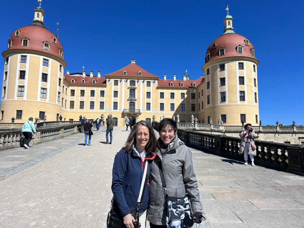
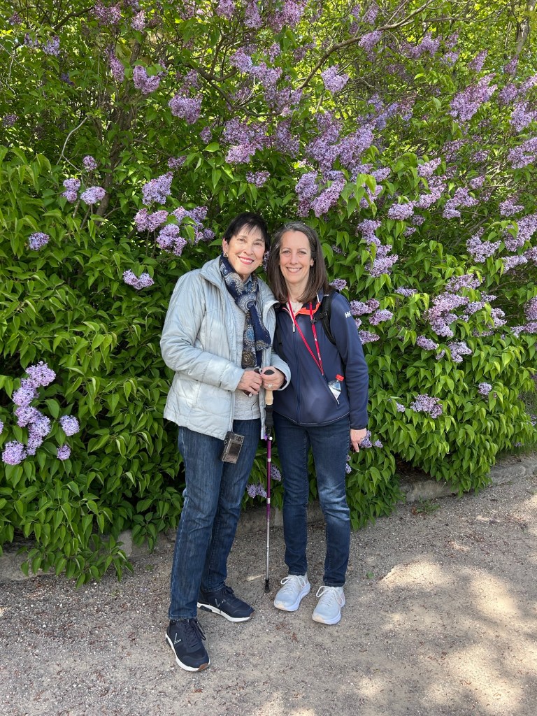
Then before reaching Dresden we stopped at another palace of August the Strong to see the beautiful gardens.
One wing of this palace
After dinner we went to a classical music concert in the Zwinger Palace in Dresden. We got to see the buildings lit in the main museum square. It was a beautiful evening and the music fantastic.
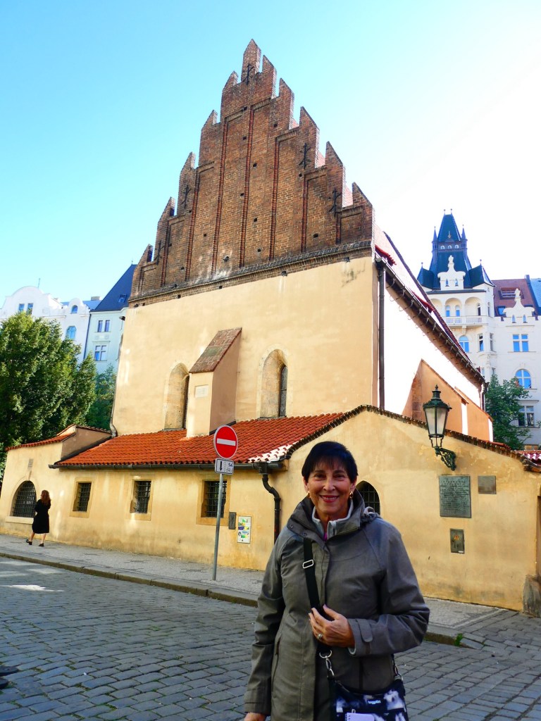
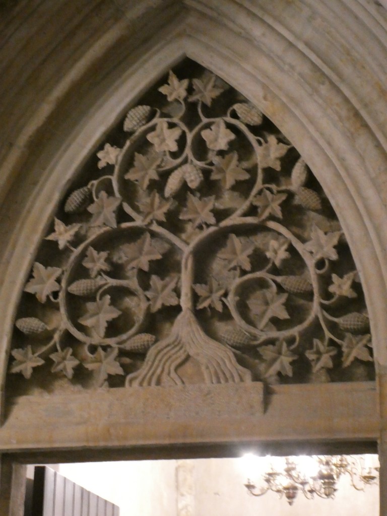
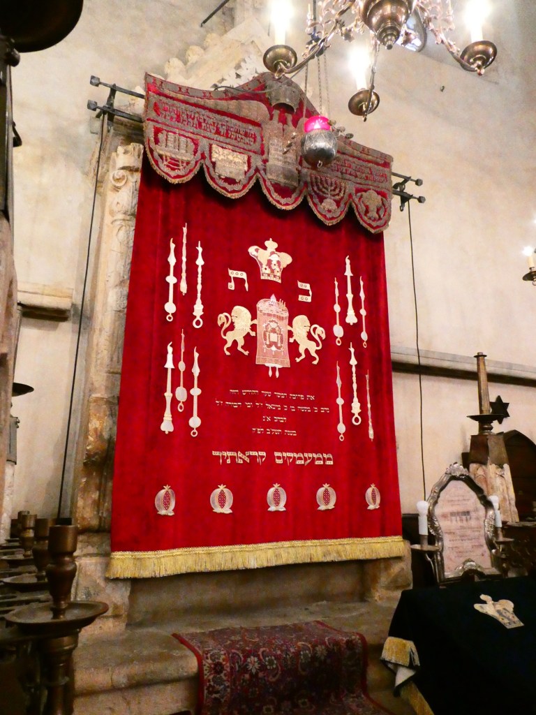
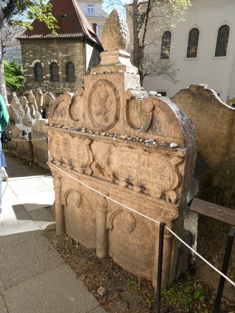
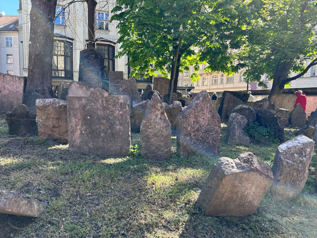
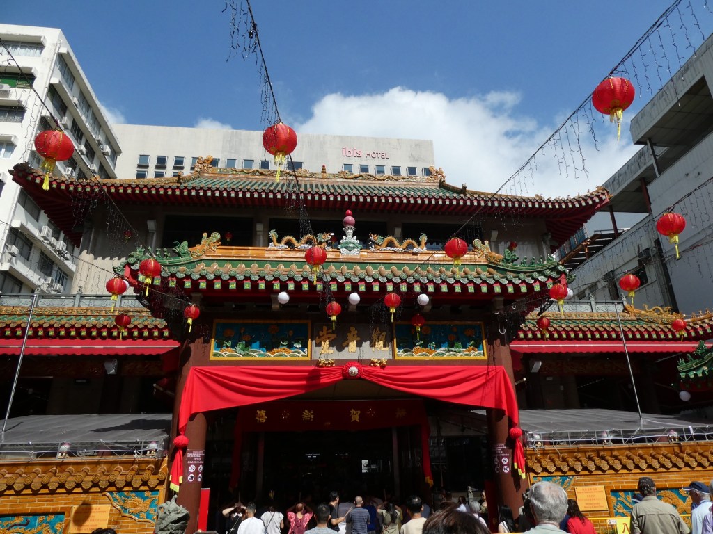
We had a morning walking tour of the Jewish quarter in Prague. The Jewish ghetto was established in the 14th century. We visited 4 synagogues but only 2 are currently in use as a religious building. The Old New Synagogue dates back to 1270.
The Jewish museum which is actually the various synagogues and cemetery was closed during the Soviet occupation of Czechoslovakia around 1968. After the reunification it was reopened around 1994.
The cemetery is 350 years old and our guide told us that there are 12 layers of graves. We saw many headstones but most were so old and worn no names or dates were visible.
When we returned to the hotel, we got on buses to be transferred to our ship in Decín. However when we got to Decín we kept going. Apparently the river is too low for our boat to get here so we were bused to the next port (only 15 miles) to get to our boat.
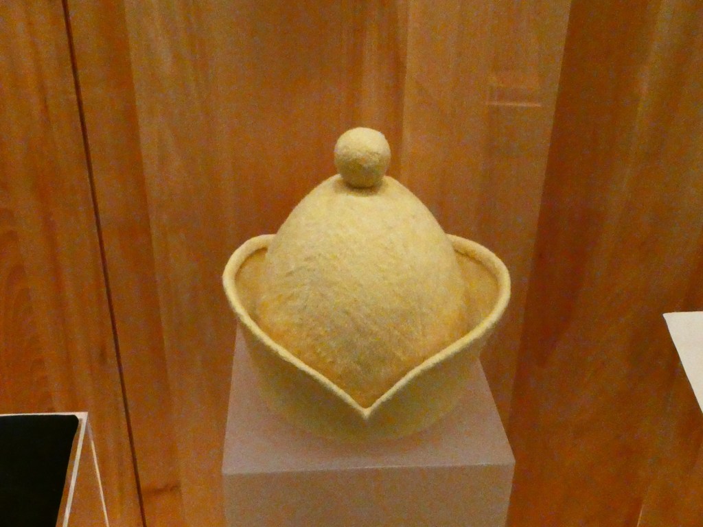
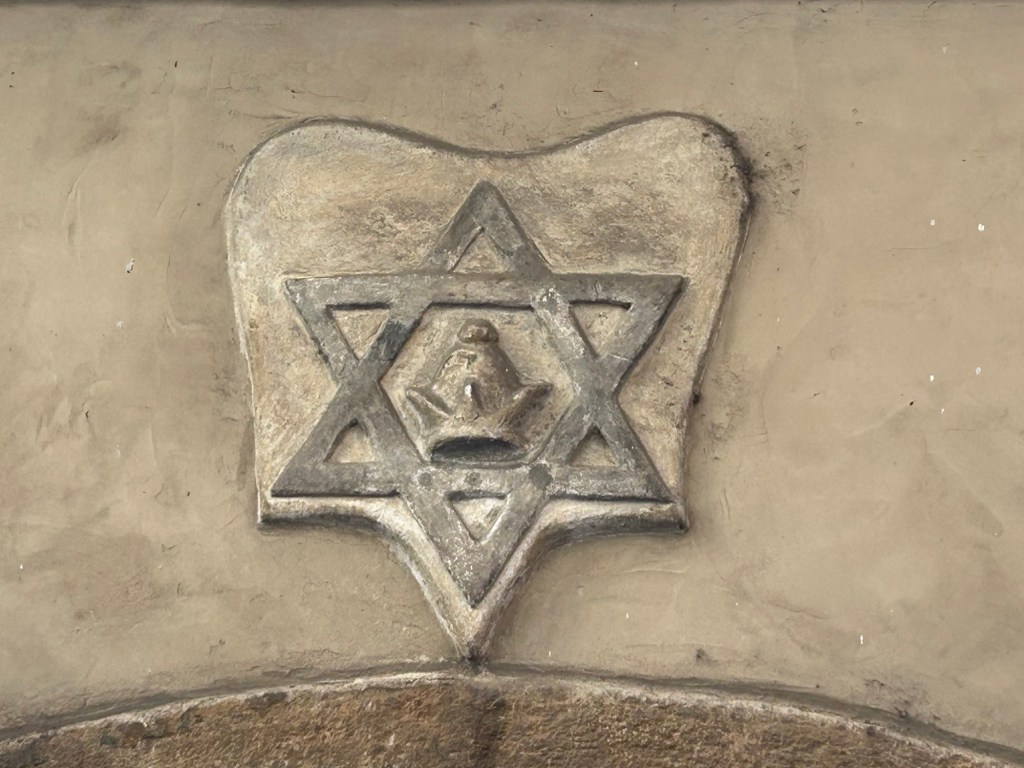
The Old New Synagogue When Jews left the ghetto they had to wear this yellow hatAt one of the synagogues, the Star of David with the hat insideThe Meiser Synagogue The Spanish Synagogue
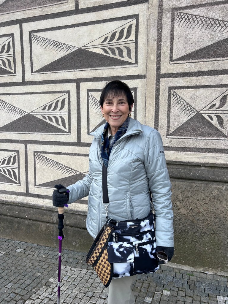
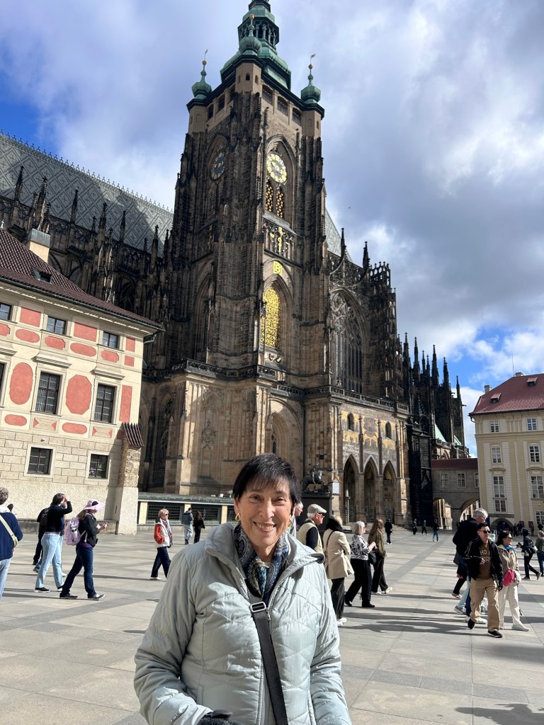
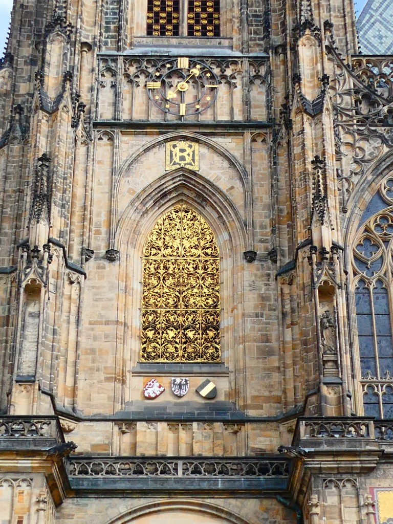
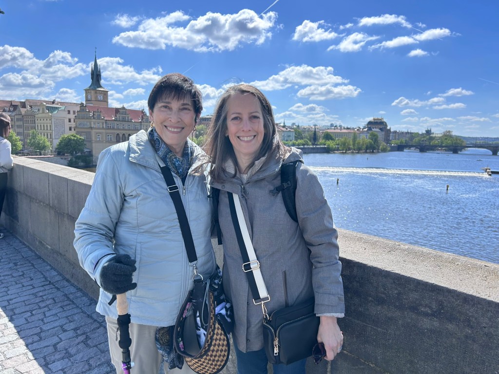
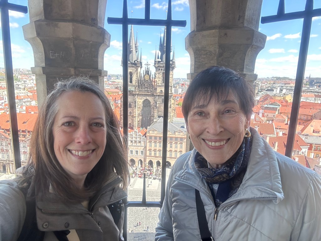
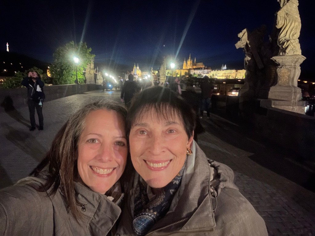
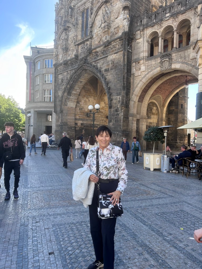
We had a walking tour in the morning provided by our tour company, Viking. We started at the top of the castle hill and toured that area. Prague Castle is the largest in the world, composed of many different buildings and covers 80,000 square meters. Then we walked down the hill stopping to try chocolate at a famous shop. We crossed the Charles Bridge learning its history.
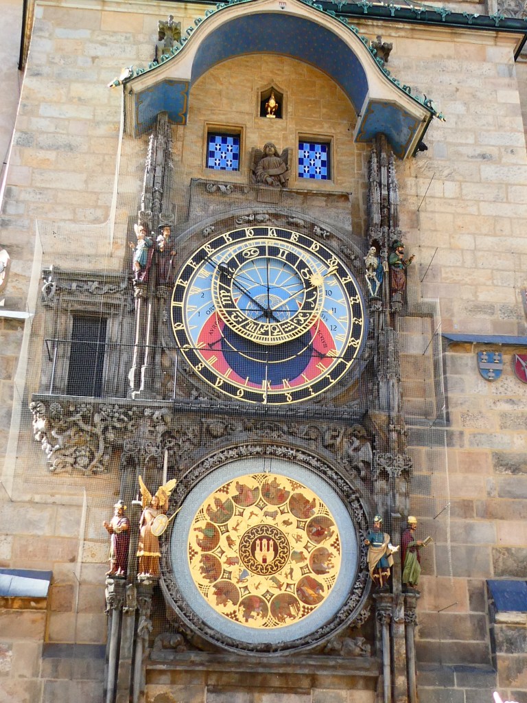
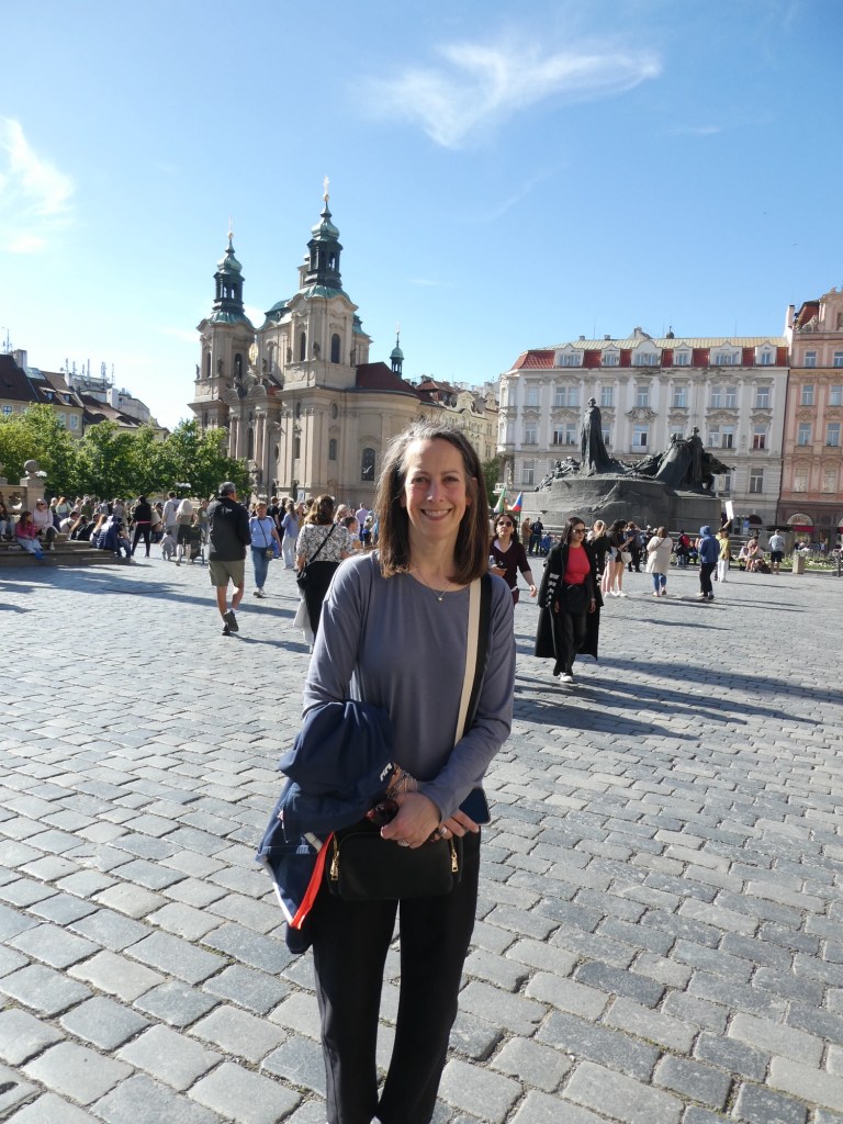
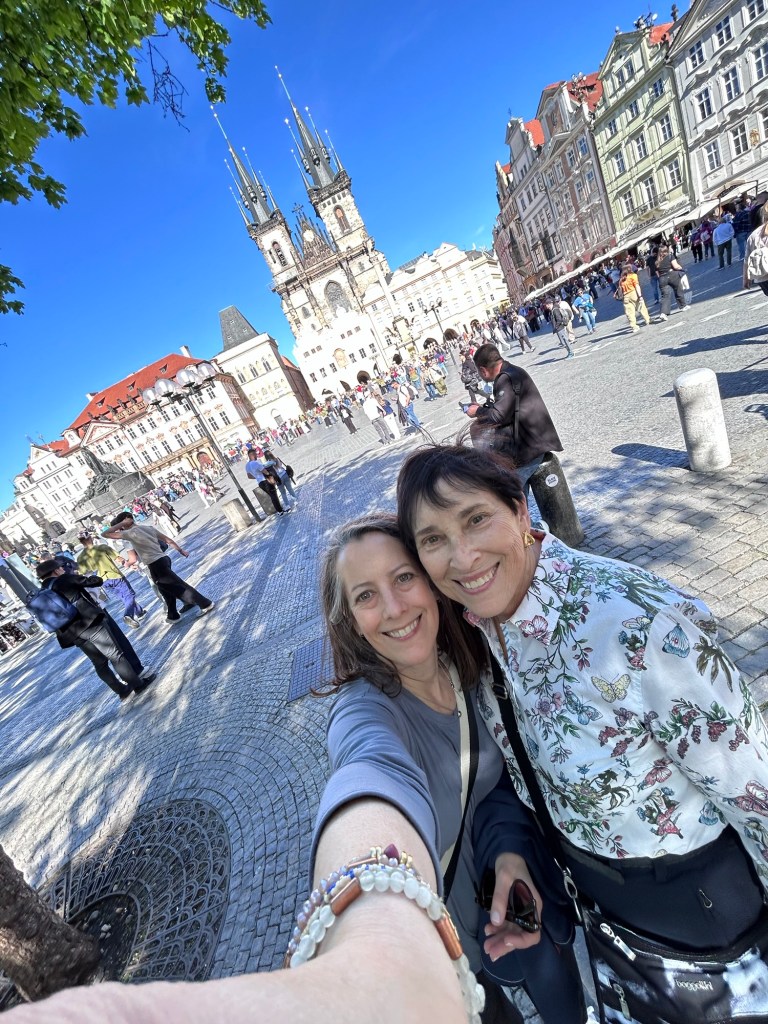
We then toured the old town arriving at the famous clock just in time for the noon display. The Viking tour ended with some free time here and we stayed in town. After a nice lunch at a small cafe we went to the Story of Prague Museum. It was an interactive museum, with picture that turned from current views to historic views. We also climbed to the top of the clock tower in order to get views of the town.
We then went to another museum about the artist, Mucha. He did arte nouveau in the late 1800s and early 1900s. There were many pictures by him as well as a short movie about his life.
We came back to the hotel to freshen up and then had a wonderful dinner back in the old town overlooking the Charles Bridge.
After flying to Boston a day before our trip actually began, we went to check into our flight only to discover that the final leg had been cancelled. Fortunately the tour company was able to get us on other flights and we got to Prague only 1 hour later than we were supposed to.
After dropping our luggage at the hotel, we walked into the old town area of Prague. We spent a few hours walking around, but had to return to the hotel for a briefing meeting.
After that we went to dinner at a wonderful restaurant. The food and the setting was amazing. Then we were off to bed.
We have spent 4 days in Singapore. We had a wonderful guide, Wadi for 2 days and the remainder of our time was on our own. Singapore has been a sovereign nation since 1965. The island nation is 280 square miles in total. Our guide told us you can drive from one side to the other in about 1 hour. There are many walking and biking paths throughout the city itself. The weather here is always hot.
The original settlement was founded by Stamford Raffle, 200 years ago. There are many places and buildings named for him, especially the Raffles Hotel. The current population of Singapore is 6.1 million. The original city was set up in sections devoted to different nationalities, Chinese, Arab, Indian, English and others. Because of this there are many colorful areas to see.
Our hotel, The Fullerton, was on the original shoreline. There are many areas that have been expanded by landfill. The hotel was the original post office. The country currently has 7 million trees, with the projected next million planted by 2030. Singapore has 4 official races and 4 official languages. 80% of the people live in public housing, but it is very nice looking, well maintained and after a period of time you are able to “purchase” your apartment on a 99 year lease. The way the young people propose is to say “I hear a flat is coming up should we apply together”. There is almost no homelessness.
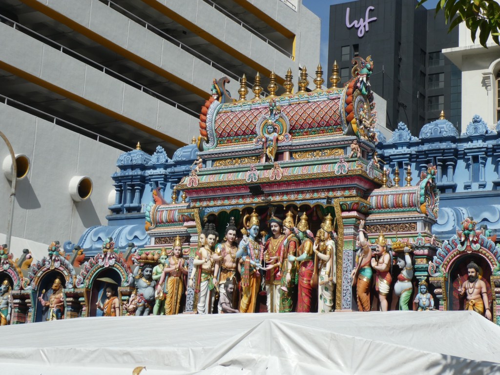
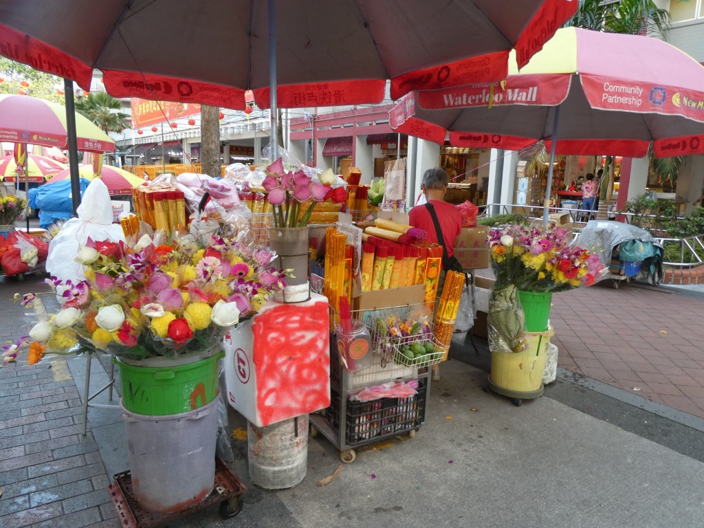
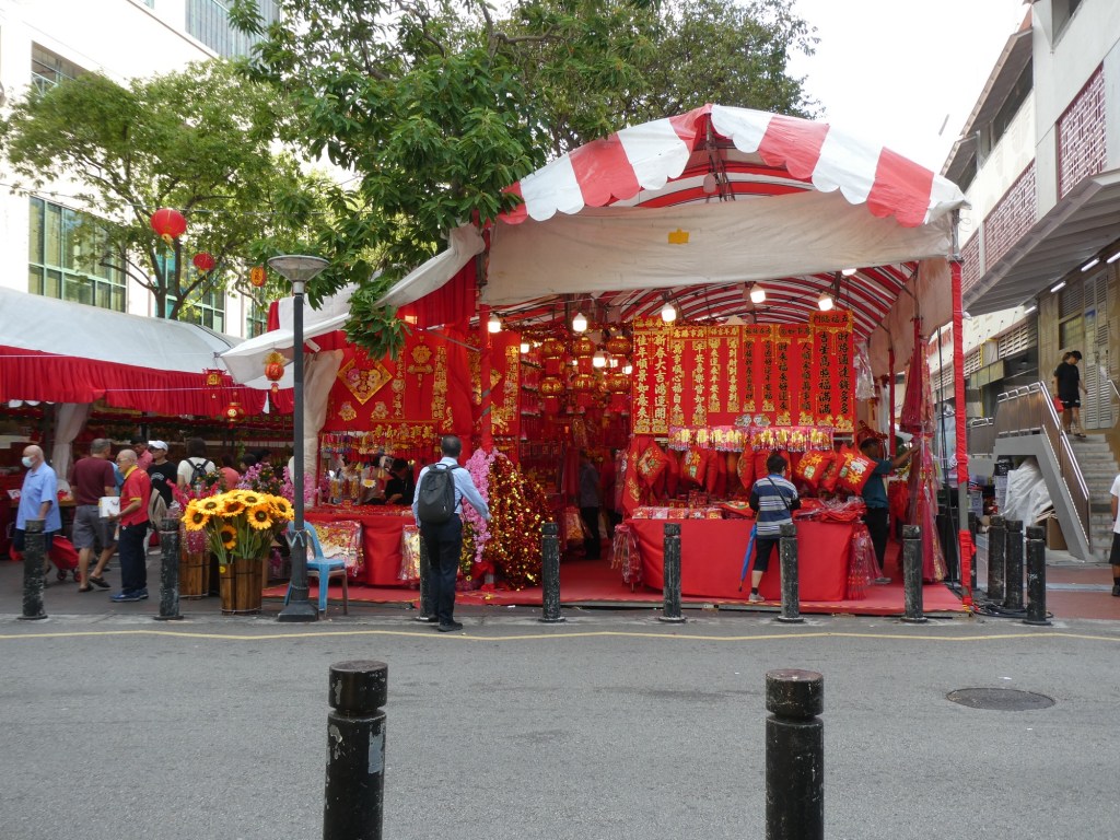
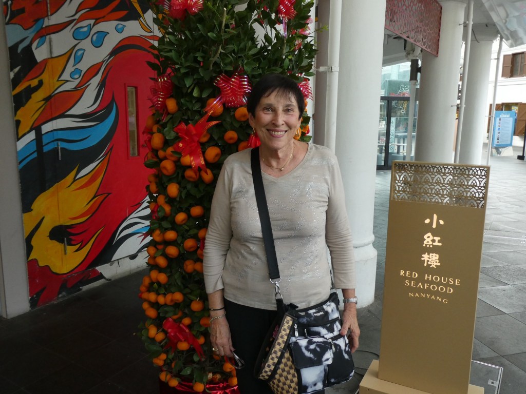
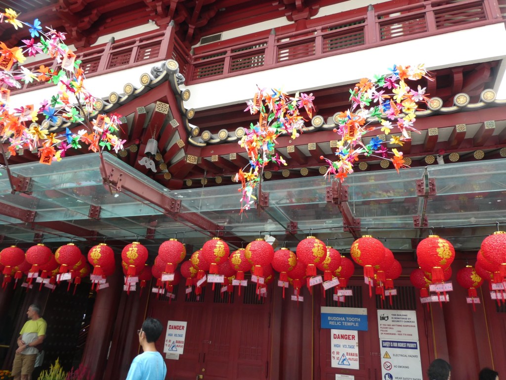
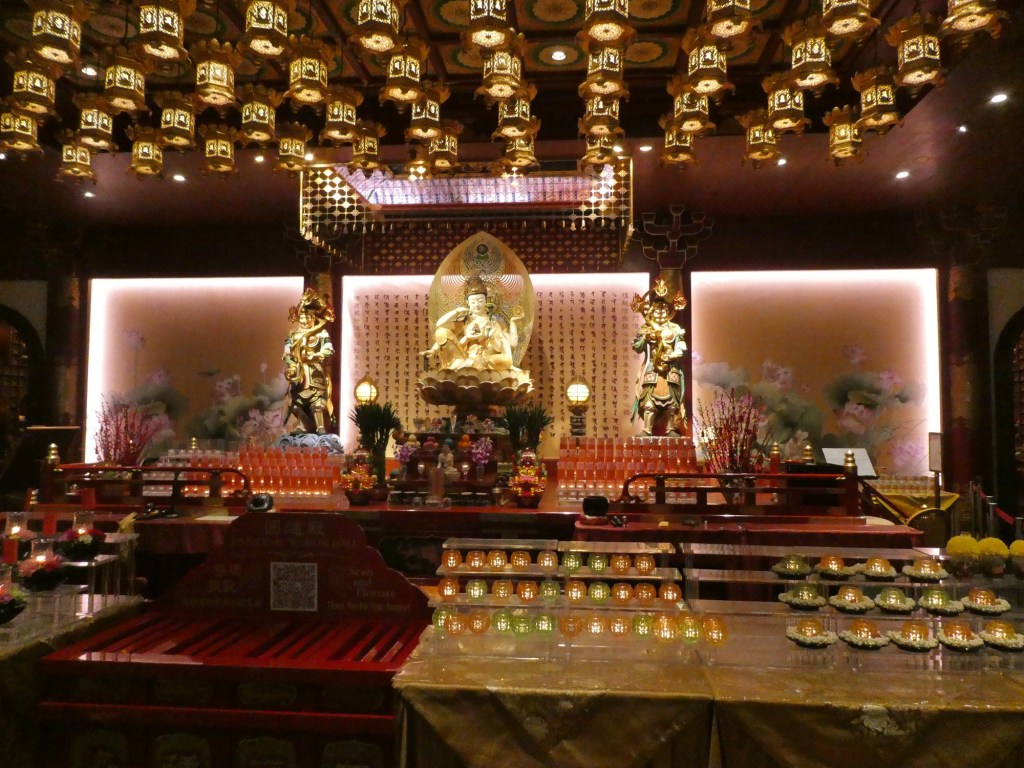
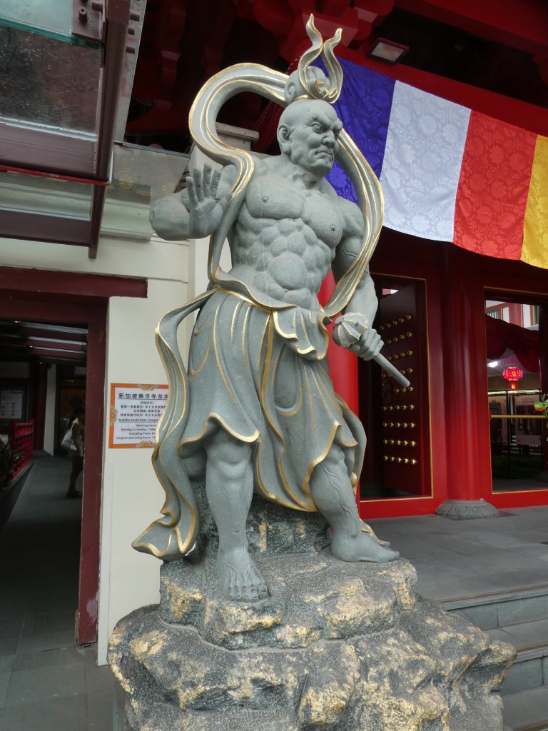
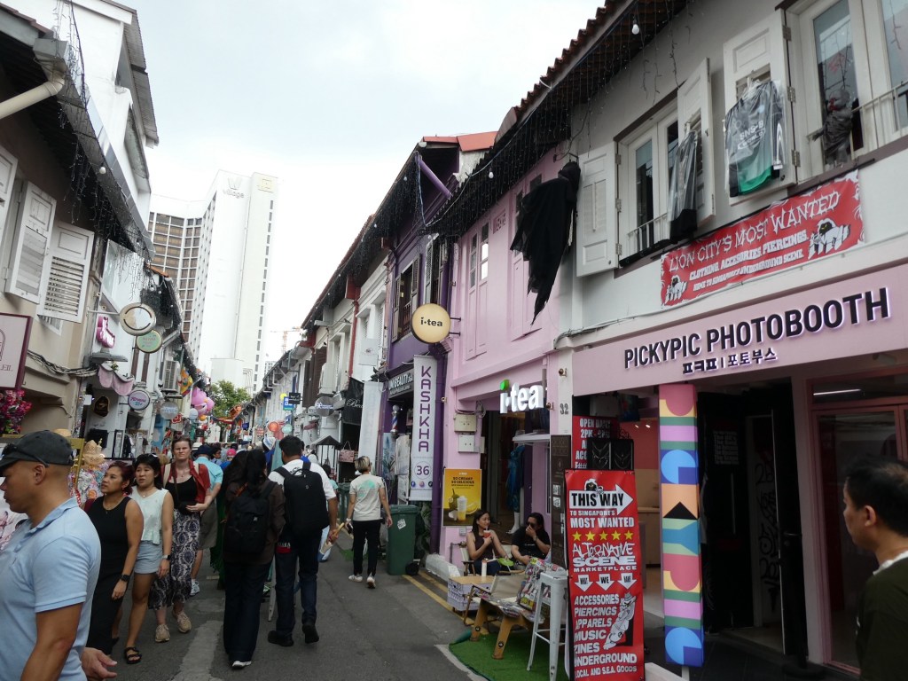
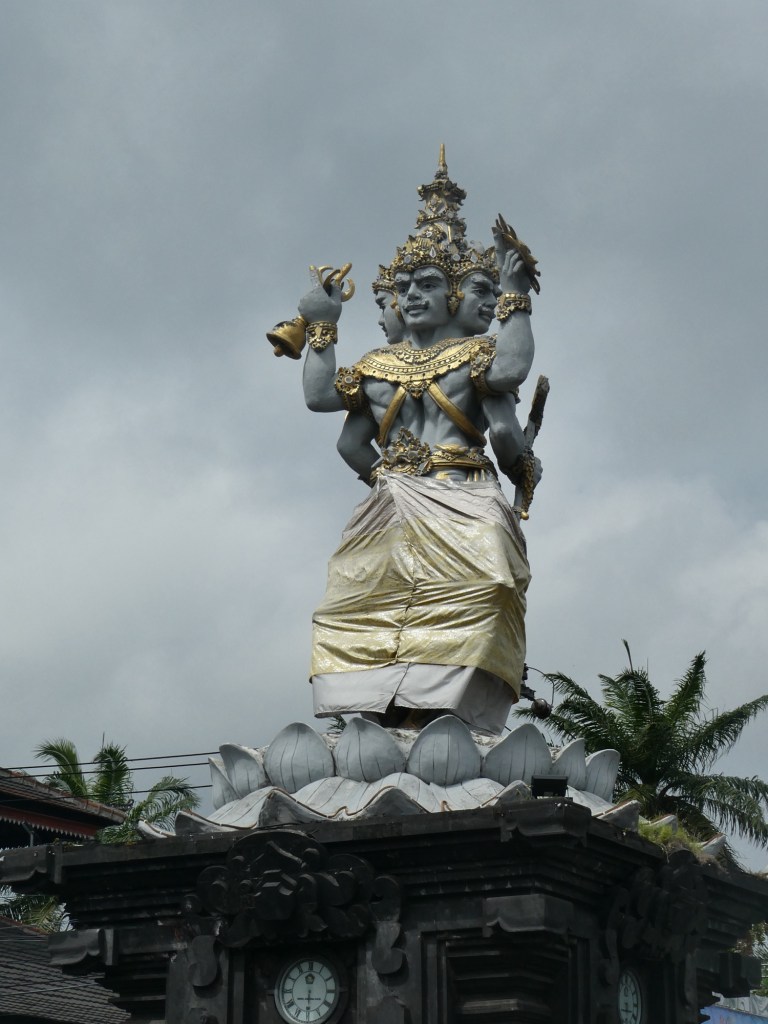
Singapore was called the lion city, because when it was first discovered someone thought they saw a lion, but it was probably a tiger, but none the less they named the city for the lion, Singa. On our first day we visited Waterloo Street which is in Chinatown. The streets were decorated in red with many trees of mandarin oranges. This is the beginning of the Chinese new year, starting about 3 days after we visited this area. Traditionally you give red packets which contain money and mandarin oranges. We were able to go into a Chinese temple. We heard about how they buy a bundle of sticks, shake them until 1 falls out and then take that to the fortune teller.
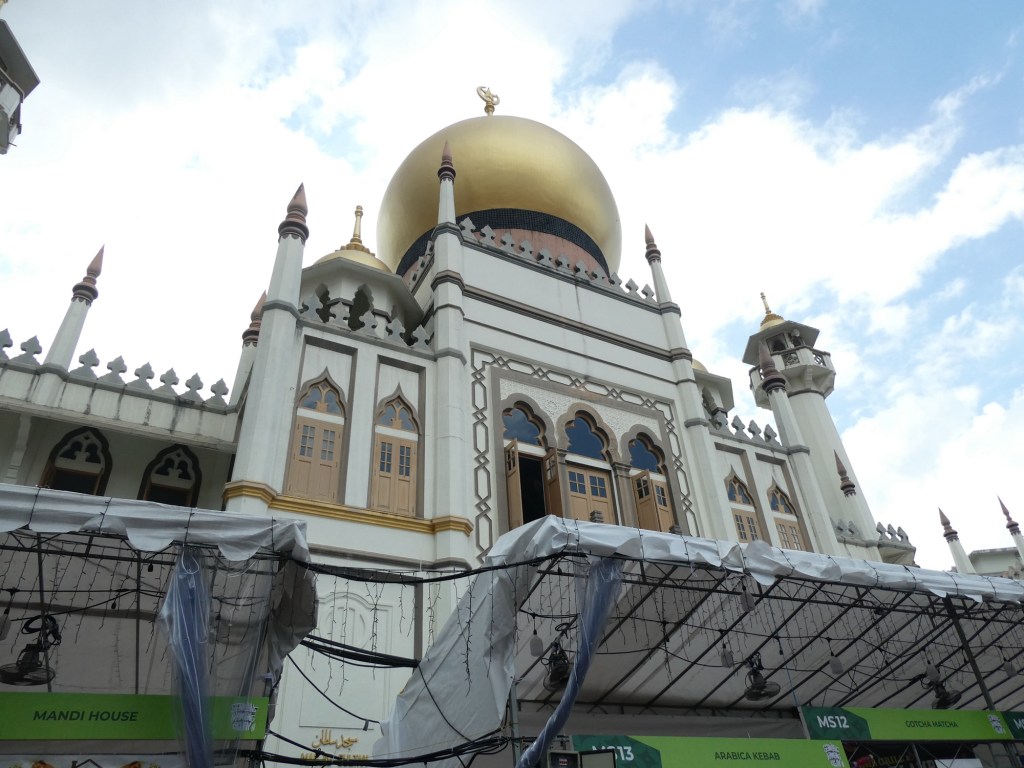
Our next stop was on Arab street, and these people were getting ready for Ramadan, the traditional fasting time.
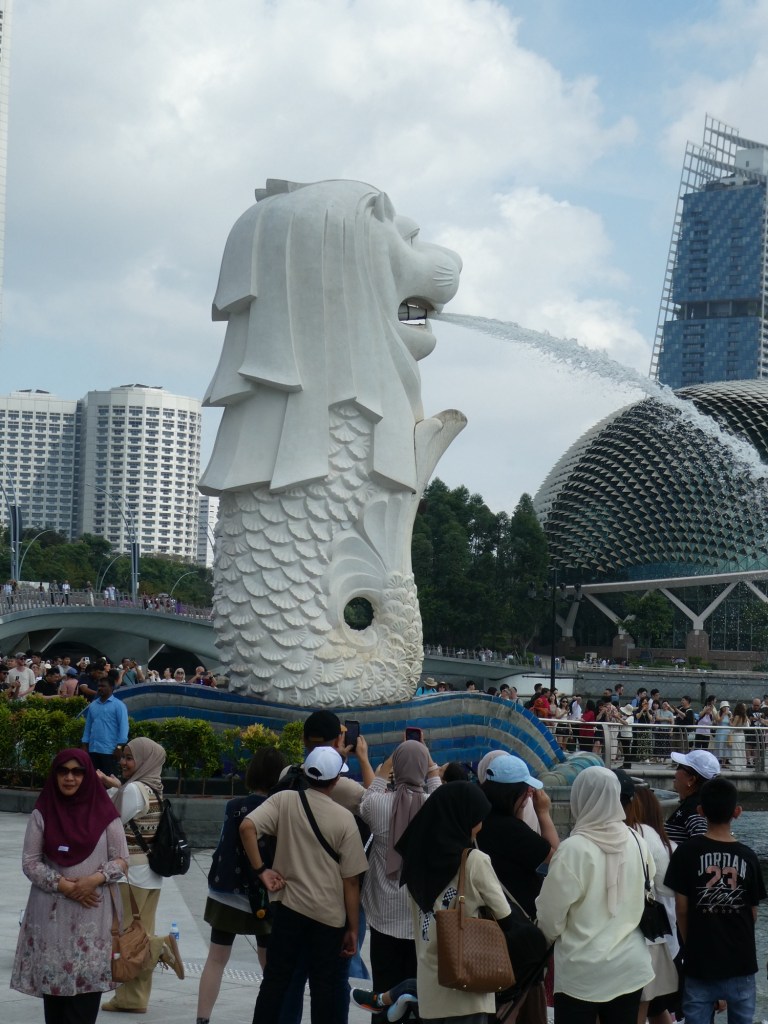
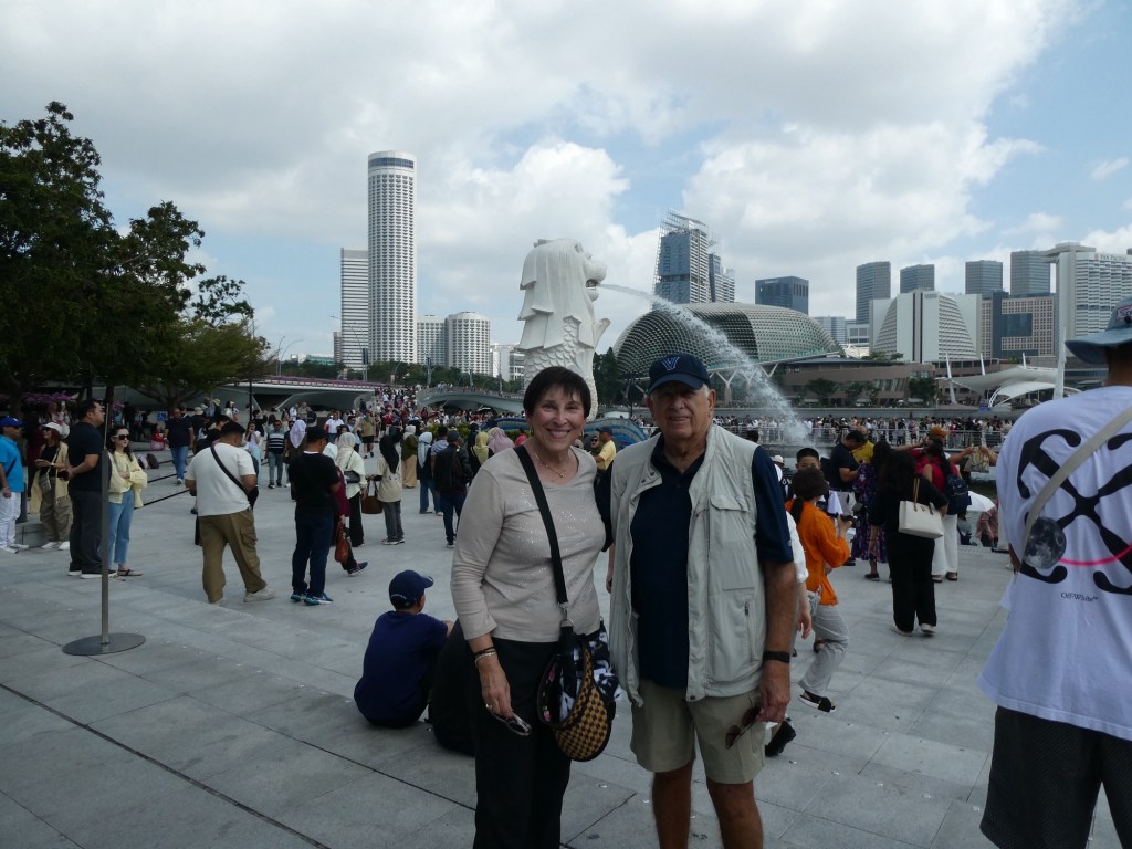
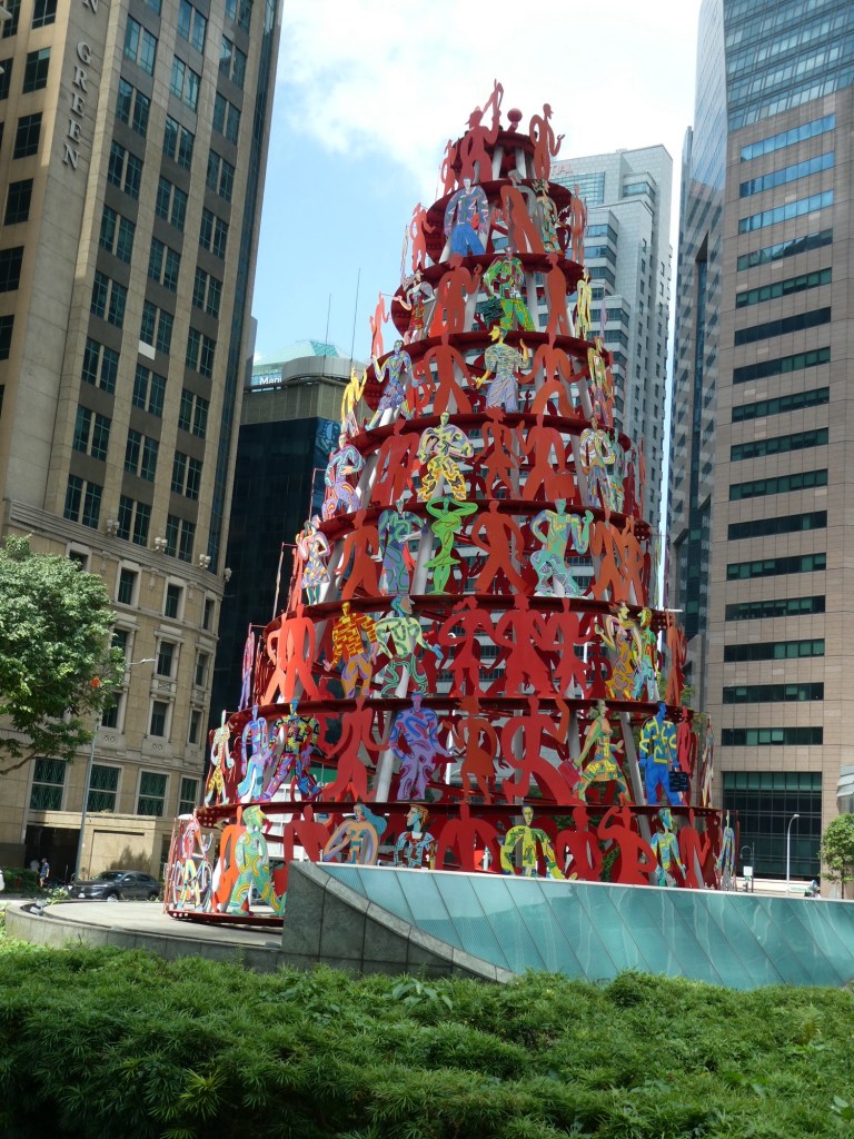
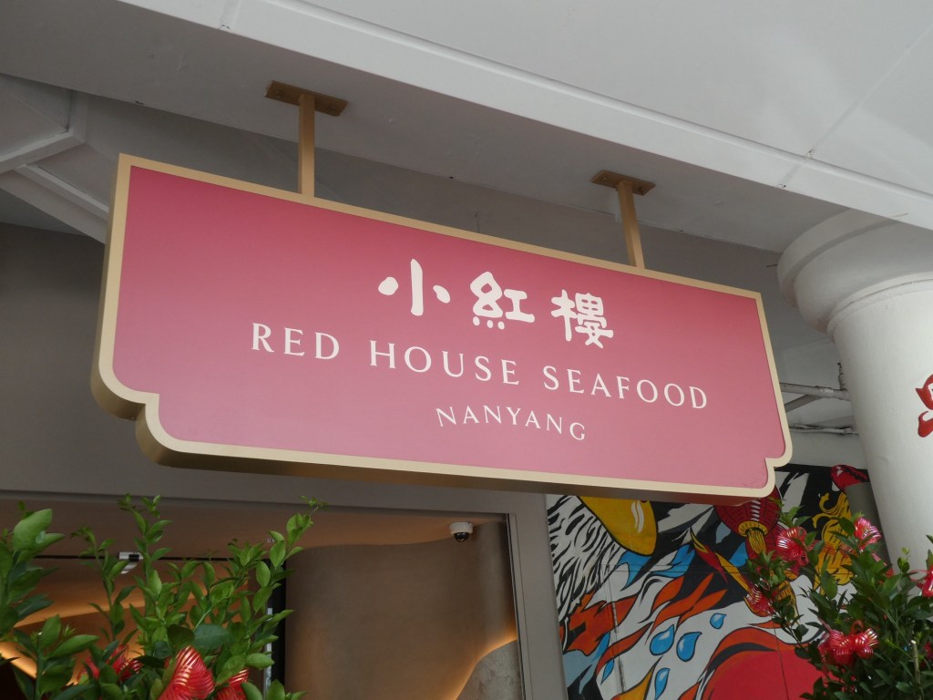
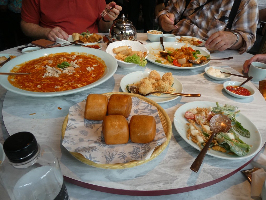
The Merlion was adopted as the mascot in 1971. The Singaporeans eat 6 times a day and stay up late and rise early. Our guide said, they walk fast, eat fast and play fast. We had lunch at fabulous Chinese restaurant. The food was some of the best we have had at a group lunch.
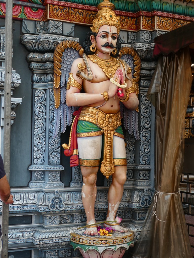
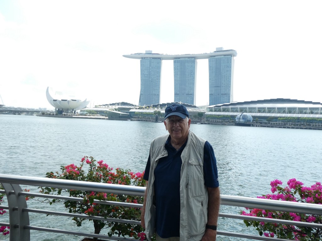
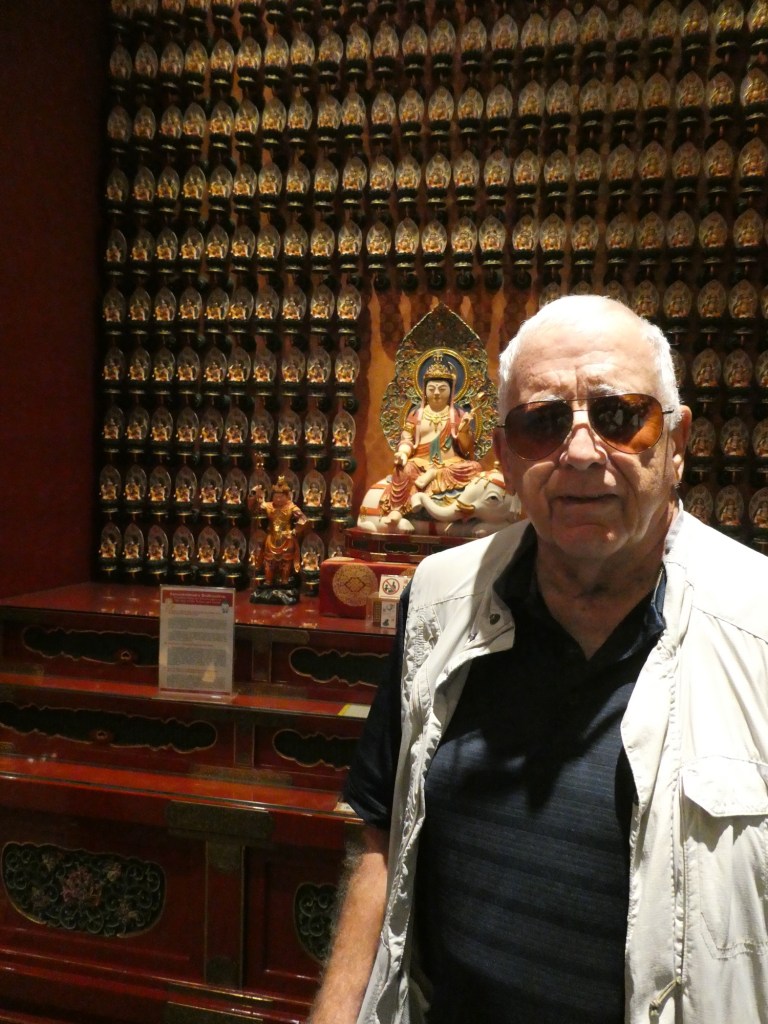
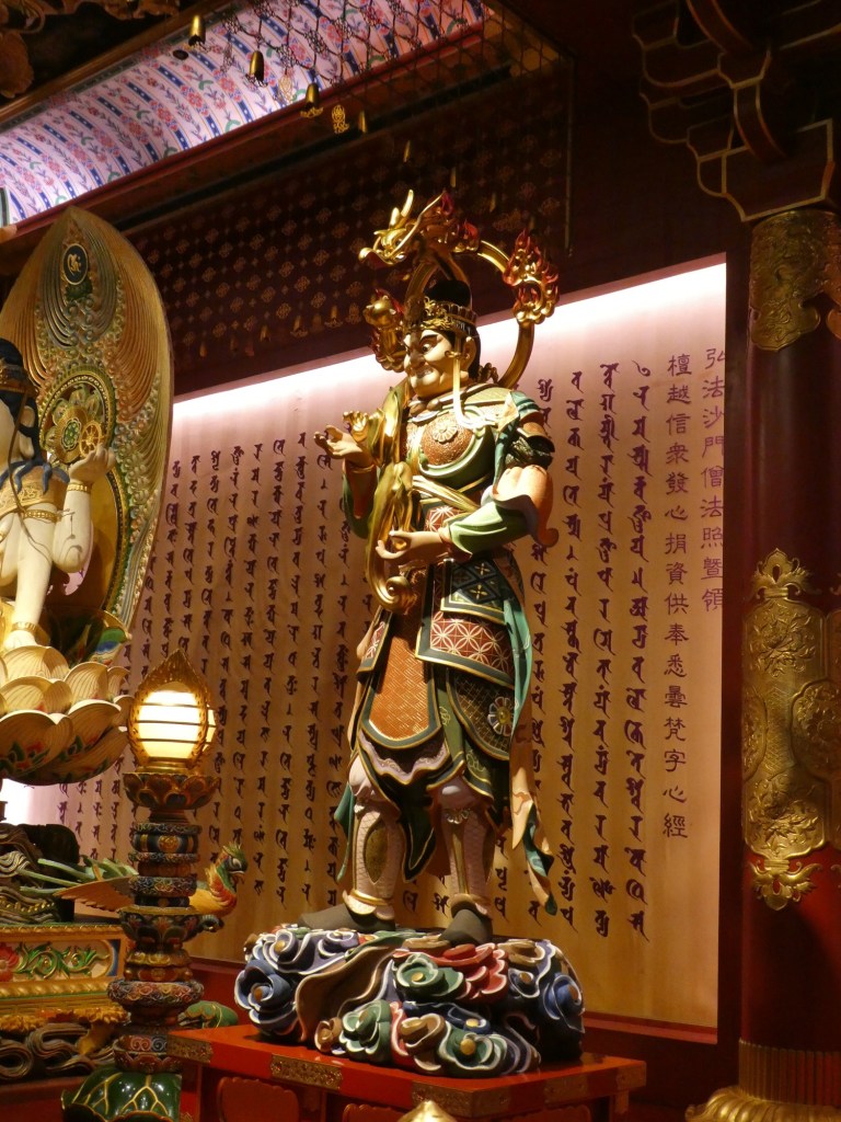
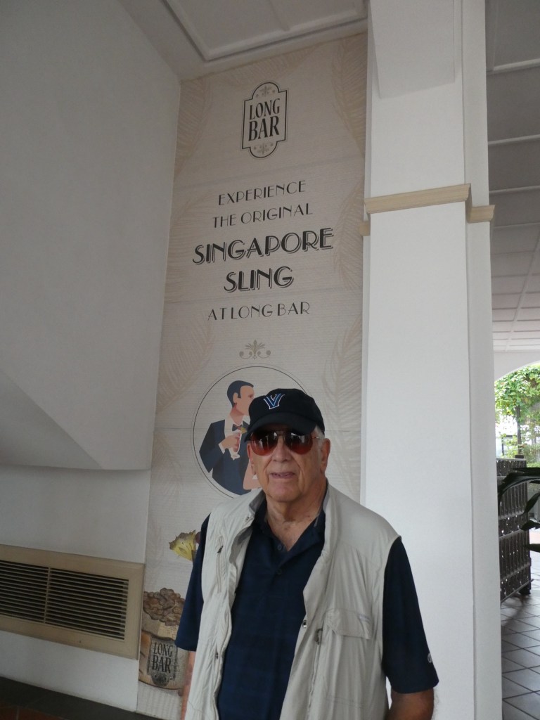
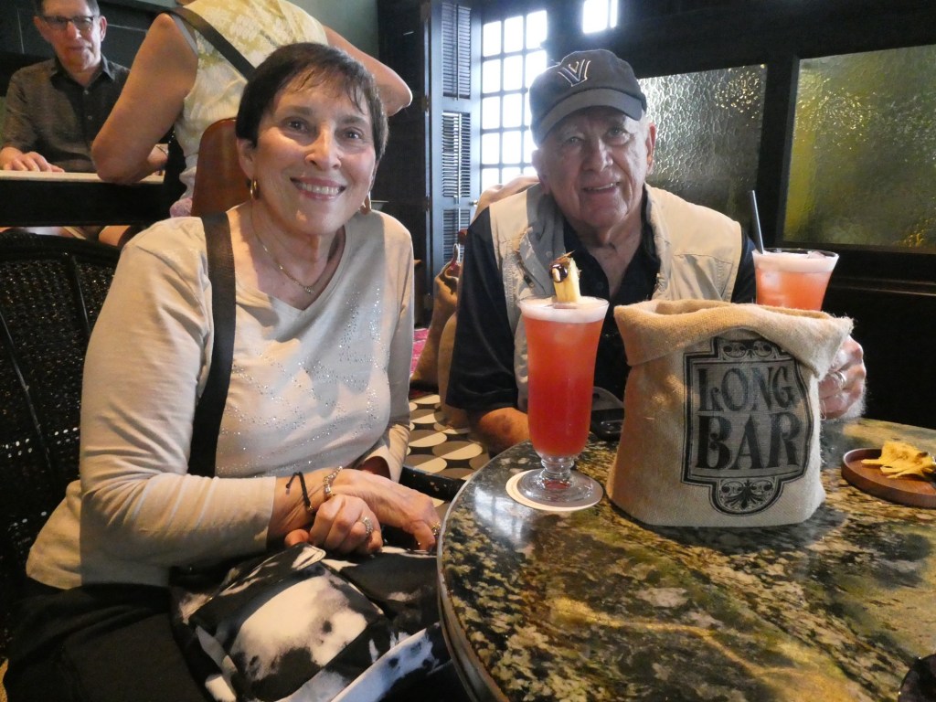
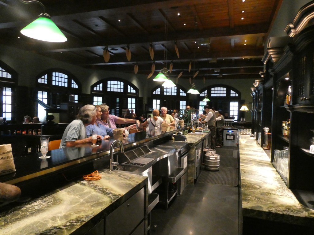
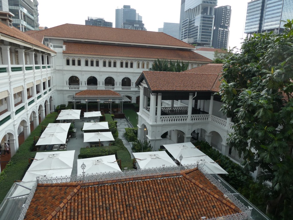
Street artA Buddhist TempleFlower seller for the new yearChinese templeMore items for sale for the new yearMore of the Buddhist templeBob with the Marina Bay Sands Hotel in the background The MerlionMore street artOur many course lunch served family styleStreet decorations near the Buddha Tooth TempleInside the templeArab StreetSultans MosqueAt the Raffles Hotel on our way to a Singapore SlingThe Long Bar and our slings. You throw the peanut shells on the floor.The Long BarMore of the Raffles Hotel
This ended our first day in Singapore. It had been terribly hot and when we got to our beautiful hotel we cleaned up, and were too tired to go out to dinner. Actually after the big lunch and drinks, we did not need much in the way of food.
Since this has been a very long post, I will do subsequent days in another post.
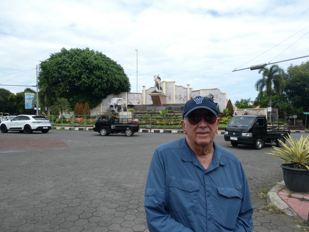
After 3 days at sea we arrived at our first port in Bali, Benoa. Balinese culture is deeply rooted in Hinduism. Benoa is located in southeastern Bali. Bali is part of the Indonesian republic which was established August 17, 1945. The island of Bali has a population of 4.6 million. The island has many immigrants who come here to find work in the tourism industry. Other than tourism, the main economic activity is rice farming.
Education through high school is free. So is healthcare. This has only been the case in the past 14 years. Many of the young people do not go on to college. There is a great deal of illiteracy among the older population.
We learned a great deal about the culture of the Balinese. When children are born they are called by their birth order. There are 4 names because there are 4 directions. I did not get the names but if you were the first born you would be called North 1, but if you were the 5th child you would be called North 2. Our guide had a small flower offering on the bus, so we would be safe and return to the port unharmed. They are very respectful and believe we are all human.
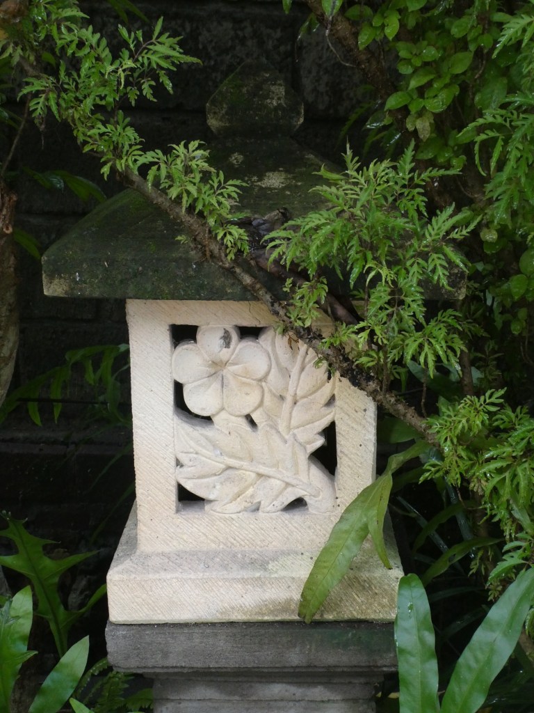
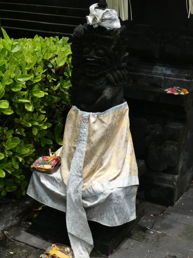
As we drove we saw small temple structures that are dedicated to their ancestors. Many had cloth draped over them. Every family has these temples and believe that the spirit of those who have passed before reside in them. They believe in reincarnation and make a daily flower offering to their ancestors.
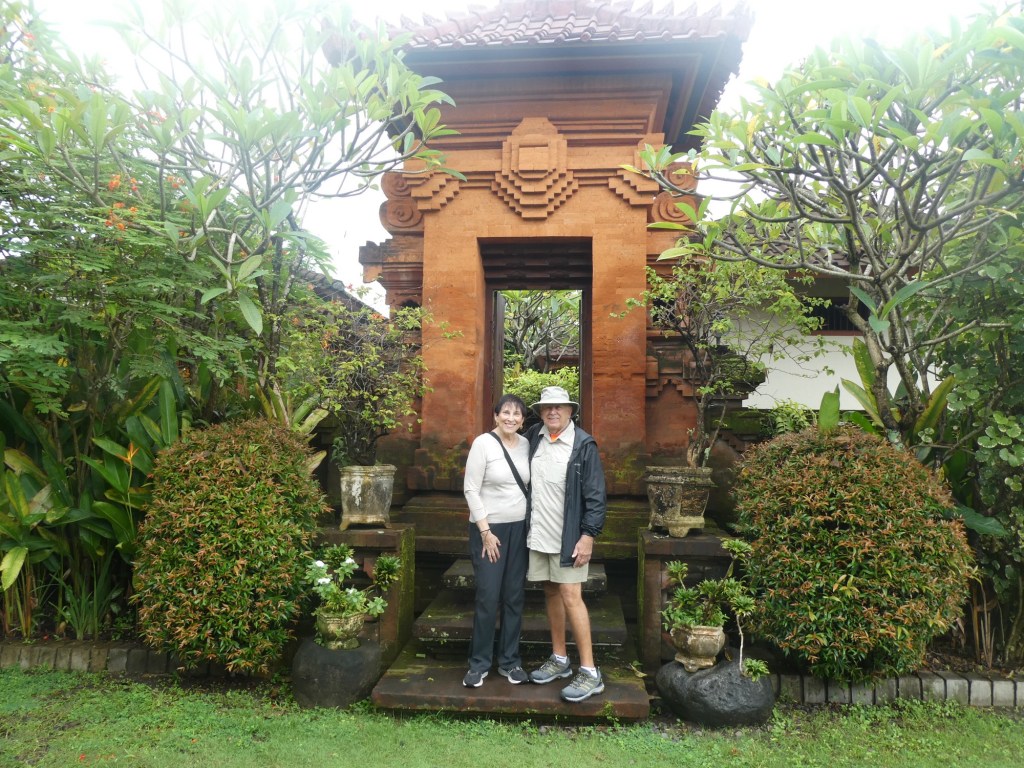
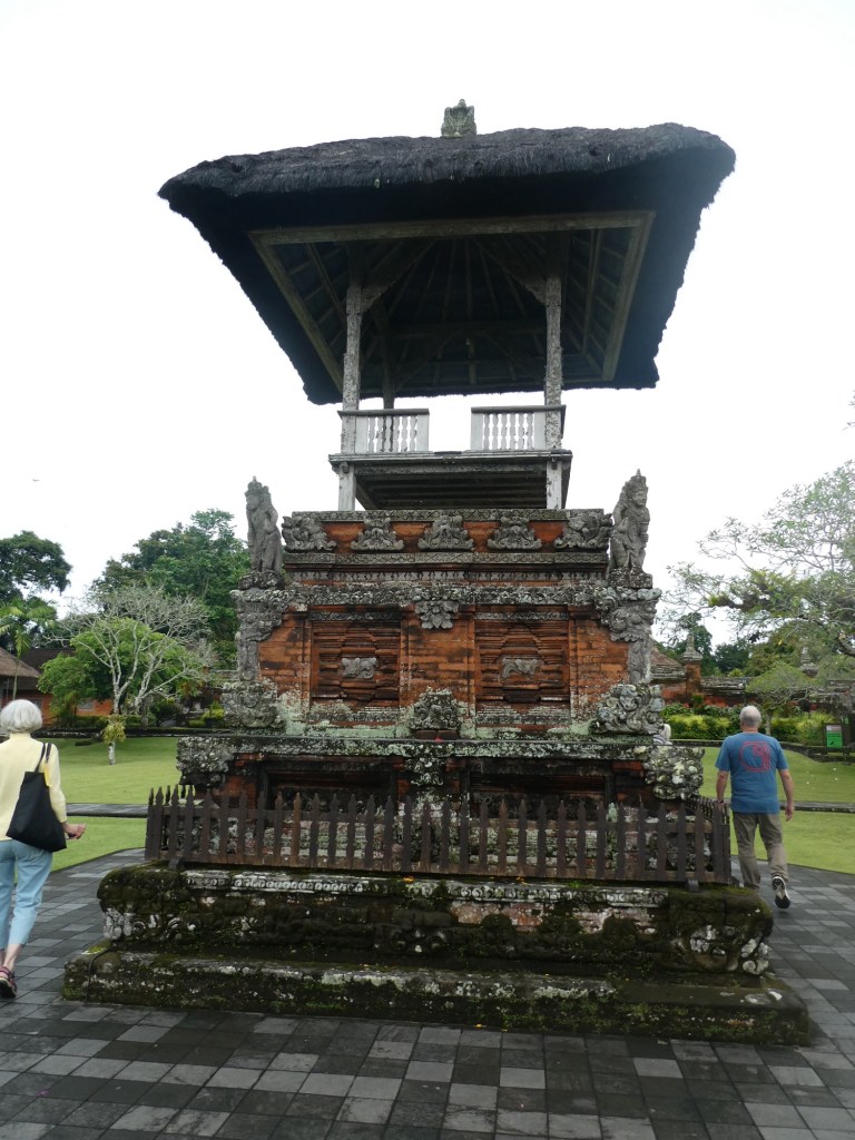
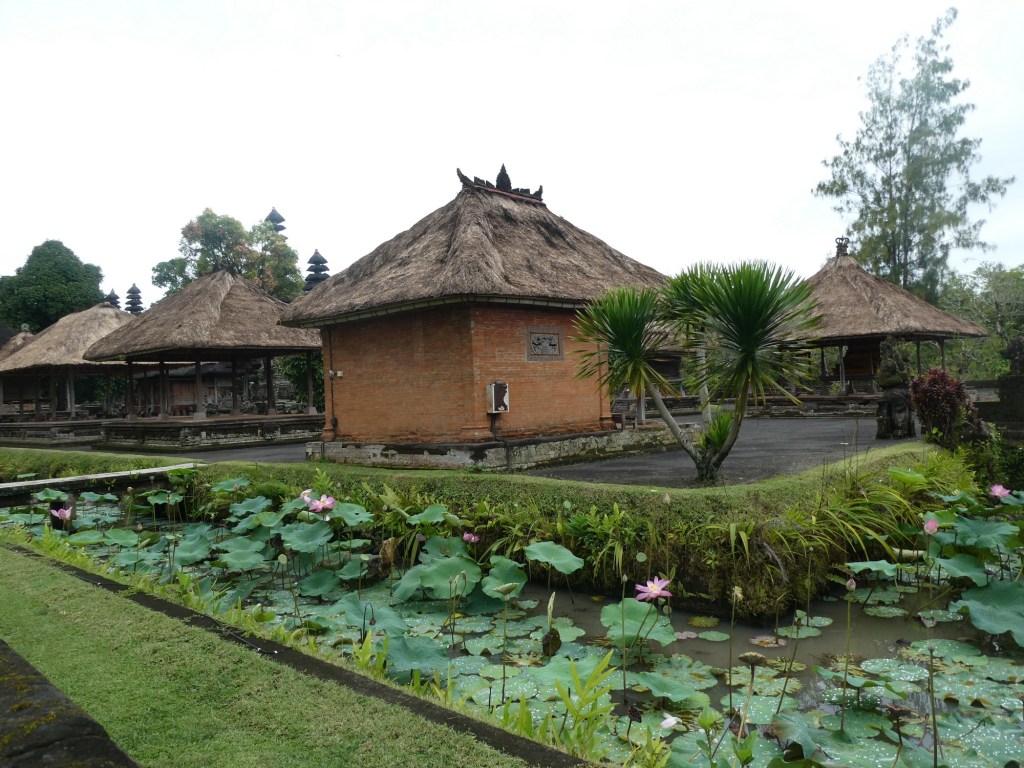
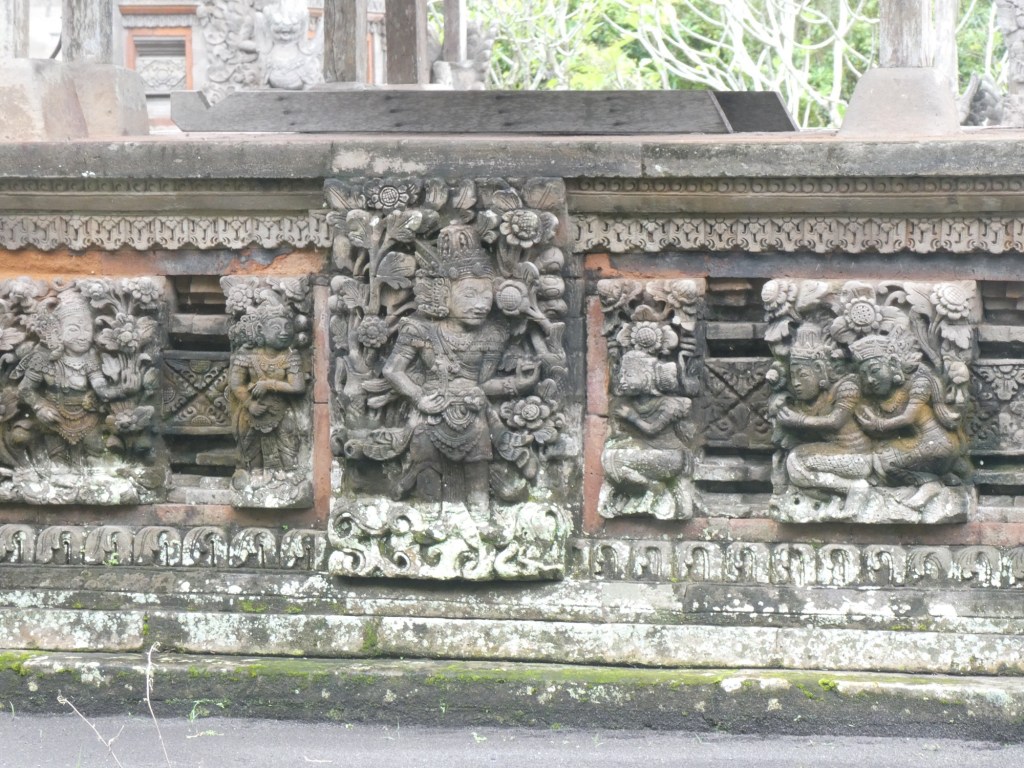
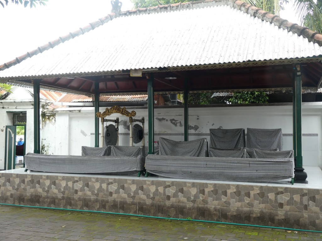
We went to the Royal Temple first. It was very traditional in that it was only altar like places for worship. We could not go in that area, but there was a walled walkway that we could follow. It was not in very good repair. They still have a royal family, but they have no importance in the running of the country. It was built in 1634.
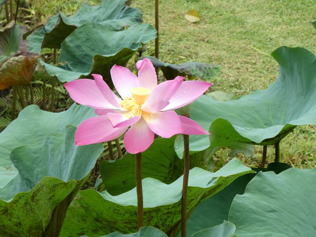
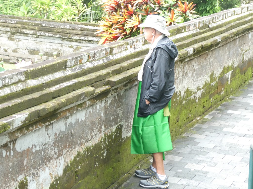
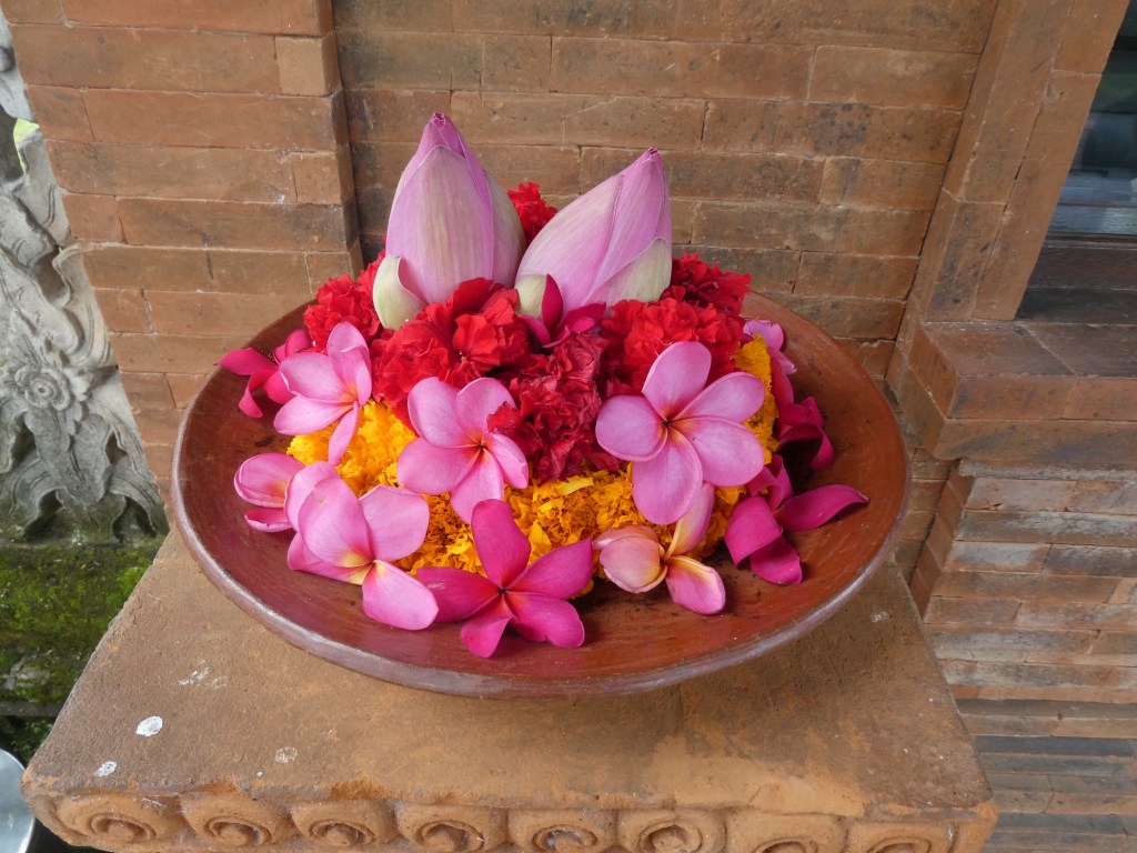
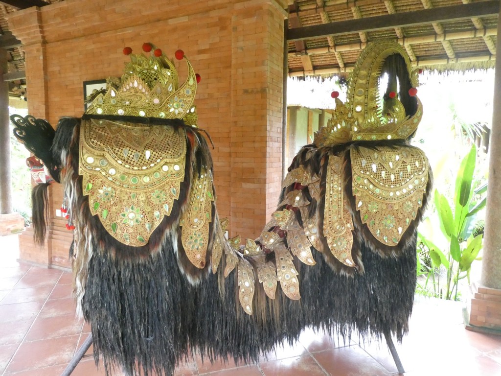
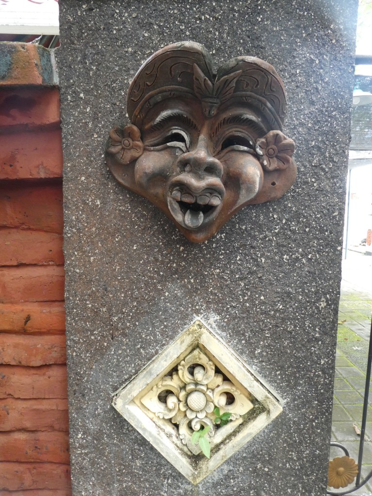
A statue on the roadAt the Royal templeOne of the small temples to ancestors As we enteredThe main temple area surrounded by a moat with lotus flowersYou could not enter if your knees are uncovered, so sarongs were given outA flower offering
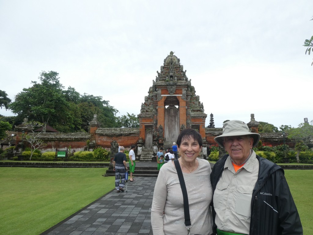
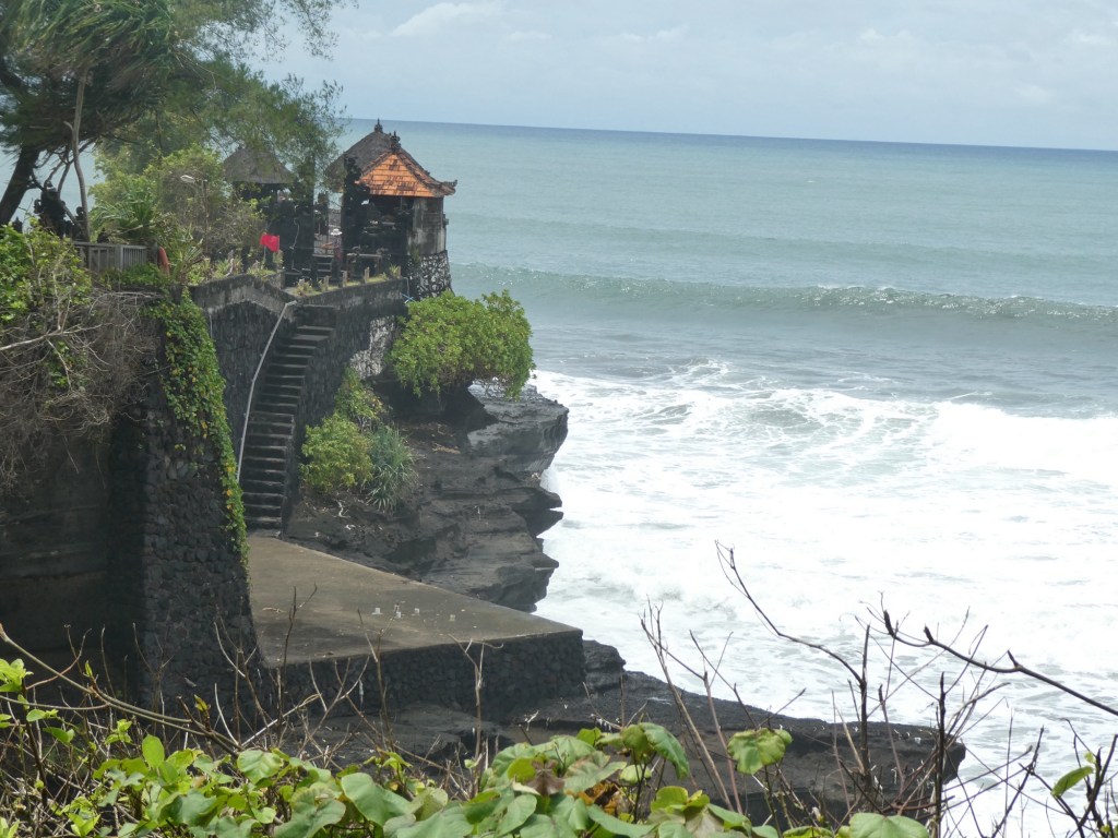
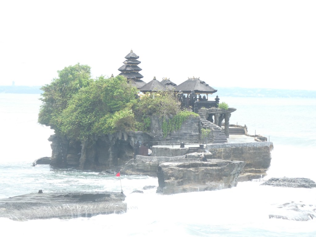
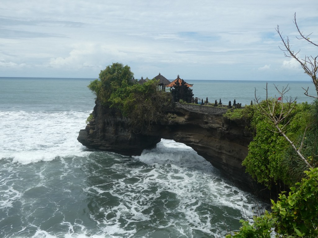
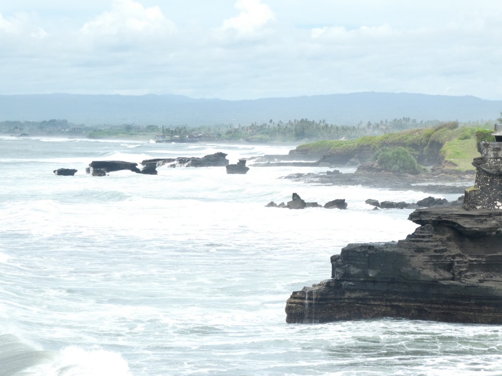
After visiting the Royal temple we drive to Tanah Lot, another temple from the 17th century. It was on the coast and the shore line was rocky and there were crashing waves.
This is Tanah Lot, in the sea with no link to the landA small temple draped with cloth
Our second day was from the port of Celukan Bawang on the north shore of the island. Bali is one of 17,000 island that make up Indonesia. All of Indonesia has a population of 279 million and is the 14th largest country in the world by area.
Our guide told us to not expect much since Bali is a 3rd world country. We already knew that from our first day of touring. The roads were narrow, winding and crowded. Motorbikes were the most numerous means of transportation with a helmet law in place, but many rode without a helmet. Many of the drivers had small children in front of them on the motorbike. Our guide told us that there are 17,000 licensed guides in Bali and they only work sporadically. He works at a rice field when he is not guiding.
The Balinese go to some sort of market for food daily, mainly because they do not have refrigerators in their homes. We passed many small homes and our guide said that the people do not own them, but are passed down in a family by generation. Once you have a house it is the family’s forever.
Bali gets about 7 million tourists a year. The areas we saw were not pretty. There was garbage everywhere and ramshackle buildings. We were disappointed in our visit, we thought we would see pretty beaches, lush landscape, sort of like Bali Hai.
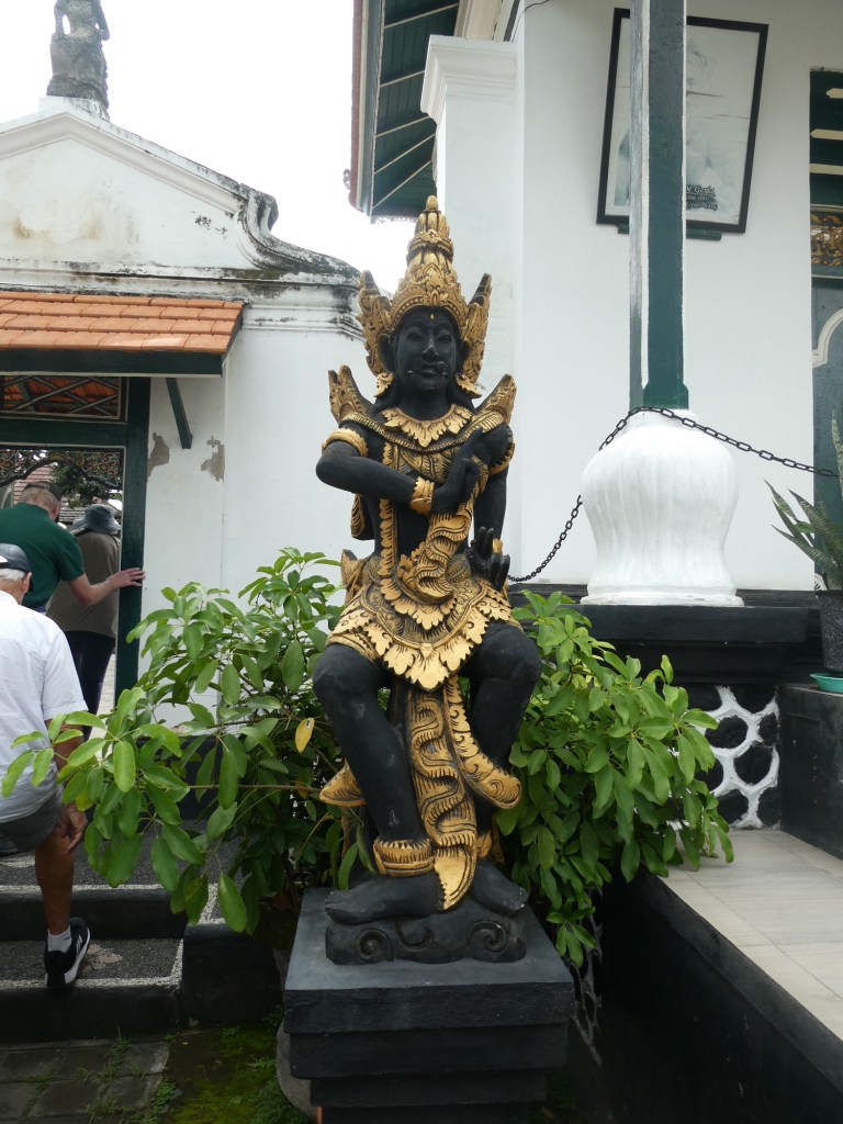
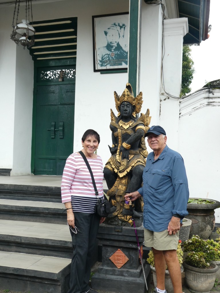
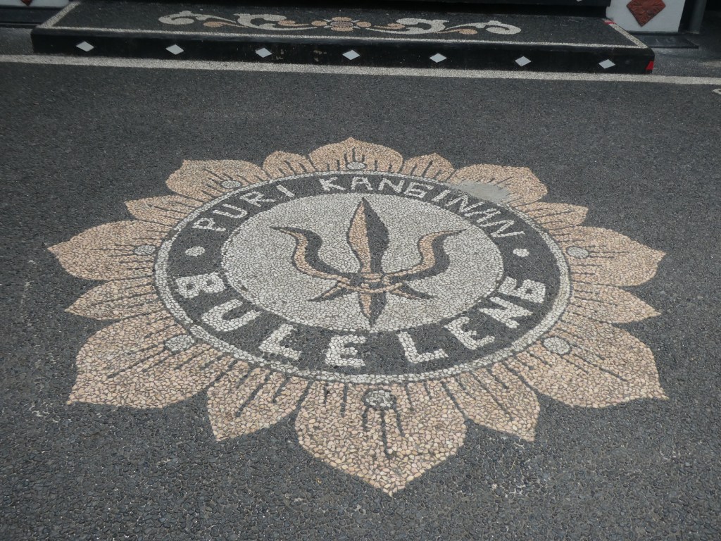
Our first stop was at the Royal Palace. It was not ornate or fancy, by our standards. However, when you compare it to the small houses we saw as we drove it was palatial.
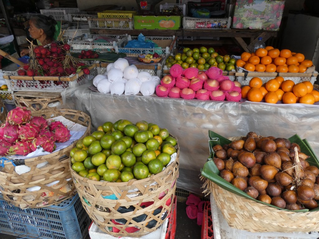
Like a sitting roomI think this is the logo for the familyDecorative statues across from the PalaceIn the royal library museumThe local fruits at a market
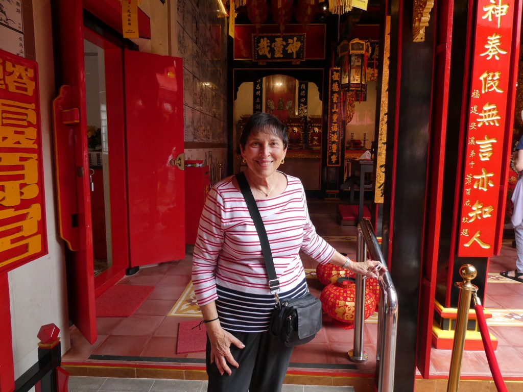
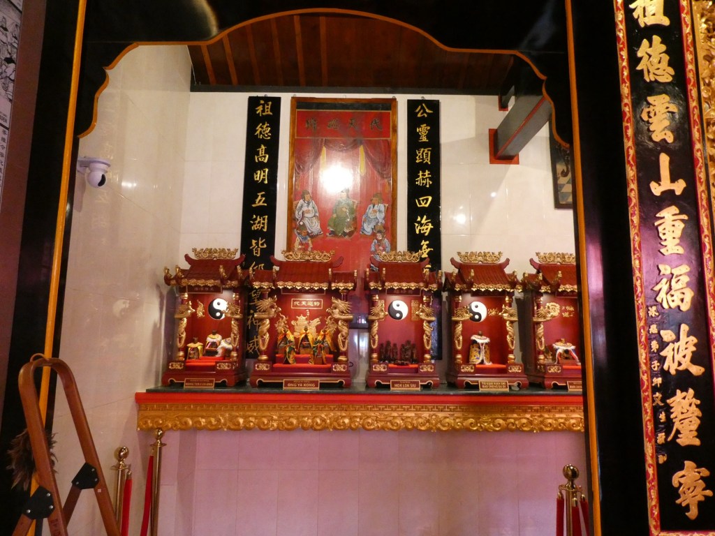
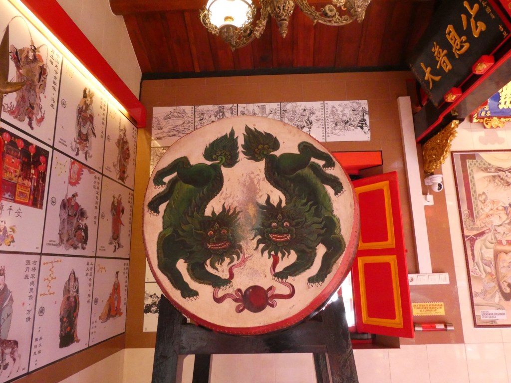
After the Royal Palace we went to a Chinese Temple. We were able to see all of it, because they were preparing for a holiday and had all of it open.
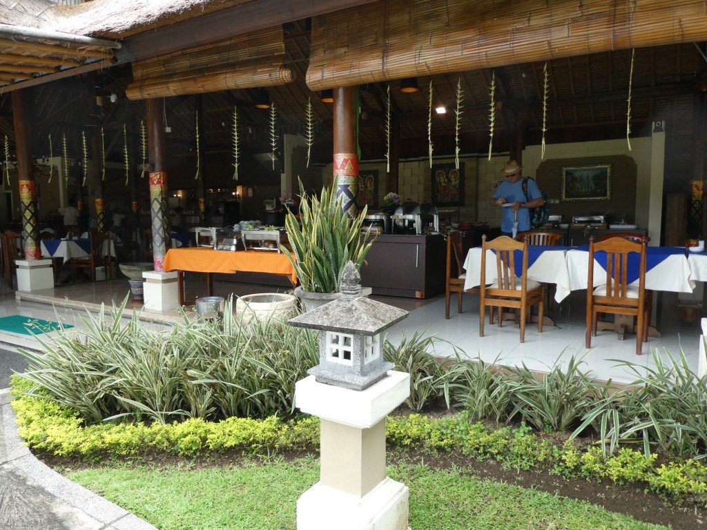
Our final stop was at the Aneko Beach Hotel. It was a 3 star hotel but looked nice. We had lunch there and the option to walk to the beach. The beach here, like all the beaches we saw, was not very pretty, the sand was a dark grey and the water not very colorful.
Lunch location
We were disappointed in Bali, I guess we did not realize how poor the island is. There are obviously high end resorts and perhaps if we had seen them our impression would have been different.
We now have two more sea days before we get to Singapore and the end of the cruise part of our trip.


Recent Comments