Monthly Archives: September 2017

Corner Brook, Newfoundland 

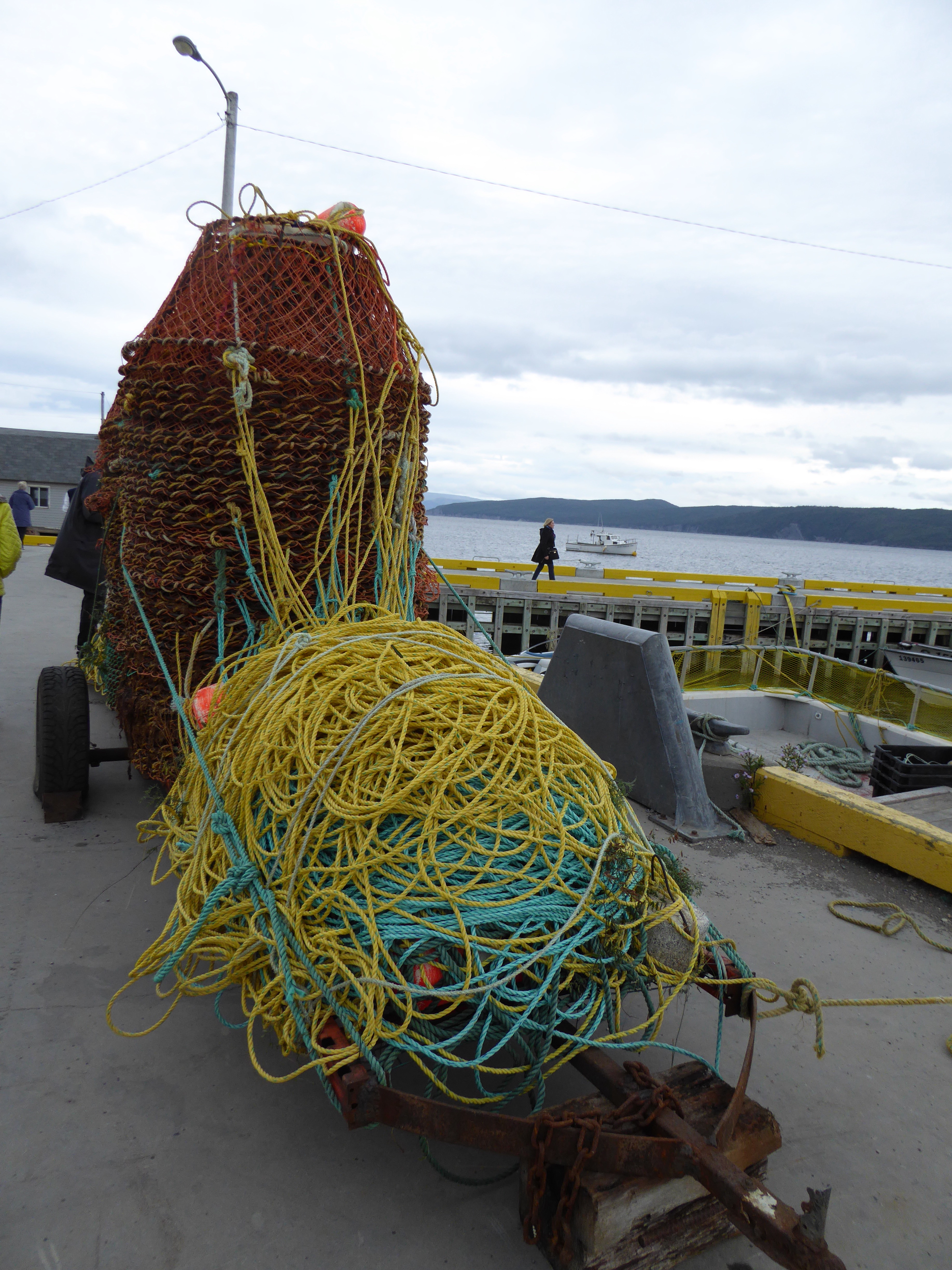
On September 4 we arrived in Corner Brook.  I think we were all happy to be getting off the ship.  We had booked a tour that was the highlights of the town as well as seeing the Bay of Islands.  


We were on a tour bus, with about 35 other people.  

Corner Brook is the second largest city on the island of Newfoundland, with a population of approximately 30,000.  We were on the most westerly part of the island, with St. John’s being the most easterly city and the largest as well.  Corner Brook is at the mouth of the Humber River.  It’s main industry is pulp, paper and board lumber.  Because of automation the factory employees only 2,000 down from 10,000.  It was a planned community and was established because of the deep water port.

There are many lakes and ponds, left over from the last glacial period.  There is a large National Park about 2 hours from this city, Gros Morne.  It is the second largest in the Atlantic Canada area.   Because of the very good salmon fishing in the area there are five 5 ⭐️ hotels.

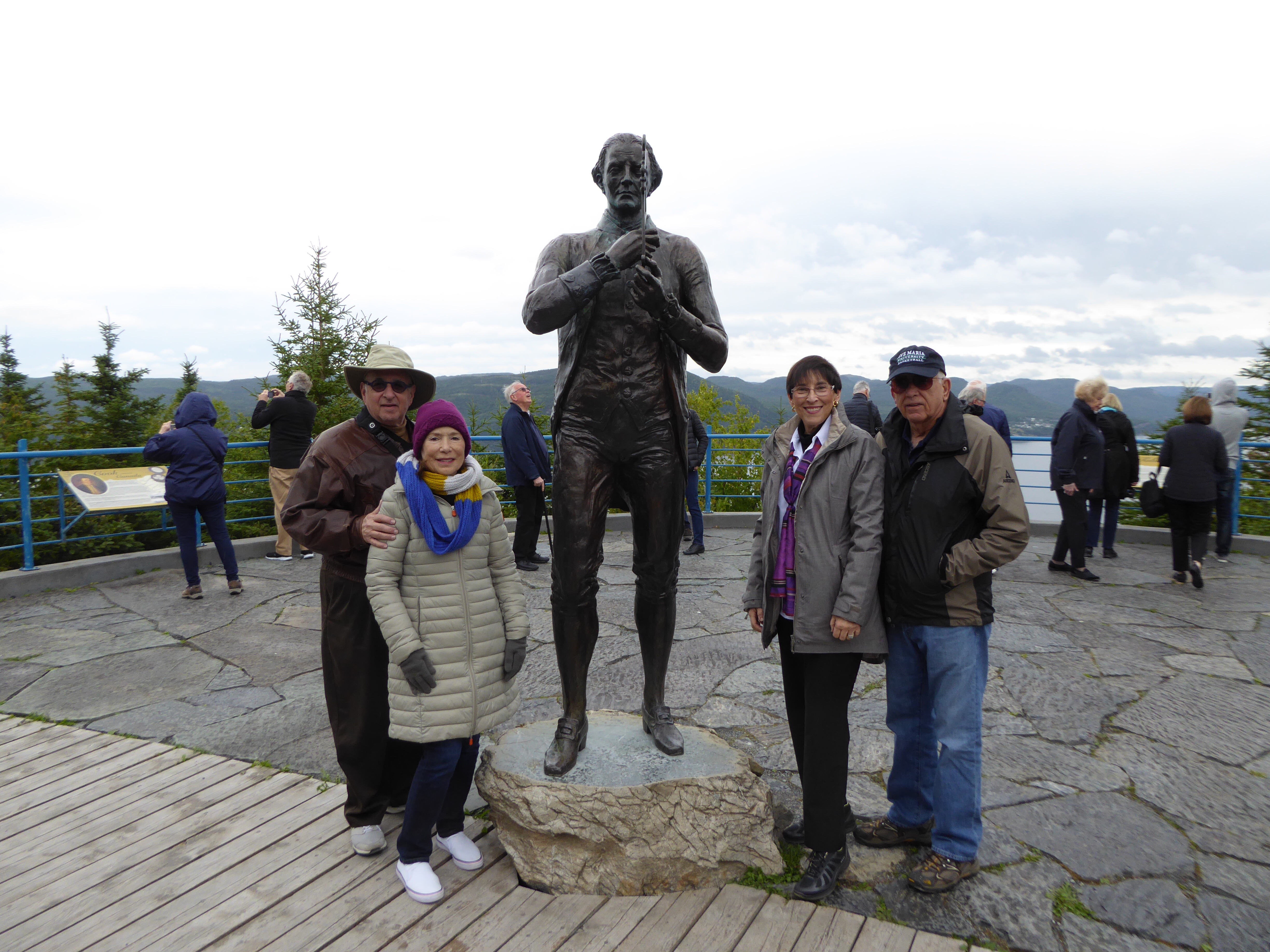
Our first stop was at the Captain Cook Monument.  He explored here and mapped the island with great accuracy.  He did 3 Pacific explorations and circumnavigated the globe twice.


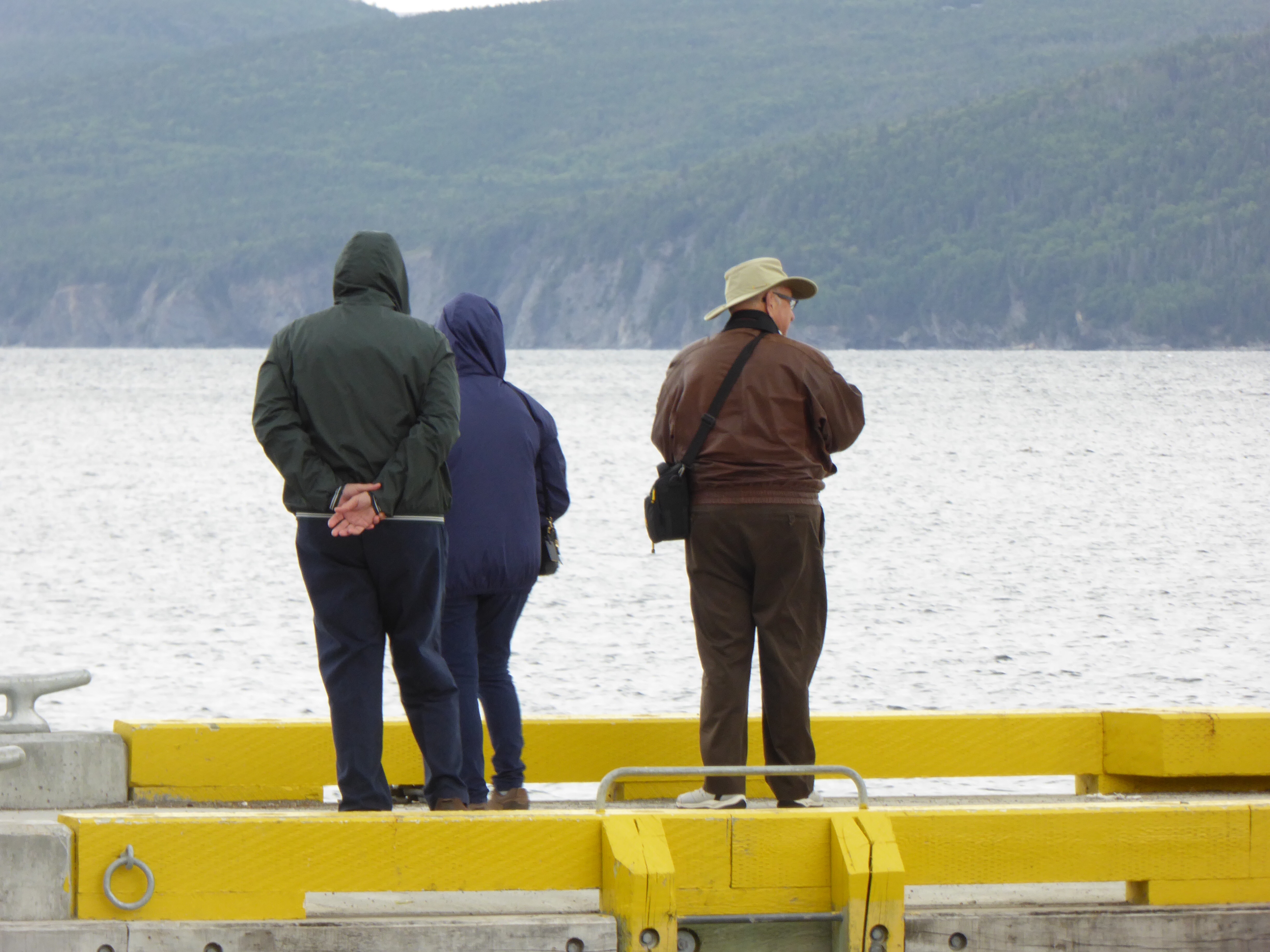
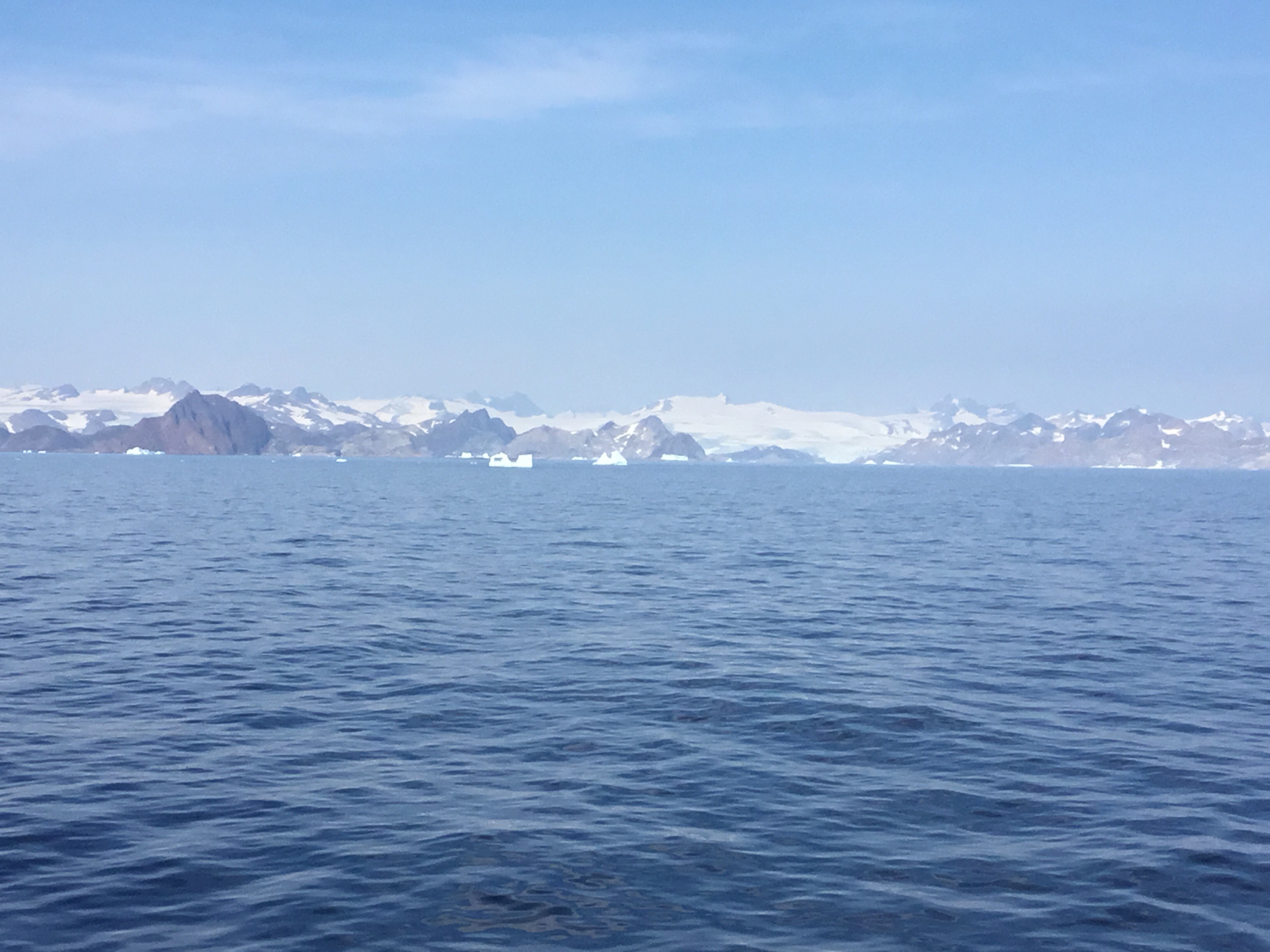
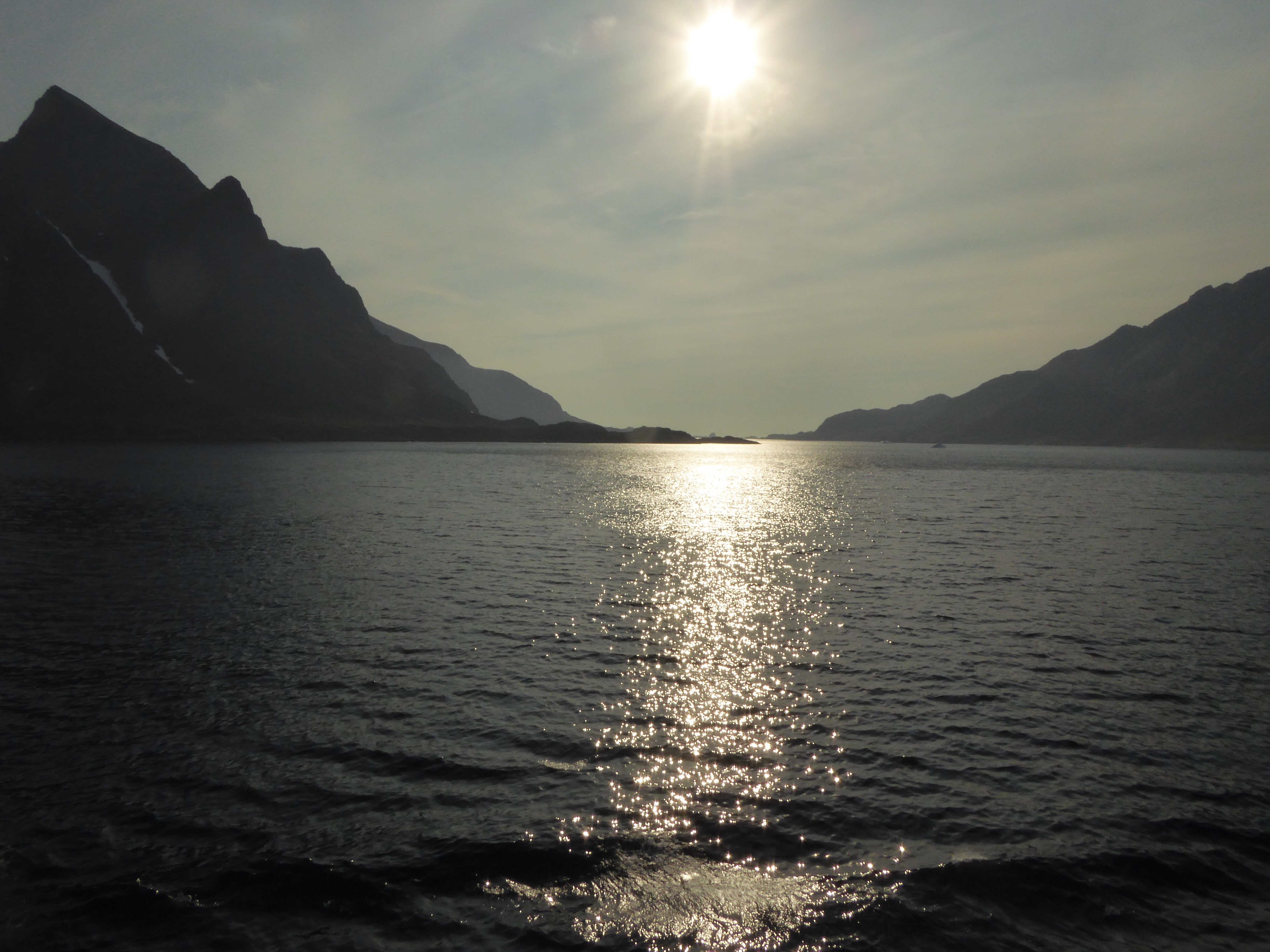
On our journey we saw Frenchman’s Cove, Blow Me Down mountain, Bottle Bay and Lark Harbor.  In the winter the bays freeze and the locals have activities out on them.


We stopped at a church for coffee and refreshments.  We tasted goodies that had cloudberries and blueberries.  We are in the height of berry season.  Unfortunately the trees have not started to change color.  We were told that this is quite a beautiful place to see the fall colors.

Unfortunately we had rain almost the entire time we toured, and rain most of the afternoon after we returned to the ship.

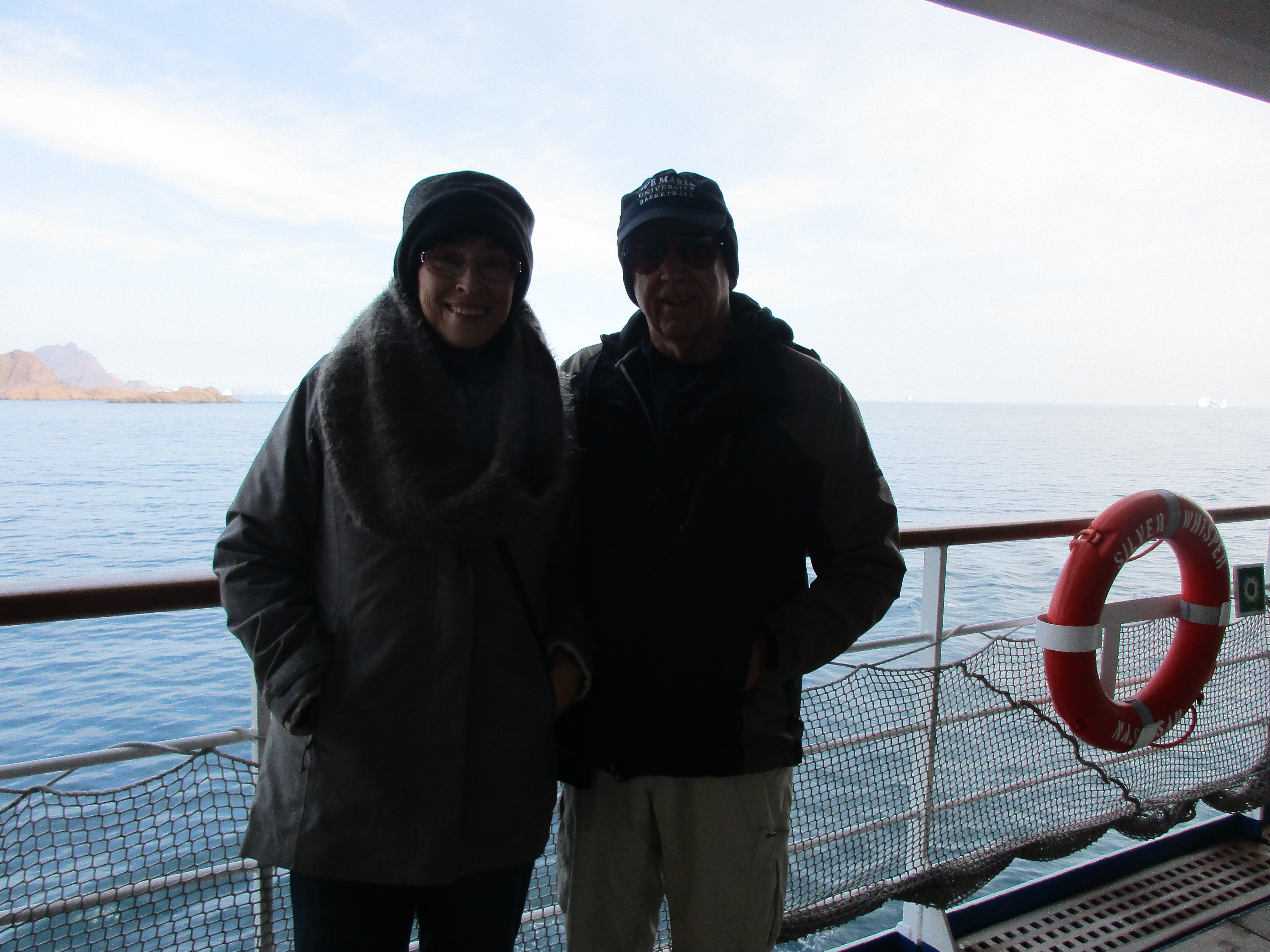
These are photos of us leaving.

Categories: Uncategorized | Leave a comment

Prince Christian Sound and Narsarsuaq, Greenland 🇬🇱 

Thursday, August 31 was a sea day of sorts.  Around 11 AM we entered Prince Christian Sound.  A sound is like a fjord but is open at both ends.  It is usually formed by glaciers eroding the land and the sea connecting.  Greenland is currently colder than it was when it was settled by the Vikings.  When they settled Greenland they were able to farm.  Now the people here can’t do that.  Greenland is not part of the EU, but has ties to Denmark.  The main exports are fish and animal skins.  There are vast mineral deposits, but because of the harsh conditions can’t be mined.

Greenland is the largest island in the world, it is a self governing territory of Denmark and has a population of only 56,000 people.  4/5s are native Inuit people.  It is mainly covered by an ice cap left over from the last ice age, 10,000 years ago.  In the north of Greenland it is too dry for much snow, but in the south of Greenland the snow is thickening the ice.  If all the ice here melted it would raise the sea level by ~23 feet.   

Early on for transatlantic travel, Greeenland was a stop for refueling.  The US had an Air Force base here in 1950s.  It no longer is in use, but the field is used for flights.  

On the 31st we had spectacular weather.  We were able to be out on deck viewing the fabulous scenery. 


After we left the sound we sailed for Narsarsuaq, a small town of 200.  On September 1, Michael and Bette did a boat cruise among icebergs and even went up the icefjord to see the glacier up close.  It was again a beautiful warm day.  When we got back we walked with Janice into “town”.  We learned that they get 10 cruise ships a year.  The airport will close in 2 weeks until spring.


Bob went on a hike, which was billed as moderate, but was not.


It was a few fabulous days as you can see from some of the photos. 

Categories: Uncategorized | 2 Comments

Blog at WordPress.com.