
The port of Lyttelton sits on the site of 3 dead volcanoes which died 6 million years ago. Lyttelton is the second largest port. The last big earthquake here was 10 years ago.
We drove through a 1.9 kilometer tunnel to get to Christchurch, which was established in 1850. In 2011 there was a large earthquake which destroyed 70% of the buildings in the town. 185 people lost their lives. It was 6.2 magnitude and threw the land upwards. A phenomenon called liquifacation happened – this is when the ground turns into “jelly” and sloshes around. To help the city rescue people, the United States sent $600 million in equipment that has been used in other instances of emergency rescues.
Although the country is in an economic recession, this part of New Zealand is growing. After the big earthquake many people moved away because they did not have the resources to rebuild, but now the area boasts a population of over 500,000. On our tour we saw many buildings still in need of repair, but most had been rebuilt and others hardened for earthquake protection. There are Red Zones, areas that are not built on because the land is not stable enough.
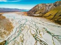
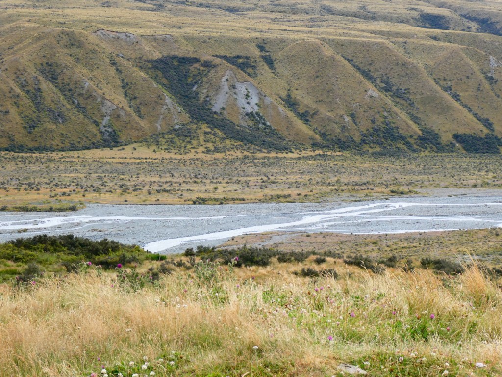
This area is famous for the greenstone, which is sacred to the Māori. We learned about the many braided rivers in this area of the country. They are 1 river that looked like it is many, with many small branches.
We passed through the Canterbury Plain, the largest flat area in New Zealand. This area hosts farms and ranches. The dairy cows here are all grass fed and produce very rich milk. Some of the milk is turned into powdered milk for export. In 2010 many of the leases for the sheep farmers came due. Most could not afford to purchase all the land they ranched, so they bought a portion and the rest was turned into conservation land.
We were headed to the Southern Alps. They are formed by the Pacific Plate , pushing up under the Australasian plate. They are about 8,000 feet on average with the tallest being Mount Cook at over 12,000 feet. This area has a major, 8 magnitude, quake about every 300 years. Our guide indicated that we were in the “50 year window”. The North Island has the only volcanos in New Zealand with 8 highly active.
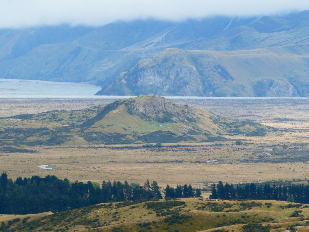
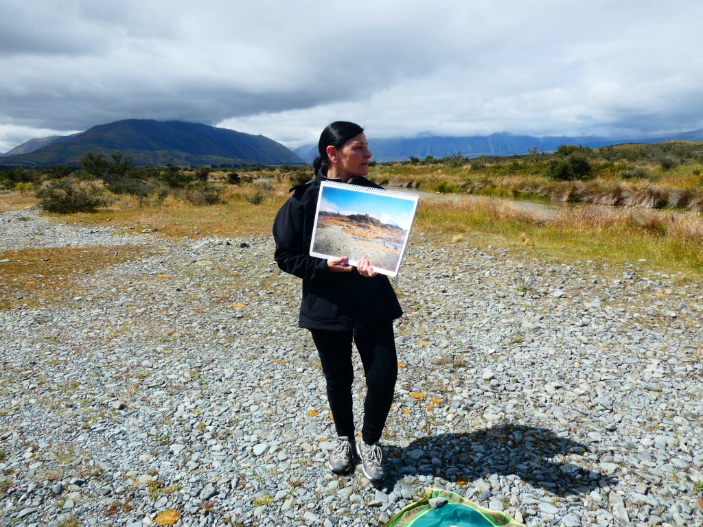
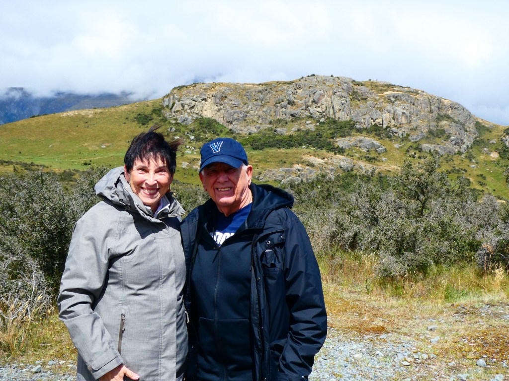
Our first stop was in Mount Somers for a rest stop and snacks. Our real objective was the filming site in the Rangatata Valley that was used in the second Lord of the Rings movie. They movie producers had to jump through many hoops to be able to use this land. It is conservation land and they had to put it back exactly as it was before they came to use it. They even unplanted plants that they took to a nursery and then moved them back after the filming ended.
The drive to the site was in beautiful landscape. When we got there our guide had photos of the filming site, but of course it was only scenic views that we saw.
Lunch was back in Mount Somers and on the ride back to the ship we saw several videos about the filming site, the actors and bits from the movie.


All very interesting!
LikeLike