
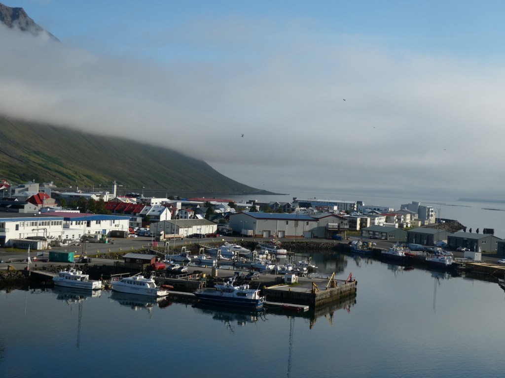
Our ship is docked in Akureyri, but our tour took us way out of the immediate area. Akureyri is known as the northern capital of Iceland. On our way here, the evening before, we crossed the Arctic Circle. The city is at the end of the Eyjafjördur and is surrounded by mountains. The city was founded by the Viking Helgi Magritte Hrólfsson in the 9th century. In the 17th century it developed as a Danish trading post. Akureyri is the second largest city in all of Iceland and has a mild climate and an ice free harbor.
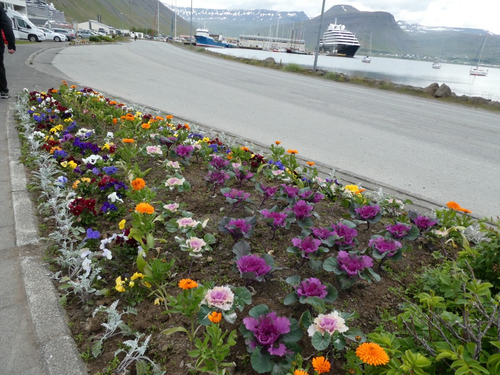
Some of the many museums in town have documents of the written history dating back to 1582. The area is a haven for wildlife. All the red lights in the city are heart-shaped ❤️. The roads were lined with the Alaskan lupine which is used for medical treatment as well as keeping the soil in place.
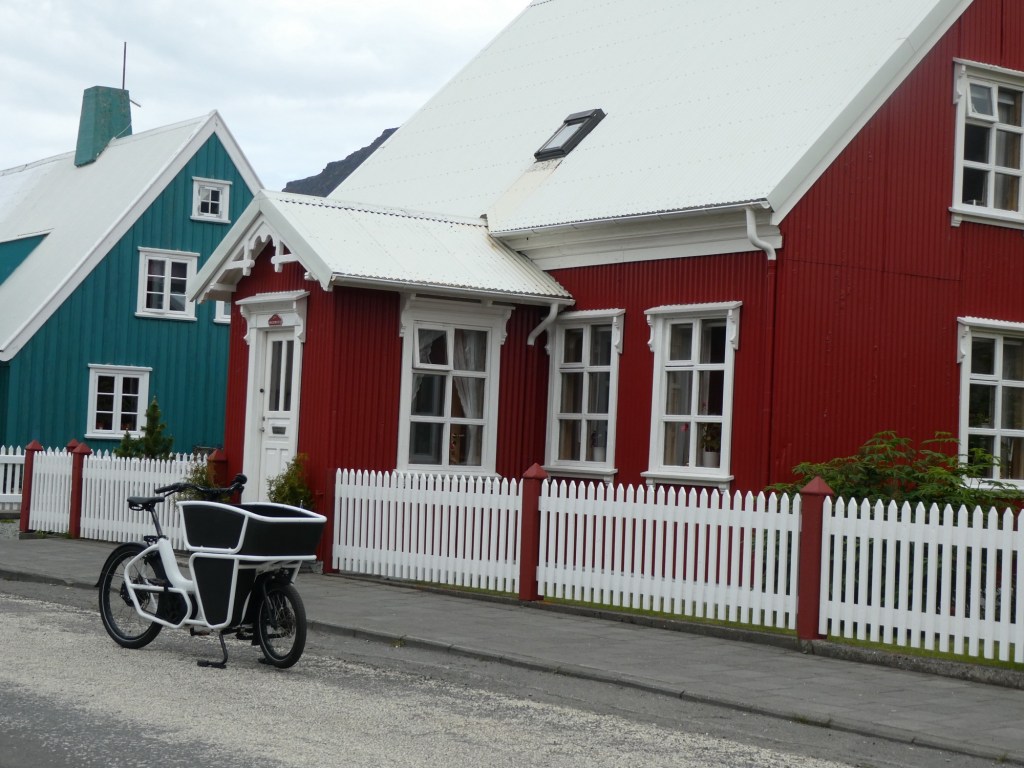
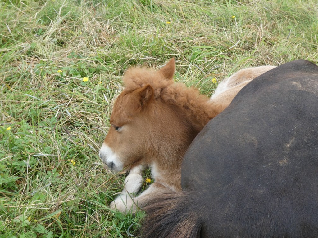
In the early times most of the houses were turf houses because wood was scarce. The people farmed. The workers were paid once yearly with a cow. Once you had 3 cows you could leave the farm and create your own farm. Most people grew all the food they needed and raised sheep. The Icelandic sheep have two different coats: the top one is coarse and is used to make blankets and the inner one is very fine and used to make softer goods. The Icelandic horse is unique to Iceland and has 5 gaits as to the usual 4 of all other horses. They are pure here and if one is sold and leaves Iceland it can never be returned.
To leave Akureyri we drove through a 7 kilometer long tunnel. Because of the geothermal activity in the area the tunnel is very warm and in the winter people come here to melt the ice from their cars, to run and bike.
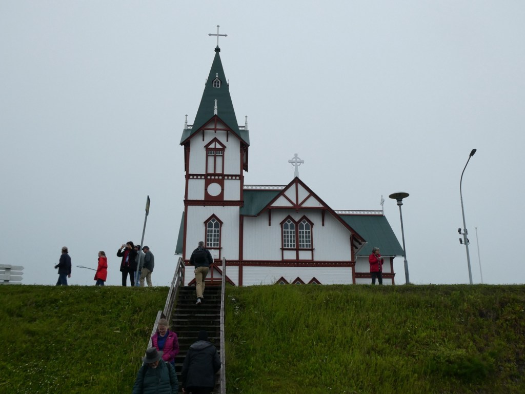
Our first stop was in Hüsavik, a fishing village and whale watching center of activity. We used it as a rest stop and to stretch our legs. We then went to a restaurant that was totally isolated for an early lunch. We had pumpkin soup and Arctic char for our lunch. It was surprisingly good for this remote location. I must mention that although we had been driving for just over an hour, the scenery was amazing to see. We saw volcanic fields of lava, farms with already harvested hay wrapped in plastic for the winter, areas of lush green grass, areas of wild brown grass, lakes and rivers beyond belief.

After driving we came to a river that had been part of the ice age erosion of this area. The waters and shores were filled with many rocky formations. Its name is Landavatnshöði. We had to walk on gravel paths to get to it.


On our way to the next stop we passed another area where we could see the rift.

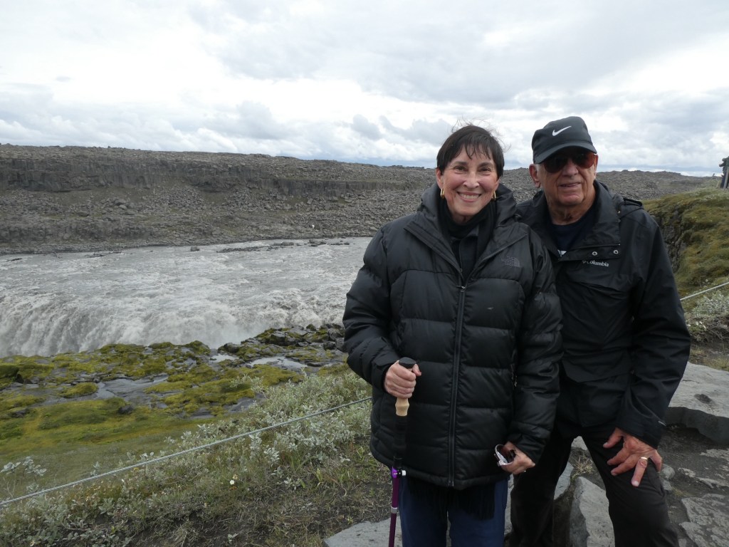
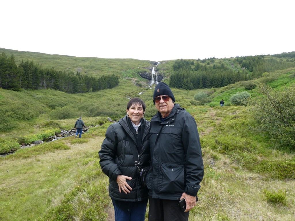
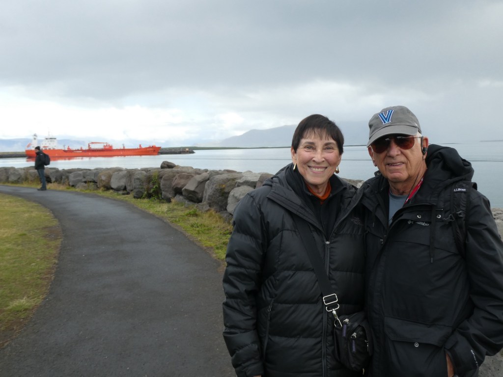
Our next stop was the highlight of the trip – Dettifoss, a huge waterfall. It is 100 meters wide and 45 meters high. The water flows at almost 6200 cubic feet per second. We walked to 2 different viewing points. The trails were gravel and in some areas very rocky. In the area where the picture of us was taken we were being hit by spray from the falls.


We passed sulfur mountains where sulphur was mined and some hills that were red from iron.
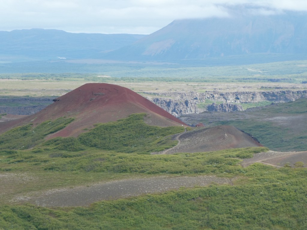
Our last stop was at the “Grand Canyon” of Iceland. It was formed by 2 huge floods of lava, water and soil. The first happened 10,000 years ago and the second 3,000 years ago. It was interesting to see but not as grand as our Grand Canyon in Arizona.


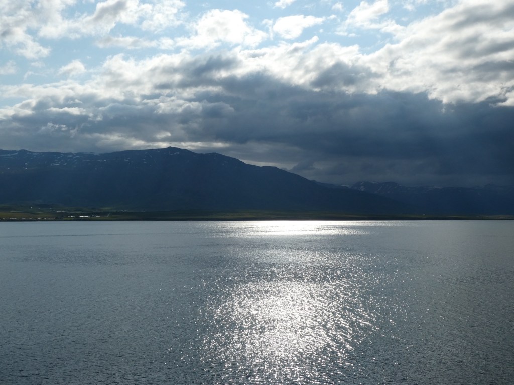
We have not had any sunsets on this cruise, because most nights it is setting around midnight. We are in the time of year of the “white nights” or “land of the midnight sun.” Last evening I did get a photo, not a sunset but nice light on the water. We have been lucky with the weather and although it has been cold for us, we have mostly had only cloudy skies and just drizzle but not real rain.


Recent Comments