Uncategorized

Melbourne, Australia

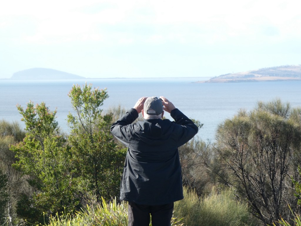
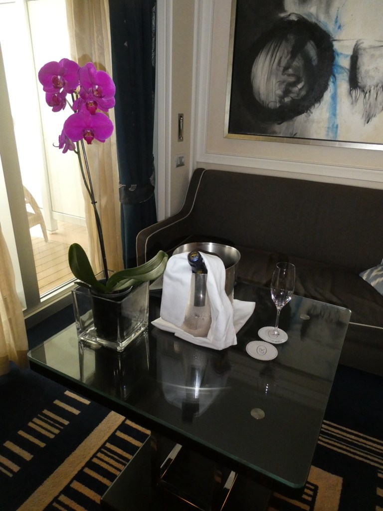
We have 2 days in Melbourne, with our ship overnighting. The first day was clear and hot, 104 degrees. The second day was smoky from fires north of Melbourne, but with the temperature around 75 degrees.

Melbourne is the largest city in Australia with a population of 5.3 million, established in 1835 by the British. The city boasts over 200 nationalities. The Aboriginal people have over 60,000 years of history in Australia with the thinking that they came originally from Africa, passing over many land bridges which have subsequently disappeared by the melting of ice after one of the ice ages.

The city had its big boom in 1851 when gold was discovered 100 miles from Melbourne. Since Melbourne had a good port, it became the entry way for the miners. It was the biggest discovery of gold in the world.

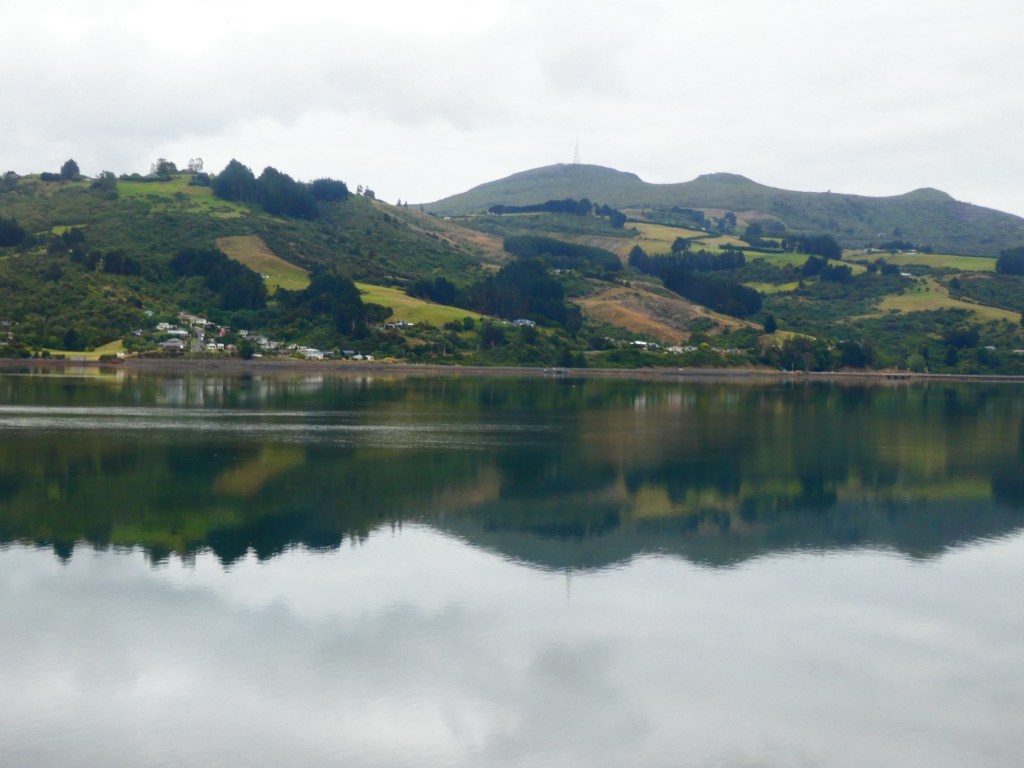
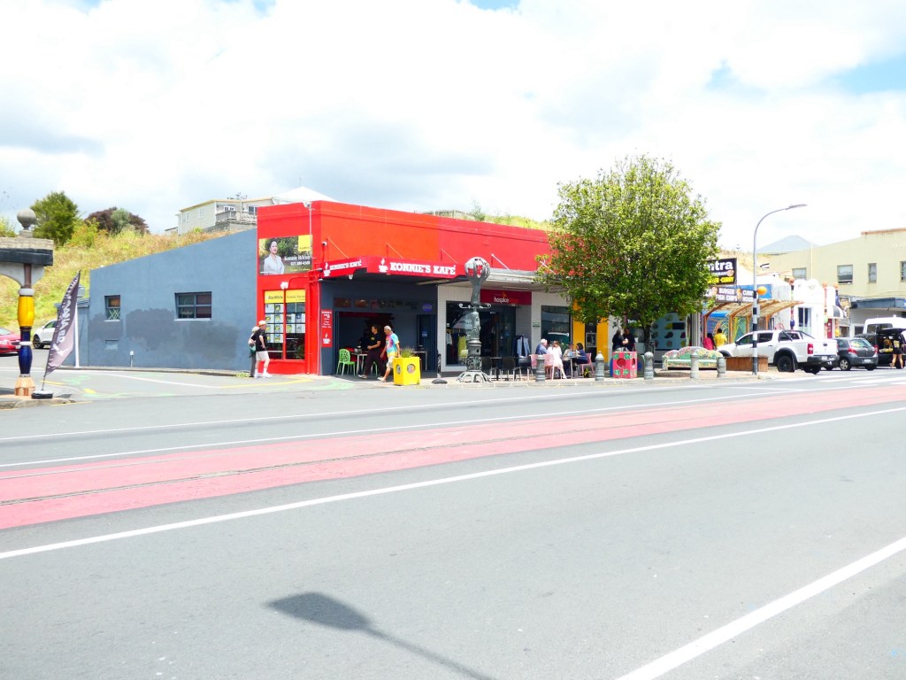
In the 1950s immigrants came to Melbourne from Poland and Russia. They settled in an area called St. Kilda, which is along the coast. The beaches in this area are clean with no danger from sharks. Actually this part of Australia has very little or any sharks. The building have lots of iron work decorations, sort of like in New Orleans.

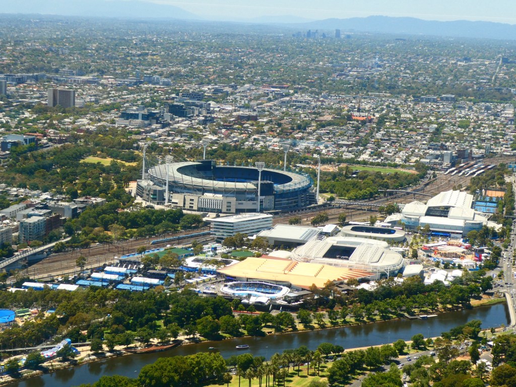
The city has areas set aside for sports, museums, arts and finance. They were getting ready for their Formula 1 Grand Prix in March and we were able to drive the course in our bus, not very fast. When we were in Melbourne, the Australian Open was being held and we drove past the stadiums.

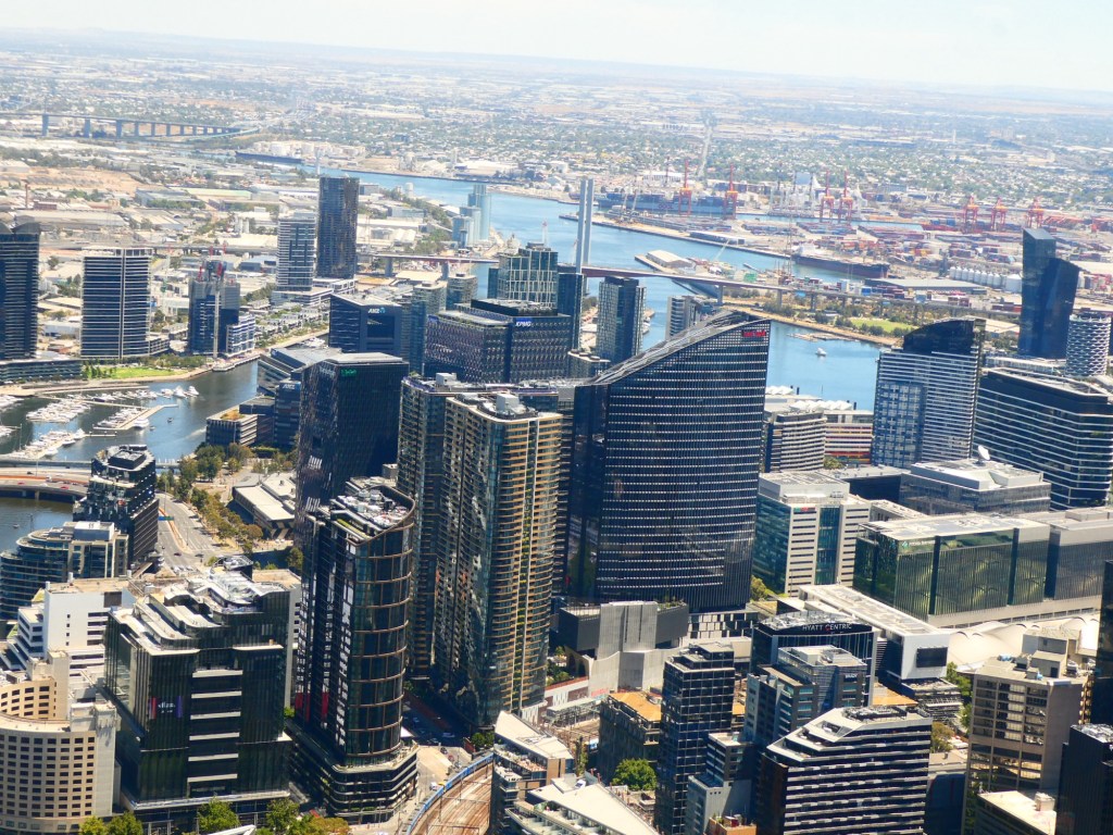
One of our visits was to the Eureka Tower, so named for a rebellion during the gold rush. This is considered the birth of democracy in Australia. Australia was also the second country in the world to give the women the right to vote. It is a 91 story residential building, but on the 88th floor they have an observation deck. The views of the city were great.

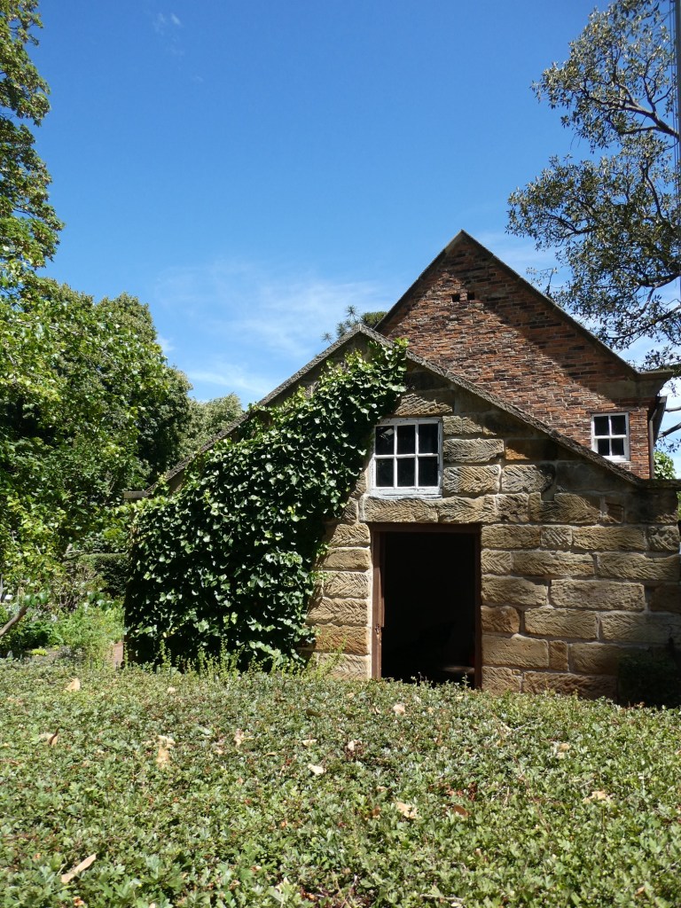
The city boasts many forms of architecture and they are very careful to preserve their older building to not lose the heritage of the early people who came here.

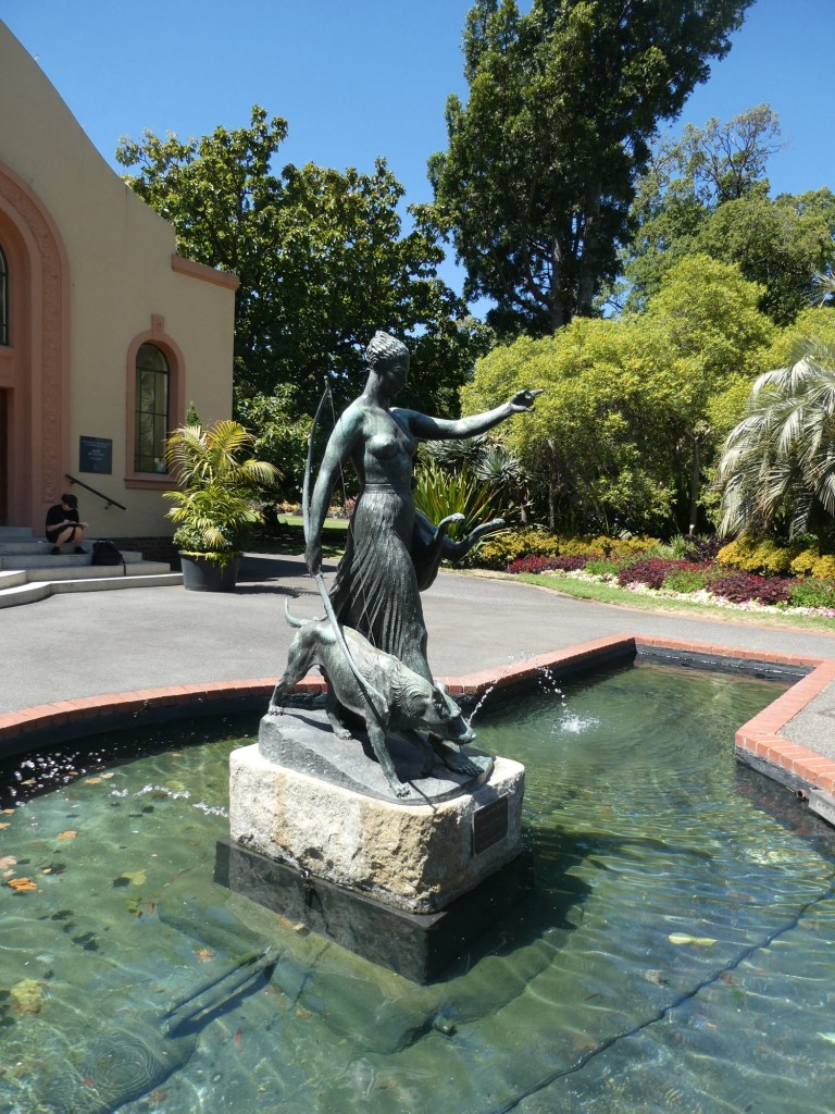
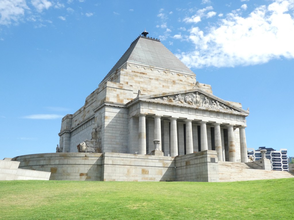
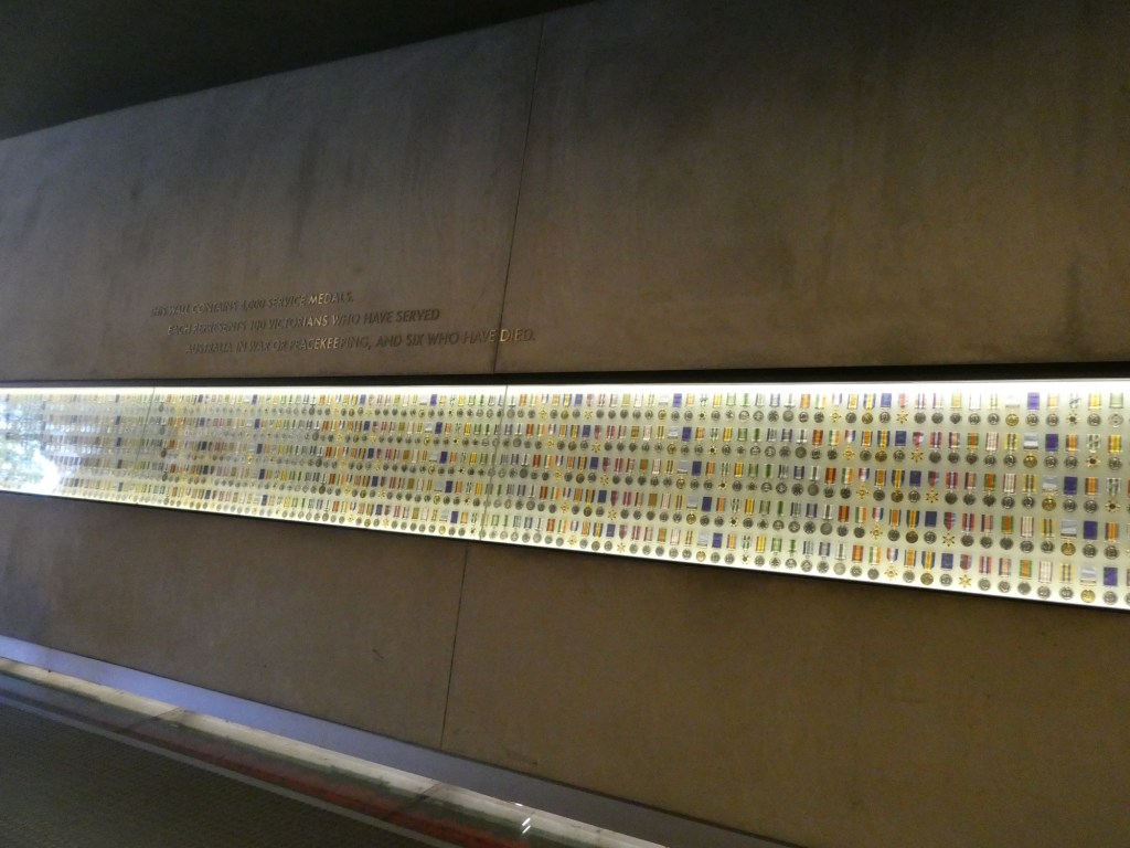
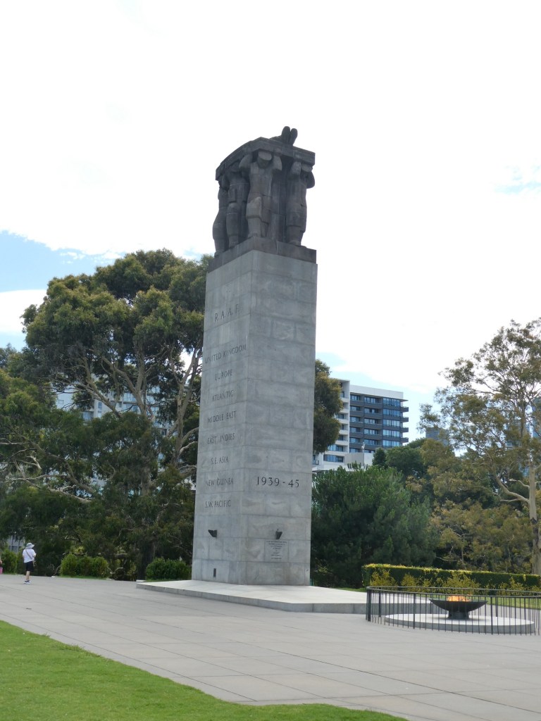
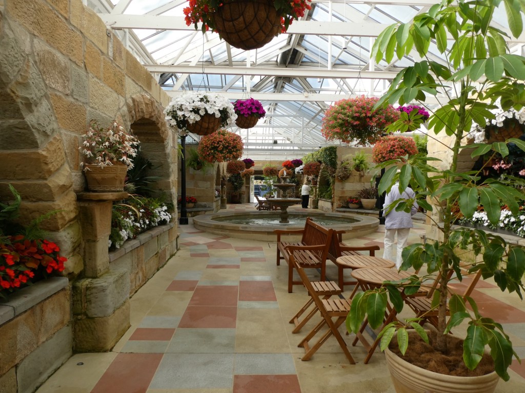
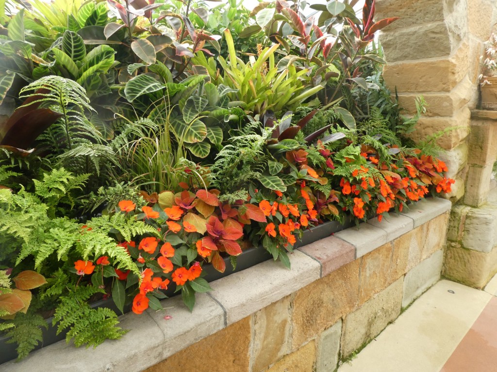
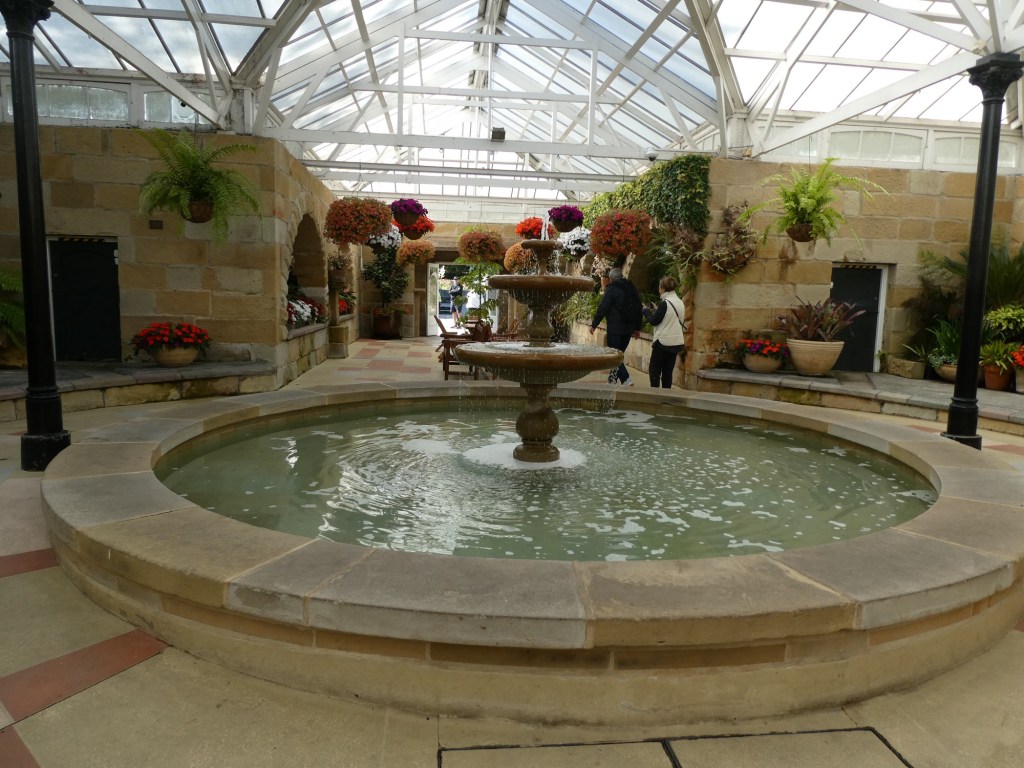
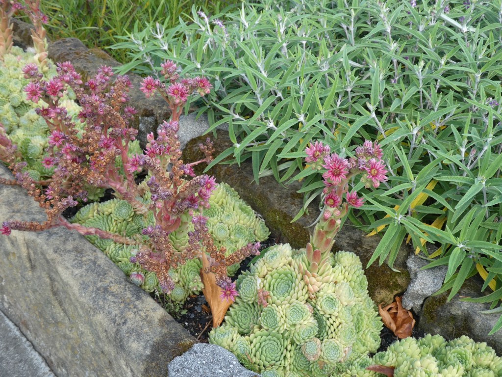
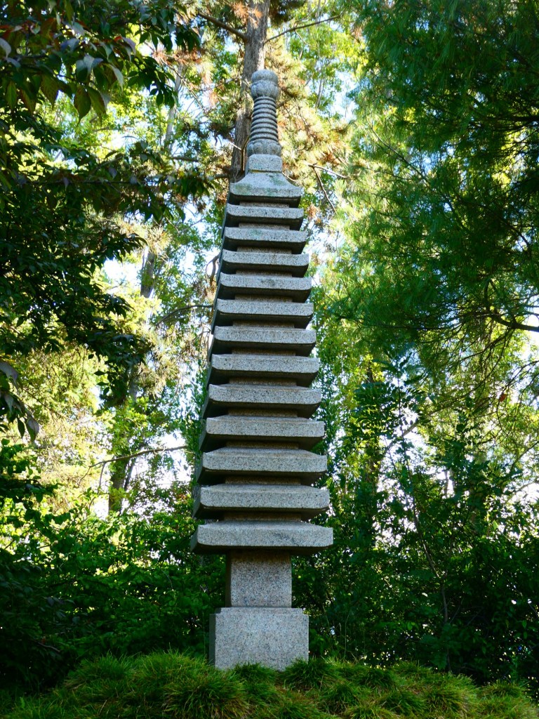
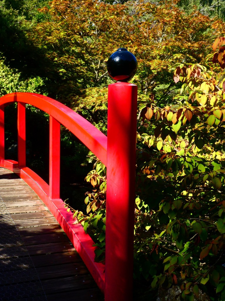
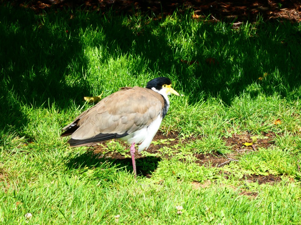
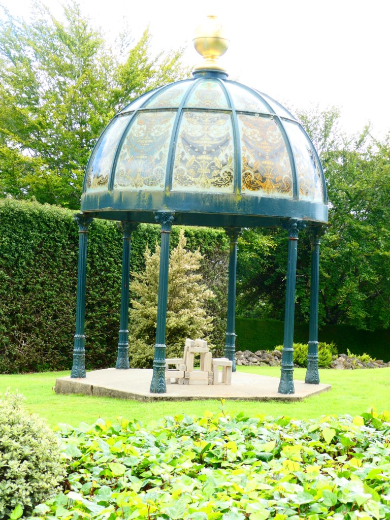
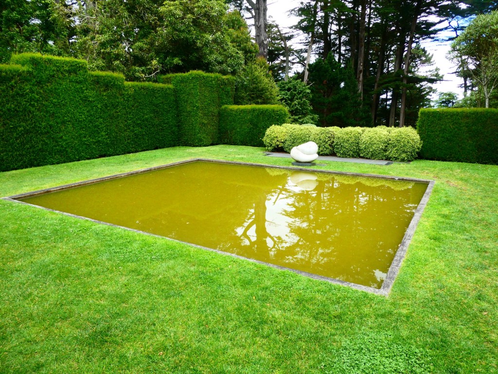
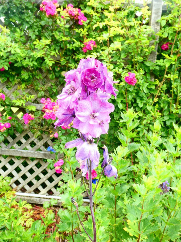
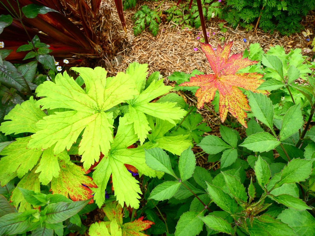
They call themselves the garden city and we went to Fitzroy Gardens that were established in the 1840s. When we visited the Shrine of Remembrance, the Royal Botanical Gardens were across the street. When the city was planned there were many green spaces designated.

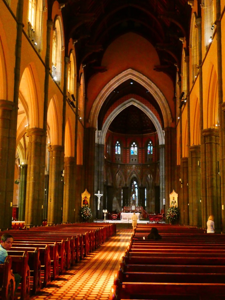
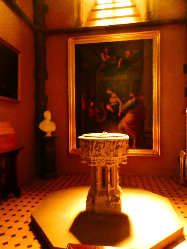
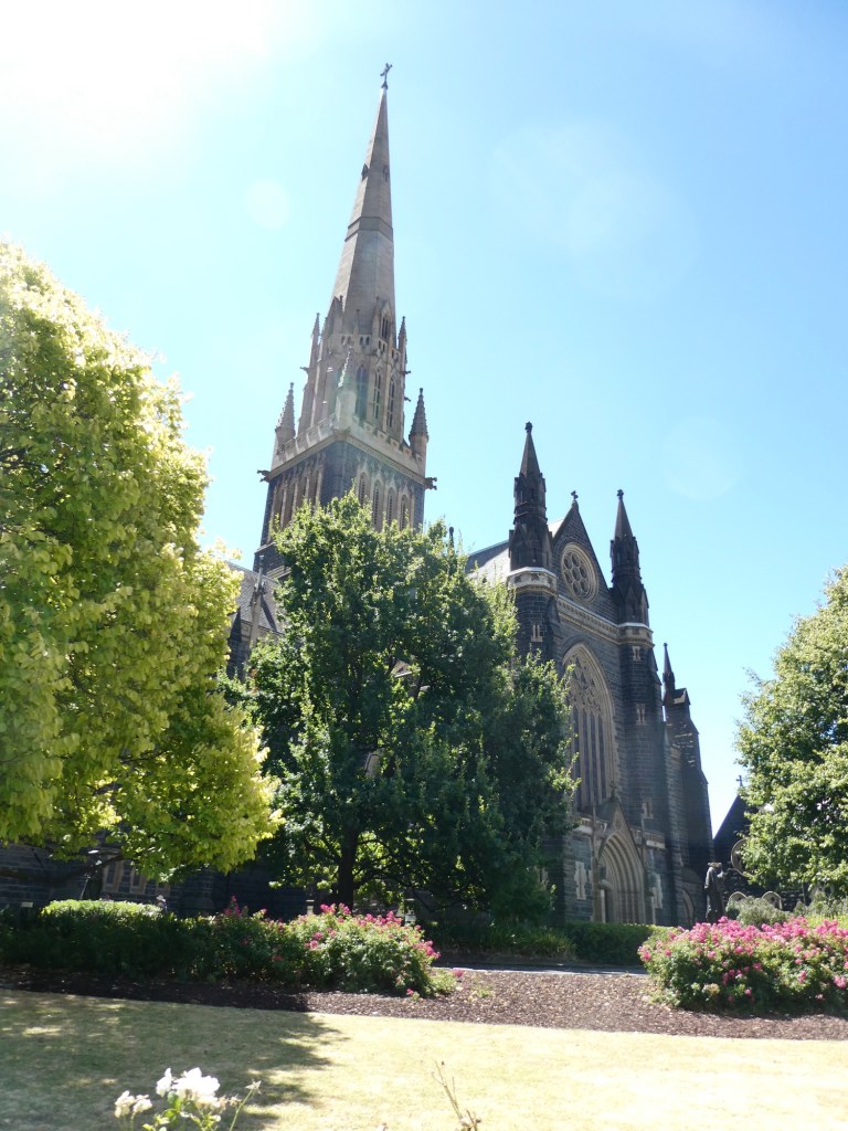
We also had a visit to St. Patrick’s Cathedral. The building was started in 1856, and took 80 years to complete. It was built entirely with no government funding.

One very interesting facts we learned was that it is compulsory to vote in elections. If you don’t you are fined. Prior to Covid all voting was done in person, but now there is the option to vote by mail as well as early voting in person.

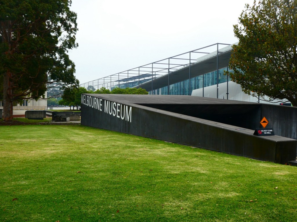
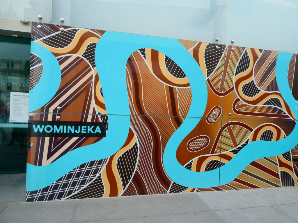
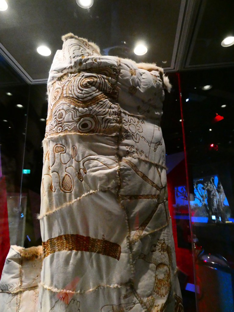
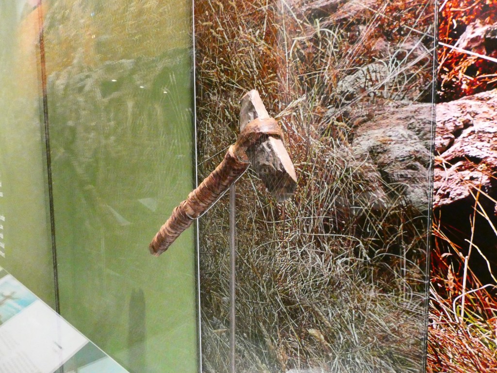
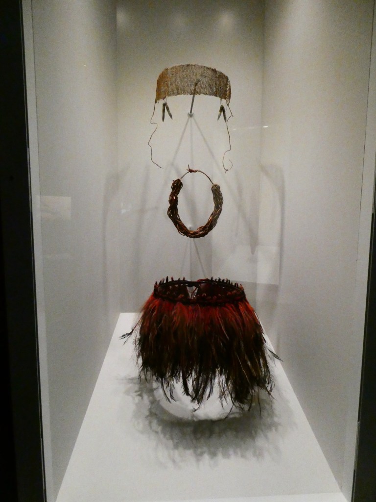
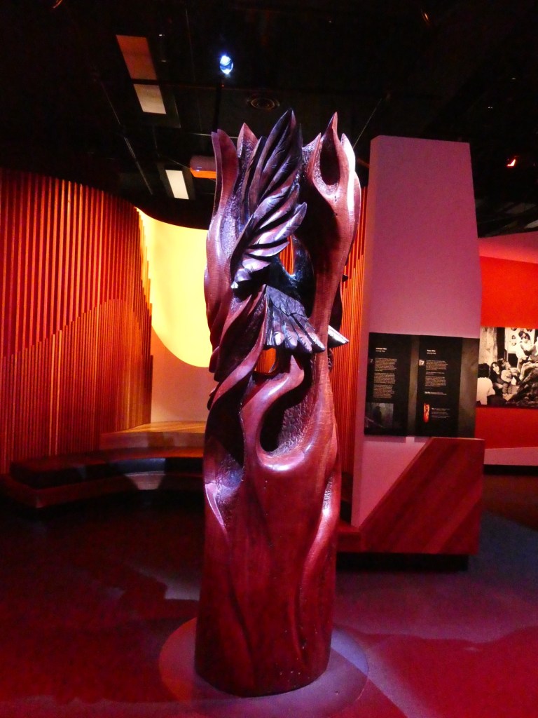
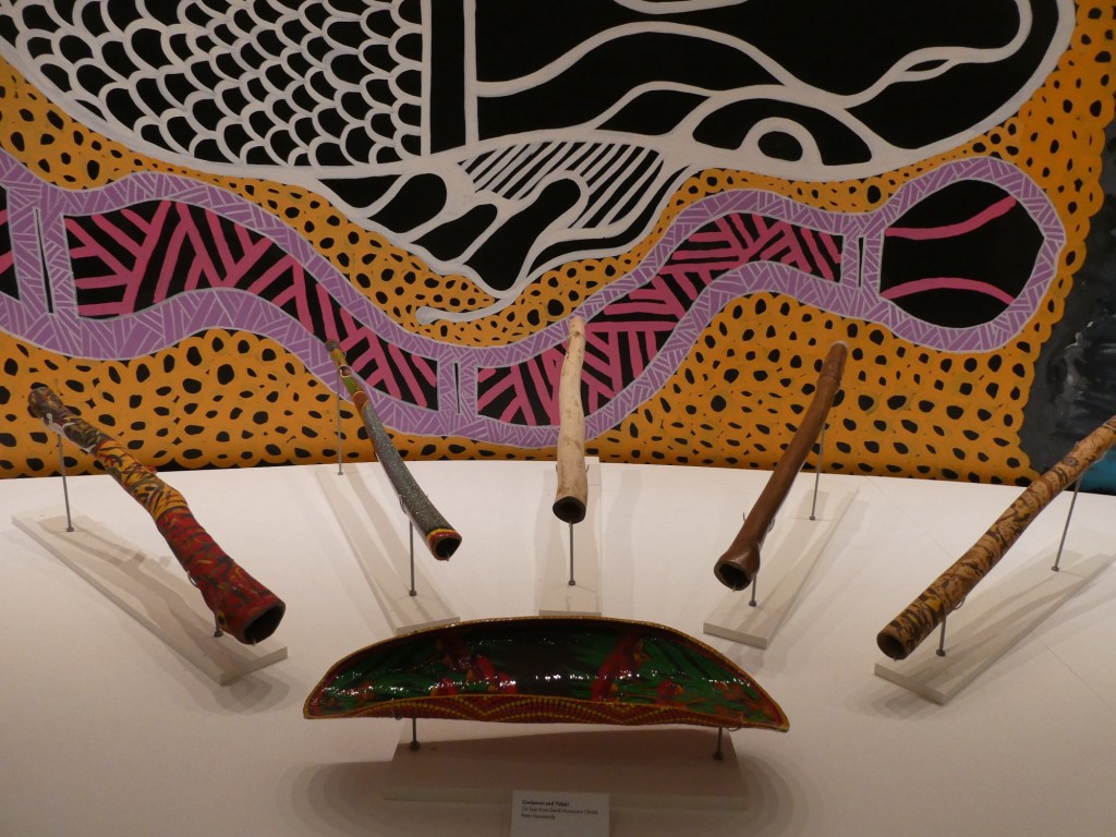
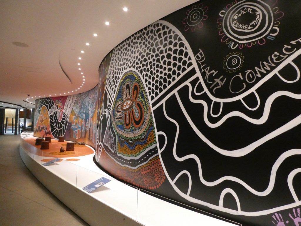
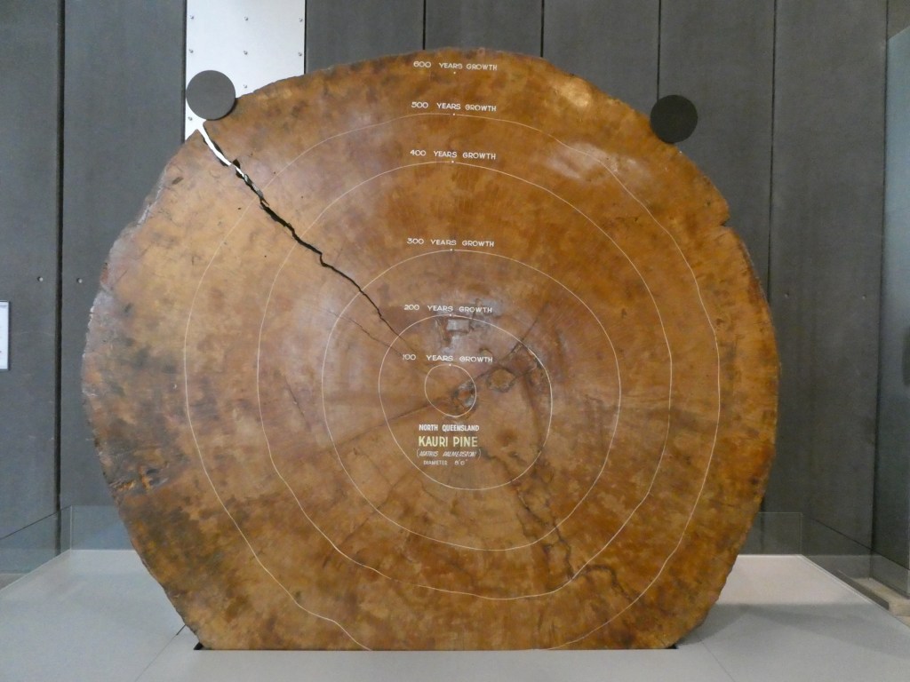
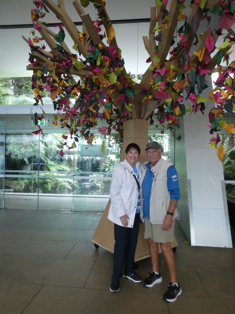
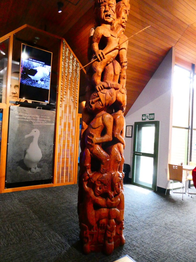
On our second day we went to the Melbourne Museum. The building was beautiful and although our time was limited, we saw an excellent exhibition about the Aboriginal people.

The tennis complex from 88 stories
St. Patrick’s Cathedral
Fitzroy Gardens
Captain Cook’s cottage in the Gardens
The Fairy Tree
The Shrine of Remembrance
A wall of 4000 metals
The entrance to the museum
An opossum wrap
A very old hatchet
A carved totem
A Kauri Tree, about 600 years old when felled
Under a tree in their “paper tree” forest, the origami leaves were made by children visiting the museum

Categories: Uncategorized | Leave a comment

Hobart, Tasmania, Australia

Hobart, the capital of Tasmania, is located at the southern most tip of the island state. It was the first European settlement on Tasmania in 1804. The population of Tasmania is about 573,000 with 190,000 in Hobart. The city has many historic sandstone buildings, which is a testament to its heritage. The city is located on Sullivan’s Cove which is a deep port.

The city has an active fishing fleet which is located in the city center. Much of the land in the city center is reclaimed land. In the 1970s heritage protection laws were passed to keep the old buildings from being torn down. Now they have been refurbished with traditional exteriors kept.

In 1836, Charles Darwin came to this area. Hobart lies in the shadow of Mount Wellington which puts it into a rain shadow – the rain falls on the mountain or on the back side, but not much falls in Hobart.

Almost all of the electricity on the island is from hydroelectric or wind power. 80% comes from hydroelectric from the lakes and dams on the west coast of Tasmania. 20% is wind power. They actually produce enough electricity to supply some to the mainland of Australia.

The Derwent River flows through the Hobart area. It is the 3rd largest natural waterway in the world. Abel Tasman arrived in this area in 1642. He had 2 ships and named the land for his employer, but subsequently the island was named for him, as was the waters between Tasmania and New Zealand. We actually sailed the Tasman Sea for the 2 days it took to get from New Zealand to Tasmania. The waters of the Tasman Sea are usually somewhat rough. They did not disappoint 😉

The island does not have any heavy industry. They farm, growing apples and stone fruits. They are famous for their alcoholic ciders. They also have a small wine industry, but do not export the wine.

Tasmania is the most mountainous of all the states of Australia. 334 islands make up Tasmania.

The major population growth came when Tasmania was used to keep convicts from England. They were sent here and had the ability to “work off” their sentences. While doing this, they built roads and infrastructure and most ended up staying after their sentences ended. They had learned valuable skills and had become part of the local communities.

As we were leaving the ship there was this rainbow

42% of the land is protected. However, they have valuable minerals in these areas – copper, gold, silver, lead, zinc to name a few. Some of the old mines are now being reopened because current mining ways are more efficient than before and there is still valuable metals in the slag piles left by the old mines.

Our excursion took us to Rosny Hill Lookout. This was across the river from Hobart and gave us a view of the whole city. We then went to the Royal Tasmanian Botanical Gardens. We had a walking tour to see the gardens. We even went into an ice house which had plants that grow in the coldest climate.

Our final stop was at the top of Mount Wellington. The mountain actually creates its own weather. As we approached it was foggy and rainy at the top of the mountain. However by the time we reached the top it was clear, but very cold and windy. The mountain is 4,170 feet and 650 million years ago it was at the bottom of the sea. It was pushed up by magma and has slowly eroded to its current height. There are basalt columns across the face of the mountain.

Rosny Hill Lookout, Hobart in the background and behind Hobart Mount Wellington
Conservatory at the gardens
From the Japanese Garden
Top of Mount Wellington
From the top of the mountain

Categories: Uncategorized | Leave a comment

Awe-inspiring Fiordland: New Zealand’s Crown Jewel

New Zealand is renowned for its fantastic landscapes and among the best are its “sounds”. These deep narrow inlets of the sea offer a unique blend of rugged beauty and tranquility. Fiordland National Park is a UNESCO World Heritage Site in the southwest corner of New Zealand’s South Island. The sounds were carved over millennia by glaciers. The sounds have dramatic scenery, including tall mountains, lush rainforests and the deep U-shaped fiords themselves.

We spent the whole day cruising into and through 3 of the most famous ones. After several very cold and sometimes rainy days we were treated to a beautiful blue sky day.

Dusky Sound: the largest of the fiords, Dusky Sound is a haven for wildlife, and the habitat for the Crested Fiordland penguin, which is endangered.

Doubtful Sound: deeper and quieter than Milford, it offers a more intimate experience with nature. Its waters include dolphins, seals and penguins. It is often called “The Sound of Silence”.

Milford Sound: often called the 8th wonder of the world. It is the most famous of the fiords with sheer cliffs and waterfalls and reflective waters. This area is home to some of the oldest plant species in New Zealand, including groves of Southern Beech trees that are almost 1,000 years old.

It was a lovely day and we were so blessed by the fantastic weather. I am including some photos, but the camera can not do justice to what the eye has seen.

Seals

We now start 2 days at sea as we sail for Tasmania and Australia.

Categories: Uncategorized | 1 Comment

Dunedin (Port Chalmers), New Zealand

Dunedin is on the South Island, on the southeastern coast. It was established in 1848, by people from Scotland who were trying to get away from the harsh beliefs of their Presbyterian church in Scotland. The leader who brought them to New Zealand was Reverend Chalmers. They were looking for 5 things in the land: fresh water, coal and lime, good soil, a good port and 7 hills. These requirements were based on the fact that they wanted to have a place that reminded them of where they were leaving and that was Edinburgh. They were able to purchase 14,000 acres for 1 cent an acre from the native Māori.

The people were promised free health care and free education and that promise has been kept to current times. The cost to come was 17 pounds a person. The first ship arrived on March 27, 1848. Dunedin did not become a city until 1865 and had a great inflow of people in 1861 because of the discovery of gold in the area.

The first medical school was here and until 1969 was the only one in New Zealand. They also have the only dental school in the country. The University of Otago is here with about 22,000 students. It is one of the prime industries in this city. There is a lot of street art in the city but no graffiti. In olden days they built locomotives here and there is a big rail museum.

The first ship actually had a pre-fab school house in the hold. Currently, if you graduate from college here, the government will pay the costs of your last year which is about $15,000NZD. Of the total student population 88% are not local, and 12% are not from New Zealand.

Our guide told us that this area is the wildlife capital of New Zealand with seals, sea lions, blue penguins, yellow eyed penguins, sea gulls, albatross, black swans, oyster catchers to name only a few.

There is only one tribe of Māori on the South Island. Our objective was to see the Royal Albatross. After eggs are laid they are incubated for 80 days with both the male and female on the nest alternatively. Most times one is on the nest for 3 or 4 days while the mate is out searching for food. Then that bird comes back and takes over the nest and the other bird goes off to feed.

It actually takes about 5 days for the baby bird to hatch. They fledge after 7.5 months. These birds only lay 1 egg every two years. The birds return to mate to where they were born and they mate for life. Once the birds fledge they fly to Chile and stay there for approximately 5 years to mature. When they are 5 or so, they return to New Zealand to mate and reproduce. The average breeding age is 7.

We were at a conservation center where they have protected bluffs for the birds to nest. We were in a small glass blind and were able to observe about 8 birds on nests. The other birds were over the cliff edge or farther away and we could not observe them. There is a set of islands off the coast, farther south, Chatham Islands and there are about 25,000 nesting pairs there.

The train station in Dunedin
Oops, same photo 😞

After our time at the albatross center we headed to Larnach Castle. The story about the family who built it was interesting to hear, but way too complicated to write. Here is a link to the history if you are interested.

https://www.larnachcastle.co.nz/about-us/history

We had a tour of the first floor of the castle, really a very large home and then lunch in the Ballroom Cafe. The house took 3 years to build and sits on 1,000 acres of land which was purchased by William Larnach for 1 shilling an acre. The house was built for his wife, Eliza. It was very far from the town of Dunedin, taking 4 hours round trip in the late 1800s when the family lived there. Mr. Larnach was a banker, then a shipping company owner and finally a politician becoming the Treasurer of New Zealand. Unfortunately his business ventures did not work out well and he went bankrupt and killed himself.

The house was very ornately decorated with all the wood hand carved and unique. The gardens around the house were very nice as well.

Intricate wooden ceiling
Fancy tile work on the floor
In the garden overlooking the water
From the castle looking back to Dunedin

When we sailed away we were able to see the albatross sanctuary from the water. Not sure if the bird I photographed was an albatross or not.

A pleasure boat with lots of birds feeding around it

Categories: Uncategorized | 1 Comment

Lyttelton (Christchurch), New Zealand

The port of Lyttelton sits on the site of 3 dead volcanoes which died 6 million years ago. Lyttelton is the second largest port. The last big earthquake here was 10 years ago.

We drove through a 1.9 kilometer tunnel to get to Christchurch, which was established in 1850. In 2011 there was a large earthquake which destroyed 70% of the buildings in the town. 185 people lost their lives. It was 6.2 magnitude and threw the land upwards. A phenomenon called liquifacation happened – this is when the ground turns into “jelly” and sloshes around. To help the city rescue people, the United States sent $600 million in equipment that has been used in other instances of emergency rescues.

Although the country is in an economic recession, this part of New Zealand is growing. After the big earthquake many people moved away because they did not have the resources to rebuild, but now the area boasts a population of over 500,000. On our tour we saw many buildings still in need of repair, but most had been rebuilt and others hardened for earthquake protection. There are Red Zones, areas that are not built on because the land is not stable enough.

This area is famous for the greenstone, which is sacred to the Māori. We learned about the many braided rivers in this area of the country. They are 1 river that looked like it is many, with many small branches.

This is from a picture I found online to give a visual of a braided river.

We passed through the Canterbury Plain, the largest flat area in New Zealand. This area hosts farms and ranches. The dairy cows here are all grass fed and produce very rich milk. Some of the milk is turned into powdered milk for export. In 2010 many of the leases for the sheep farmers came due. Most could not afford to purchase all the land they ranched, so they bought a portion and the rest was turned into conservation land.

We were headed to the Southern Alps. They are formed by the Pacific Plate , pushing up under the Australasian plate. They are about 8,000 feet on average with the tallest being Mount Cook at over 12,000 feet. This area has a major, 8 magnitude, quake about every 300 years. Our guide indicated that we were in the “50 year window”. The North Island has the only volcanos in New Zealand with 8 highly active.

Our first stop was in Mount Somers for a rest stop and snacks. Our real objective was the filming site in the Rangatata Valley that was used in the second Lord of the Rings movie. They movie producers had to jump through many hoops to be able to use this land. It is conservation land and they had to put it back exactly as it was before they came to use it. They even unplanted plants that they took to a nursery and then moved them back after the filming ended.

The drive to the site was in beautiful landscape. When we got there our guide had photos of the filming site, but of course it was only scenic views that we saw.

Lunch was back in Mount Somers and on the ride back to the ship we saw several videos about the filming site, the actors and bits from the movie.

My attempt to photograph a braided river
Our guide with a photo of what the site looked like during filming
Lots of wind
Categories: Uncategorized | 1 Comment

Wellington, New Zealand

Wellington, New Zealand’s capital sits at the southern tip of the North Island. It is the second largest city in New Zealand. It has a vibrant cultural scene and is the center of Wellywood, the movie industry. The people of this area have a good sense of humor calling their rugby stadium, the cake tin and their parliament building, the beehive, because they look like a cake pan and a beehive. 😉 The city of Wellington sits on 8 fault lines, 3 of them major and they have 50 to 80 earthquakes a day. Of course they are very minor shakes. Wellington is also the windiest city in the world with daily winds over 50 mph not unusual. It is also the southernmost capital city in the world, being moved here in 1869. In 1820 when the city was first established it was patterned after San Francisco because of all the hills it was built on. There are 152 small private cable cars that take people up to their homes.

Our tour was to see some of the sites used for the filming of the 3 Lord of the Rings movies. We first went to the top of Mount Victoria for a view overlooking the city. Unfortunately, we had a very windy and rainy day, so our views were not great. We then went to one of the main parks in the city. There are actually 2 which surround the city like commas providing lots of green space. The one we went to was heavily forested and we walked around, seeing many of the sites where the LOTR movies were shot. Our guide had photos of scenes from the movies and we stood in places the filming had taken place and he explained how the scenes were shot.

Wellington in the rain
The “famous” U tree from the movie

We learned a lot about the movie industry in Wellington. It is a 3.5 billion dollar a year enterprise. Sir Peter Jackson, who was the person who did LOTR, put this part of New Zealand on the map. He had produced small budget horror movies before he tackled LOTR. It was the first time that multiple movies were made at the same time. In order to do this, they had many local people who left their regular jobs and used their skills, carpenters, painters, woodworkers, etc, to work on the films. Currently the small town of Miramar is the headquarters for his company, Stone Street Studios. They can do everything that needs to be done for a movie, from prework to all the final production needs. The work on these films started in 1996 and ended in 2003.

Our next stop was at WETA Workshop. This was a small company founded in Miramar by a young couple, Richard Taylor and Tania Rodgers. When Peter Jackson first came to them to do special effects and manufacturing of props the company only had 30 employees. As they ramped up to do the movie they had over 200 employees. They did all the props, prostheses, costumes and anything else that was needed for the films. We could not take photos on our tour, but we saw some of the original props and learned how they were made. It was a great tour.

In the lobby of Weta Workshop
Production extras 😉

Here is a link to their webpage with interesting information and pictures. https://www.wetaworkshop.com/

It was a fun day, even for someone who did not see the movies.

Categories: Uncategorized | Leave a comment

Napier, New Zealand

Napier is a city on Hawke’s Bay on the eastern side of the north island of New Zealand. The entire city was rebuilt in the Art Deco style following an earthquake in 1931. These buildings are the best collection of Art Deco buildings on the planet. Our guide, Jan, wanted to know if there were any people from Miami (should have asked about Miami Beach) where there is a very large collection of Art Deco buildings. The area is a big wine producing area. Our tour was to see the world’s largest colony of gannets – a sleek, White Sea bird known for its diving fish catching technique.

Napier is a major shipping port for lumber. Before Covid, 3 million tons of lumber went from this port. It is starting to get back to those numbers now.

Lumber awaiting loading on cargo ships

The 1931 earthquake destroyed not only Napier, but the town of Hastings too. The towns are about 7 miles apart. The earthquake raised the land along the shoreline, adding 1,000s of feet of land. The wooden buildings in the town mostly survived, but any that were built of masonry did not. It took only 2 years for the city to rebuild. Although the buildings were built in the Art deco style, it was not until 1960, that they realized what a treasure they had and preservation began then. Our guide told us that in a few weeks they would have a huge art deco festival, with people dressing up in clothes from the 30s, old cars, parades and old plane flyovers.

We drove through a few small towns to get to the entrance to the gannet area. We had to drive through privately owned land. The family had owned this property for 6 generations. They have sold some and currently only manage 2,000 acres. They have recently added a golf course and high end hotel, about $4,800NZD a night. They still farm, raise cattle and timber.

The gannet colony on Cape Kidnappers is the largest that can be easily accessed. There are about 20,000 birds in the area. There were 3 different sites we could see, 2 down below the cliffs, and one on the top of the cliff. The males return in July and August and start to dig a bowl shape to start the nest. When the females return, the males will use seaweed to drape around them as part of the mating. The new birds are hatched in November and December and by April the birds leave. We saw adults, some of the younger chicks which were white fuzzy birds and the juveniles which were speckled. Our guide told us that the juveniles would be fledging in the next month or so. These birds feed only on fish and dive deep, up to 100 feet, to capture their food. The first flight the birds make take them to Tasmania and other islands off the coast of Australia. When they leave they stay at sea or in the air until they return to nest in New Zealand.

Birds as far as the eye can see
Another colony below the big one on the cliff
The lighthouse

We also learned why the place is called Cape Kidnappers. Apparently when Captain Cook landed in this area around 1769, he had a dark skinned cabin boy that the Māori thought had been “kidnapped” and rescued him. When they found out he was with the ship willingly he was returned but the waters were named Cape Kidnappers.

It was really a very interesting day.

Dinner at Prime 7, the steakhouse on our ship
Categories: Uncategorized | Leave a comment

Tauranga (Rotorua), New Zealand

Tauranga is a city on the shores of the Bay of Plenty. The population of Tauranga is about 63,000. The actual harbor is huge, covering 117 square kilometers. The water year round is about 21 degrees C. This area is a big holiday destination and the streets were crowded with visitors (we assumed local or in country visitors) since schools are still out for the Christmas holidays.

There are no dangerous animals in New Zealand. The waters are safe to swim in. There are sharks, but there have been very few fatalities from shark attacks. All the beaches have lifeguards, but they are all volunteers.

James Cook named the bay when he was exploring this area in the mid 1600s.

The temperature in this area is mild most of the year with highs in the summer in the high 70s and in the winter in the high 50s.

We all think about New Zealand and sheep. In 1987 there were 70 million sheep and 3 million people. Now there are 5.3 million people and 33 million sheep. The reason that sheep are no longer being raised as much is that there is not as much usage of wool any more.

The 2 islands that make up New Zealand are 1,180 miles from tip to tip and at the widest 280 miles. 30% of the land in New Zealand is under conservation. All of our guides were very much into the land and how they want to protect and preserve it. We actually can’t take anything off the ship in the way of food or goods to protect their environment and keep any pests out.

Our tour was to learn about the Māori culture. Up until 1976 there was a ban on teaching the Māori language in schools. The only way to learn was at home with native speakers. Now it is taught in schools and there are even some classes that are taught only in the Māori language.

The three purposes in the Māori culture are: family, connection to the land and respect. When we arrived at the Māori meeting place, the women were the first to enter the compound. Then the men entered, but when we were invited to sit on benches to be welcomed the men sat in the front. One of the men in our group was named our “leader”. As we entered there were 5 young people singing. Once seated their leader welcomed us in Māori, which included his naming the 26 generations of his family that came before. Then our leader was presented with a branch and he said something as a welcome in return. Then he was given a traditional welcome which had him “bumping” noses with all of the welcome committee. Traditionally everyone would do the nose bump thing but because we were there to learn it was just our representative who did the traditional welcome. It is thought that the Māori may have come from Egypt and possibly are the lost tribe of Israel. The first peoples who came were from around Polynesia and it is thought it happened about 10,000 years ago. The Polynesian triangle is New Zealand, Hawaii and Easter Island.

In the meeting building are carvings that represent the ancestors, almost like photos. We could not take photos in the meeting house since it is considered a holy place. There is a big emphasis on each families oral history.

Besides going into the meeting house, we went into a social room where the young people sang and danced for us and we had a snack.

The meeting house

On the return to the port we stopped in another very small town. It had some street art.

Street art in Te Puke

Across from where our ship docked was Mount Maunganui.

Categories: Uncategorized | Leave a comment

Bay of Islands, New Zealand

The Bay of Islands, is a subtropical area on the North Island of New Zealand and contains 144 islands.

This area holds a special place in New Zealand history. It was here in 1840 that the Treaty of Waitangi was signed. This is the country’s founding document signed between the local population, the Māori and the British.

The word, Māori, means one people. The Māori inhabited the east coast of New Zealand for 1,000 years, but did not come to the west coast until 100 years later. All this land is very fertile, made from volcanic stone and ash. The Māori all came from different parts of the Pacific islands, as far as the historians know, none are original to New Zealand.

We are here in early January which is part of the school holidays. In New Zealand there are 4 holidays for school students. This long one around Christmas and then 3 shorter ones spread through the year. Part of the New Zealand culture is to camp. We passed many “holiday” parks and sites to enjoy outdoor activities.

Originally there were no land mammals in New Zealand. There were only birds. But when ships started to come here to trade, rats and cats escaped from the ships. Then they brought in possums to establish a fur trade and rabbits for their fur as well. These animals have become pests, killing the native birds and overrunning the land. Currently the goal is to rid all of New Zealand of these pest animals by 2050. There are clubs in communities who set traps. They even get paid from the government when they turn in the dead animals.

Timber is one of the largest industries in New Zealand. Because of the abundant rain in this area, 3 meters a year, the trees grow very well. A pine tree can grow to full maturity in 25 years where it takes over 30 years around the world. The pine trees are used for lumber, being sent around the world and for pulp to make paper goods. Unfortunately these items are not produced here. The trees are sent to foreign countries to process from raw timber to either building wood or paper and then New Zealand imports the finished lumber and paper. You would think they would figure out a way to process the trees here.

Our first stop on our tour was Puketi Forest. If you remember the wood on the museum, we came to see these trees, Kauri. Originally New Zealand was covered by these trees. They grow amazingly straight and tall. Because of this foreign traders took them down to use for sailing ship masts and wood for building. The trees are massive and the wood from them was used to build many of the original homes in San Francisco. Today only 3% of the forest exists and the trees themselves are protected as a national treasure. These trees only grow on the northern part of the north island of New Zealand. Some of the trees are 2,000 years old. They can determine their age by the girth of their trunk with 1 meter being about 500 years. We did a walk through part of the forest.

Looking up to the tree top

Our second stop was a visit to a glow worm cave. The Kawiti Glow Worm Cave is owned by a Māori family and has no government funding, something our guide was very proud of. It was discovered 350 years ago by a woman escaping from her violent husband. She lived alone in the cave for 8 months living mostly on sweet potatoes. We have no photos as they were not allowed. We walked on damp walkways and stairs, with hand held lanterns. Once we reached the center of the cave, the lanterns were extinguished and we could see the worms glowing. The area we were in held about 3,000 but the whole cave has about 15,000. Apparently there is no purpose in their life except to glow and reproduce. A glow worm lives about 365 days.

We returned to the ship after stopping in a very small town.

Our Māori glow worm guide
The very small town of Kawakawa whose claim to fame is that the railroad runs down the middle of their main stree, the red is the railroad tracks
A museum in Kawakawa

Categories: Uncategorized | Leave a comment

On to Regent Seven Seas Explorer

Today we were transferred from our hotel to our cruise ship in the morning. Because of New Zealand’s strict biodiversity laws we had lots of questions to answer and forms to show.

We boarded the ship and had lunch and then waited for our cabin to be ready. Once we got to our room, only 2 of our bags were there. Our tracker said the other bag was at a different terminal and we were concerned because there was another cruise ship leaving from that terminal. Fortunately, by the time we unpacked and got all of our clothing and stuff put away the last bag showed up. It was the one we had filled with all the things like body wash, shampoo, extra deodorants and things like that. With this trip being over 30 days, we needed extra of everything we normally bring.

We are now truly ready to get going.

Lots of views of our home away from home.

Categories: Uncategorized | 1 Comment

Blog at WordPress.com.